golddog goes for a ride

Inspired by chopstick's excellent thread, I'm going to try to keep one running as well.
Fair warning, though: I am neithe
Quick update, getting an oil change in Seattle then going to have dinner at a friend's. Then hopefully find a place to sleep down the road.
After leaving Boise, went west on I 84.
Near the turnoff for me, a Tesla and a pickup roared by swerving in and out of traffic. It was unclear if they were racing, or it was a road rage situation, or what. Idaho allows 80, which is what I was going, and they cruised by like nothing.
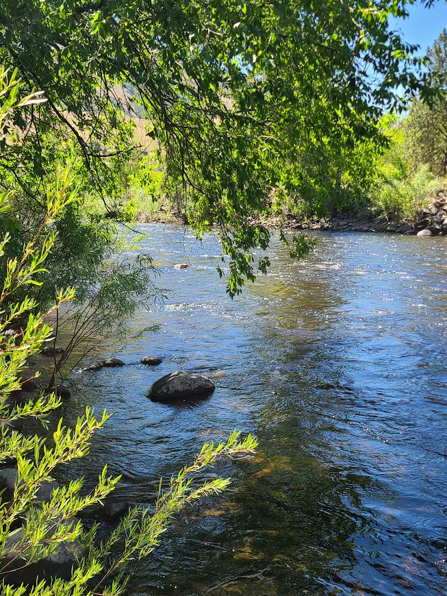
Went up the west side of Idaho. It was nice, much like what I'd seen before. Stopped at a rest area for lunch along the Little Salmon River.
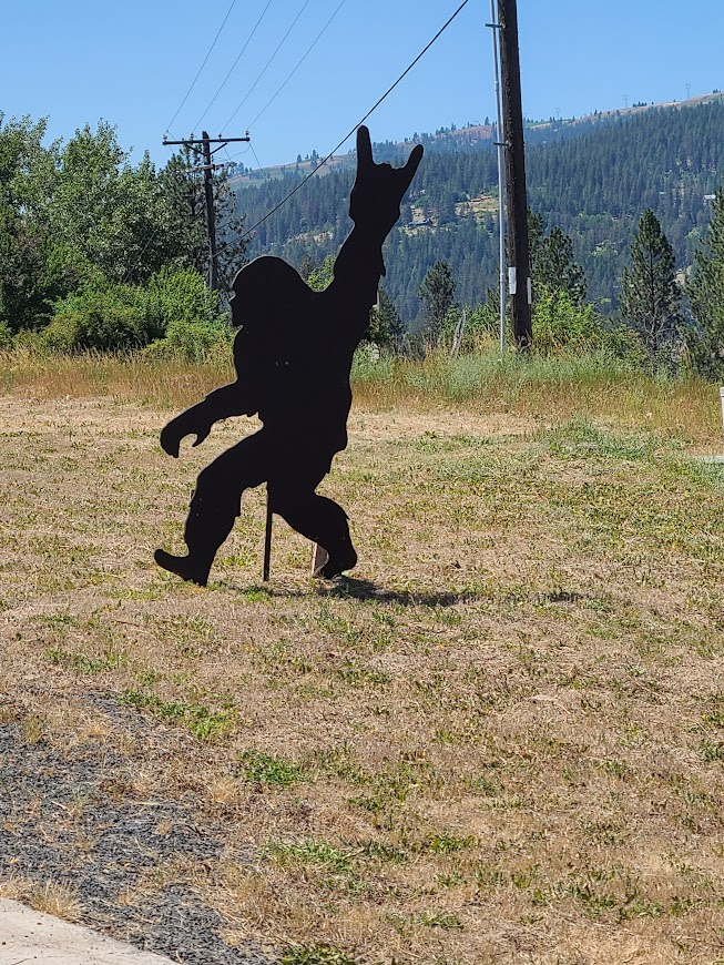
Man, the interwebs here are slow as ****. Anyway, saw this fun public art in Orofino, at a coffee shack outside the store.
Went along past Lewiston, ID and Clarkton, WA
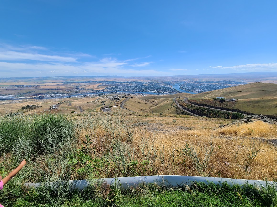
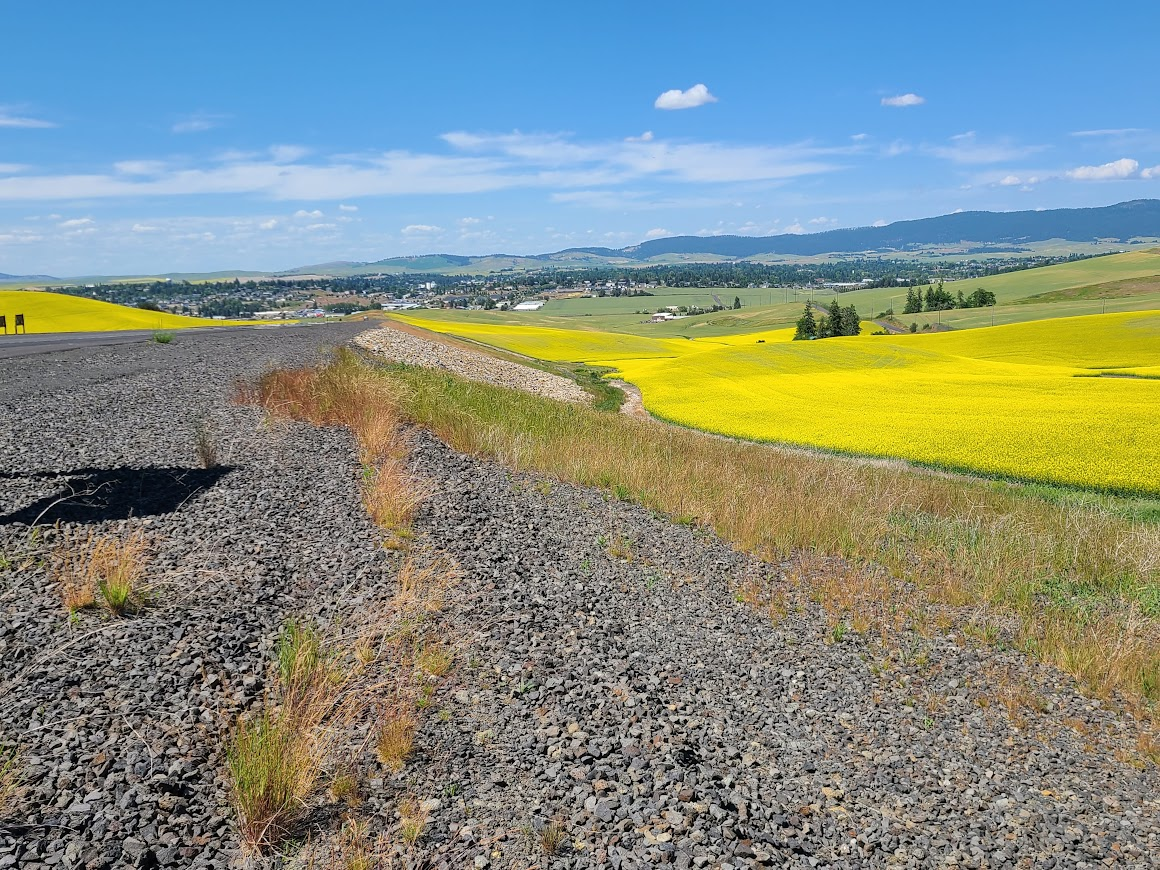
The Palouse is a lot like this. As George Raveling once said, "Pullman (Wash St) isn't the end of the world....but you can see if from there."
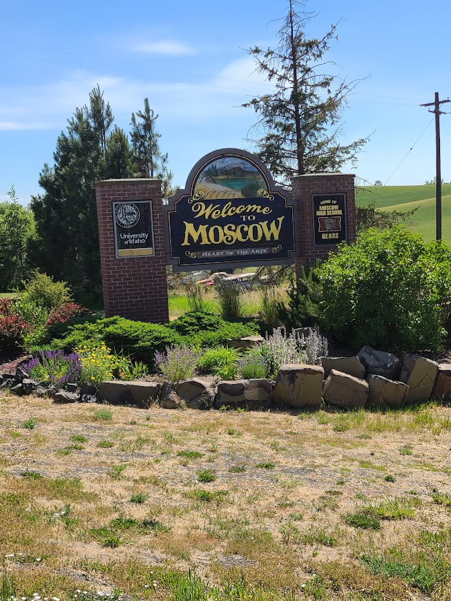
Next, found this place. It wasn't a large as I expected.
Kept going north. Stopped at a state park outside of Plummer (not sure if it has anything to do with ex-Broncos QB Jake. I think he's from Idaho). Quiet, good facilities, nice area.
Forgot to put these in at the end of the above.
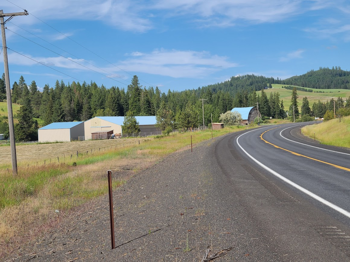
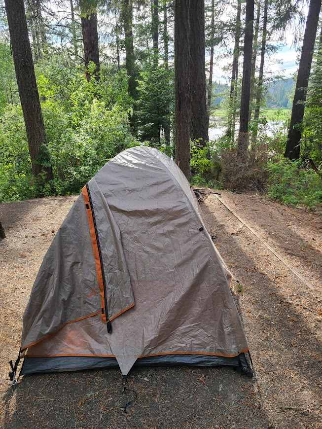
The next morning, got going and went here.
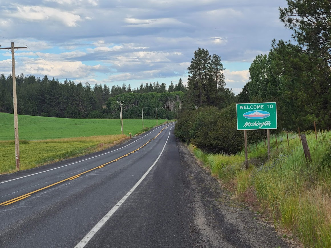
It turns out, the state of Washington has a reflecting pool too.
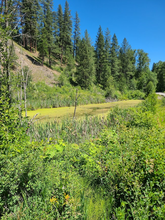
Some nice views going along
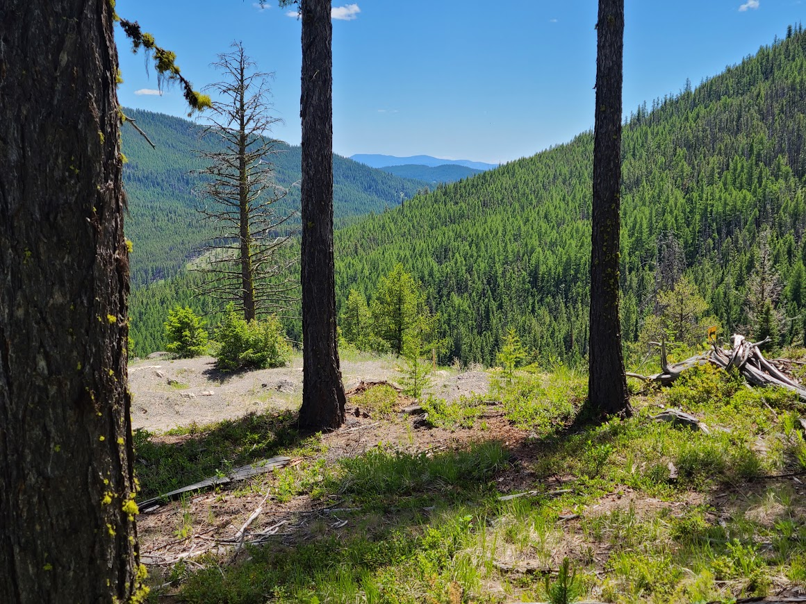
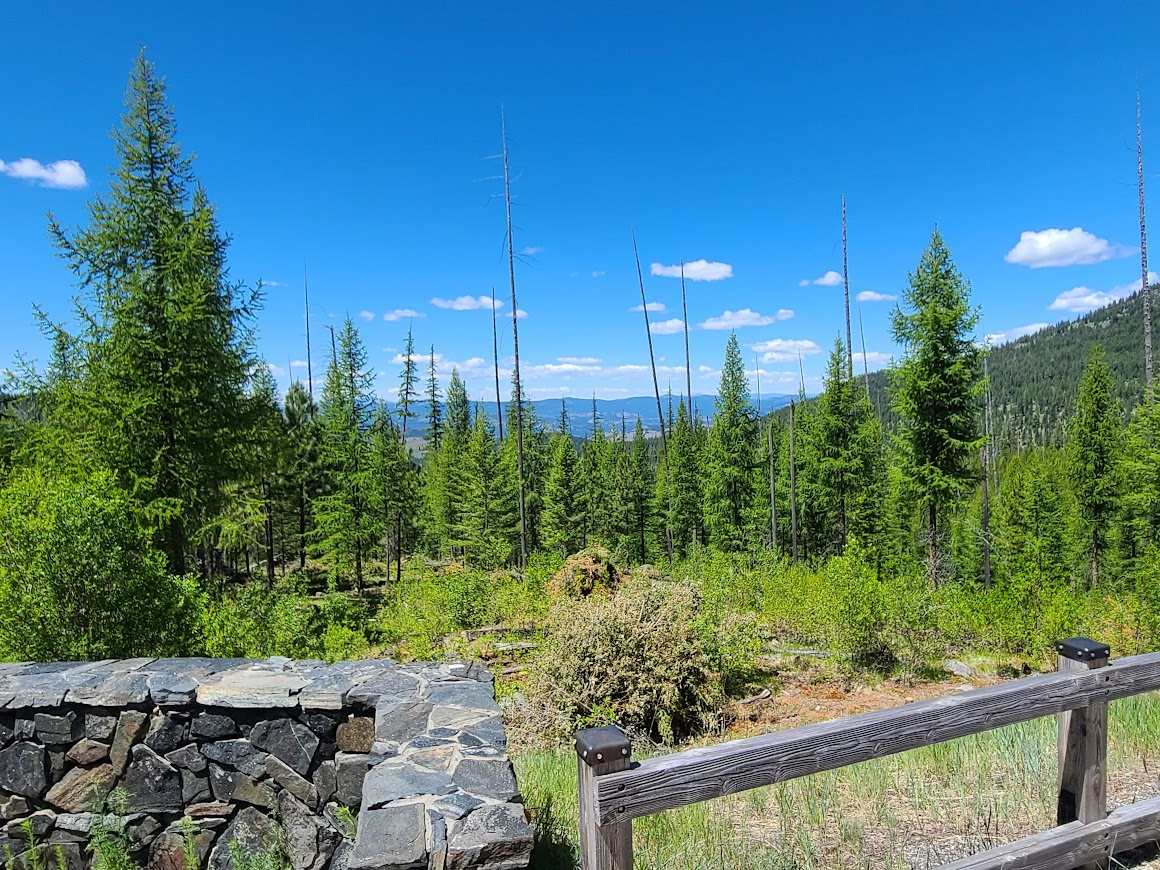
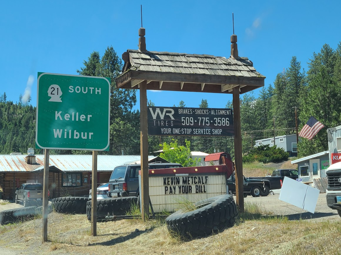
Passing through Republic, I saw this. Had a strange appreciation for the public shaming.
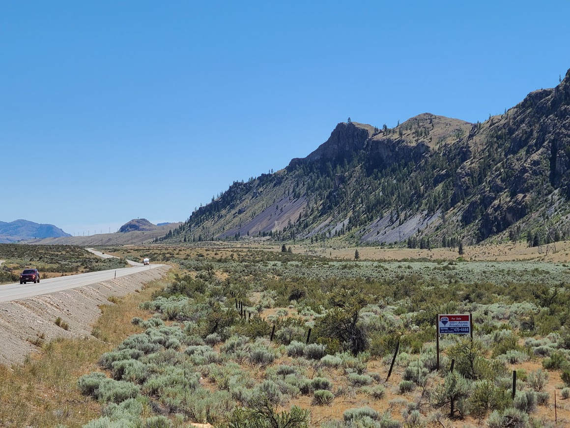
Some more scenery
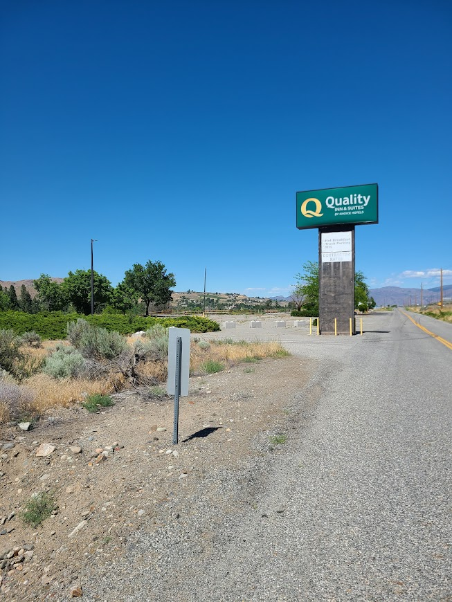
You know, when I'm in a hotel, I only need a simple place to stay, but this is too much.
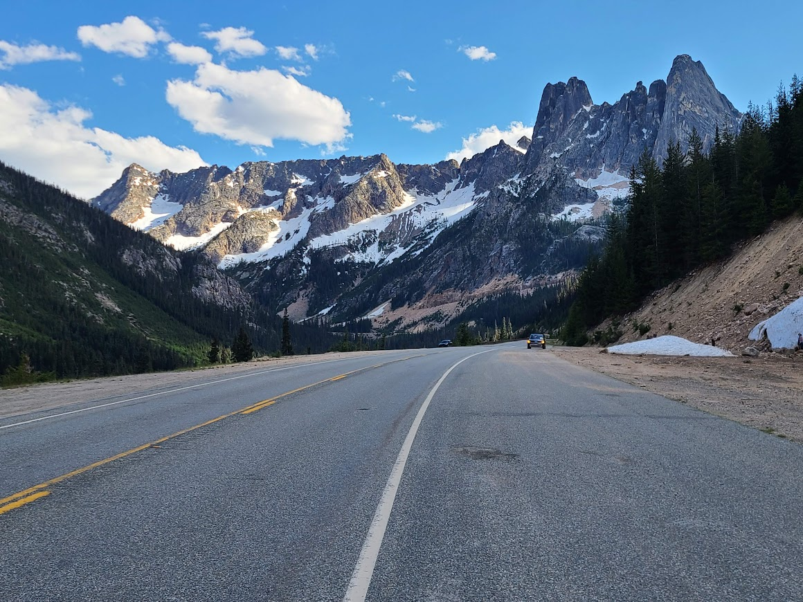
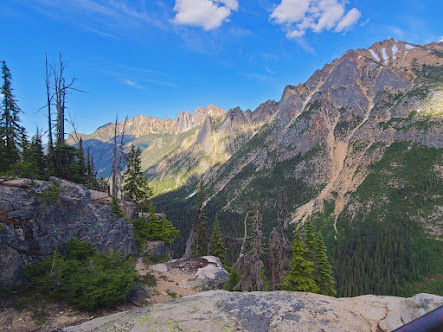
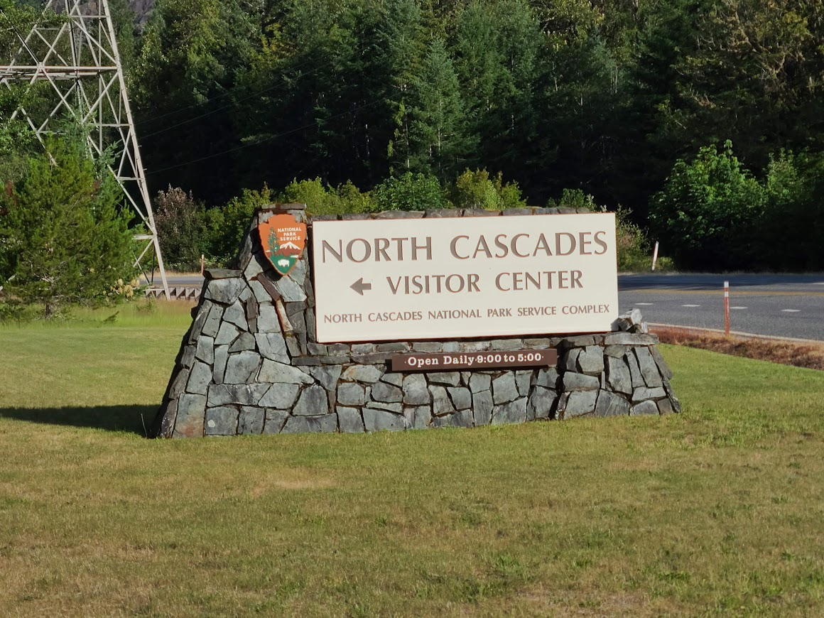
Heading up toward North Cascades NP
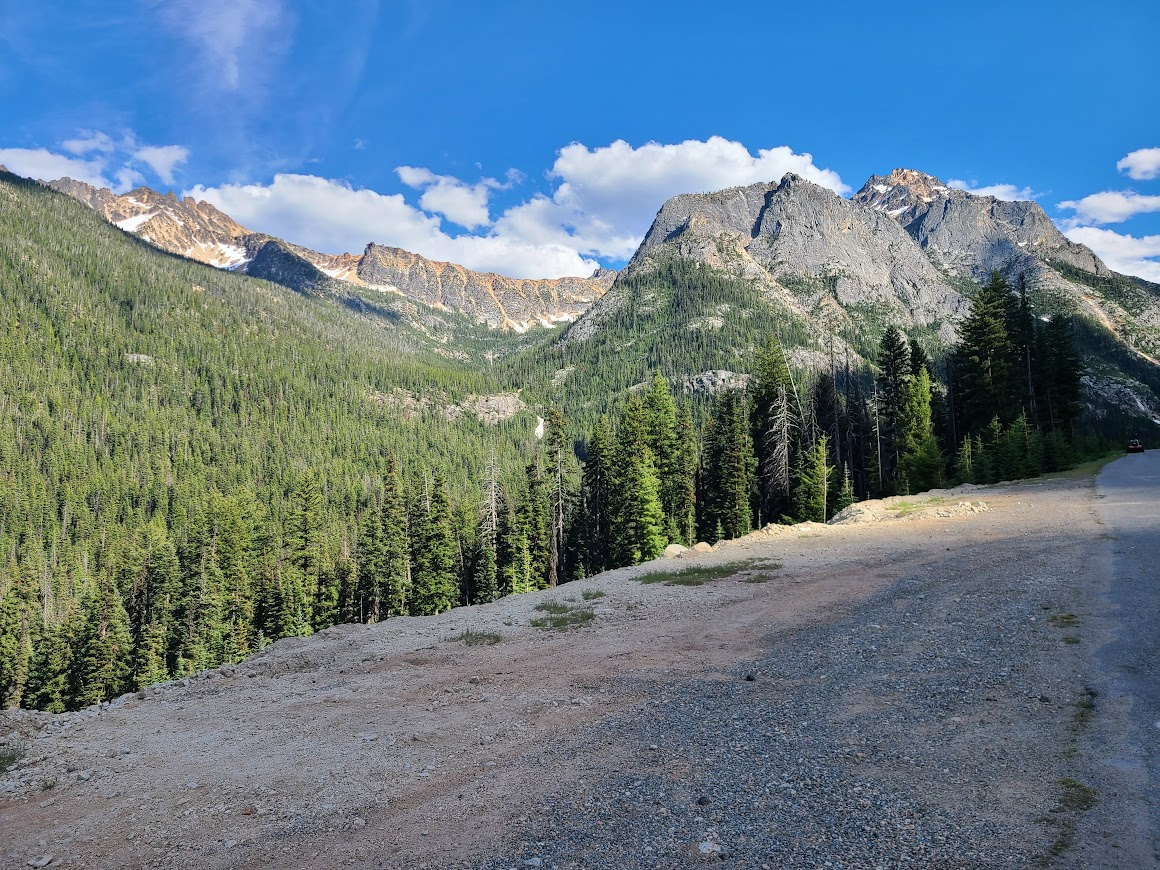
Just here, a mountain goat skittered away. Of course I wasn't fast enough to get a picture.
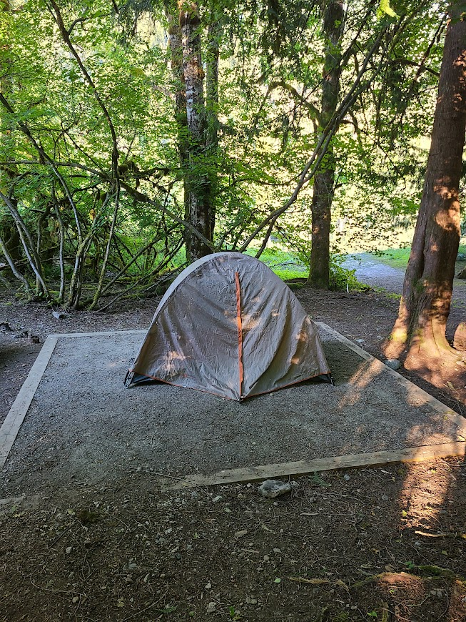
Rolled down to one of the campgrounds, didn't see anything open. Swung by the host site, who told me better what to look for. Found a nice spot.

Next morning, packed up and went down the road. Saw this first.
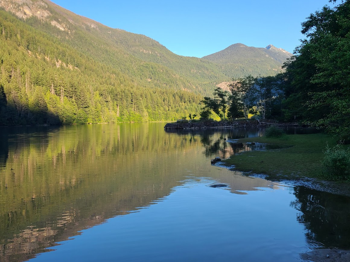
Chugged along, saw Gorge Creek and Lake
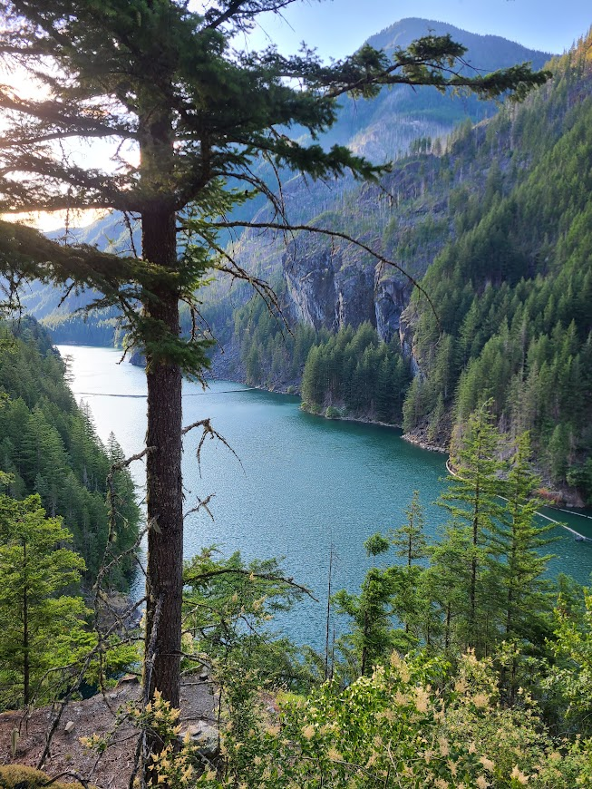
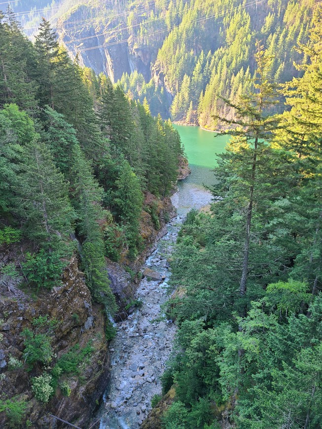
After a while, Mr. Sun made an appearance
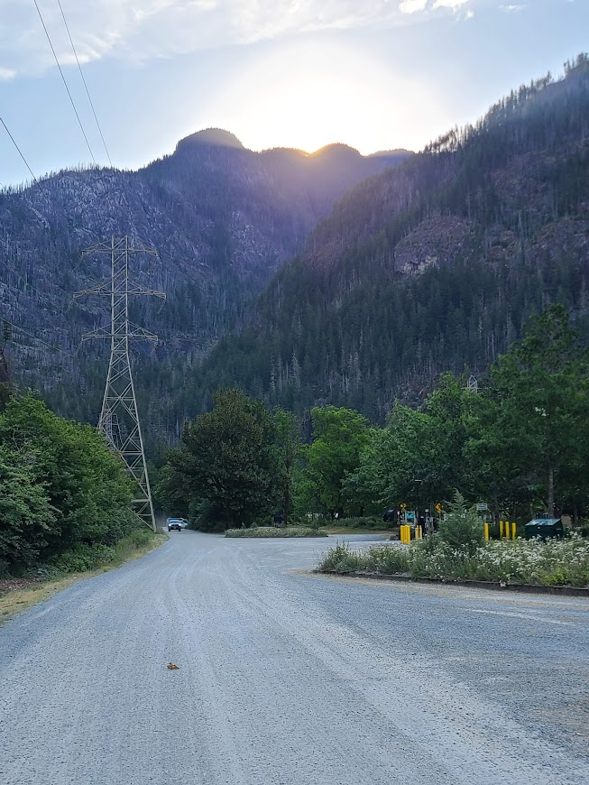
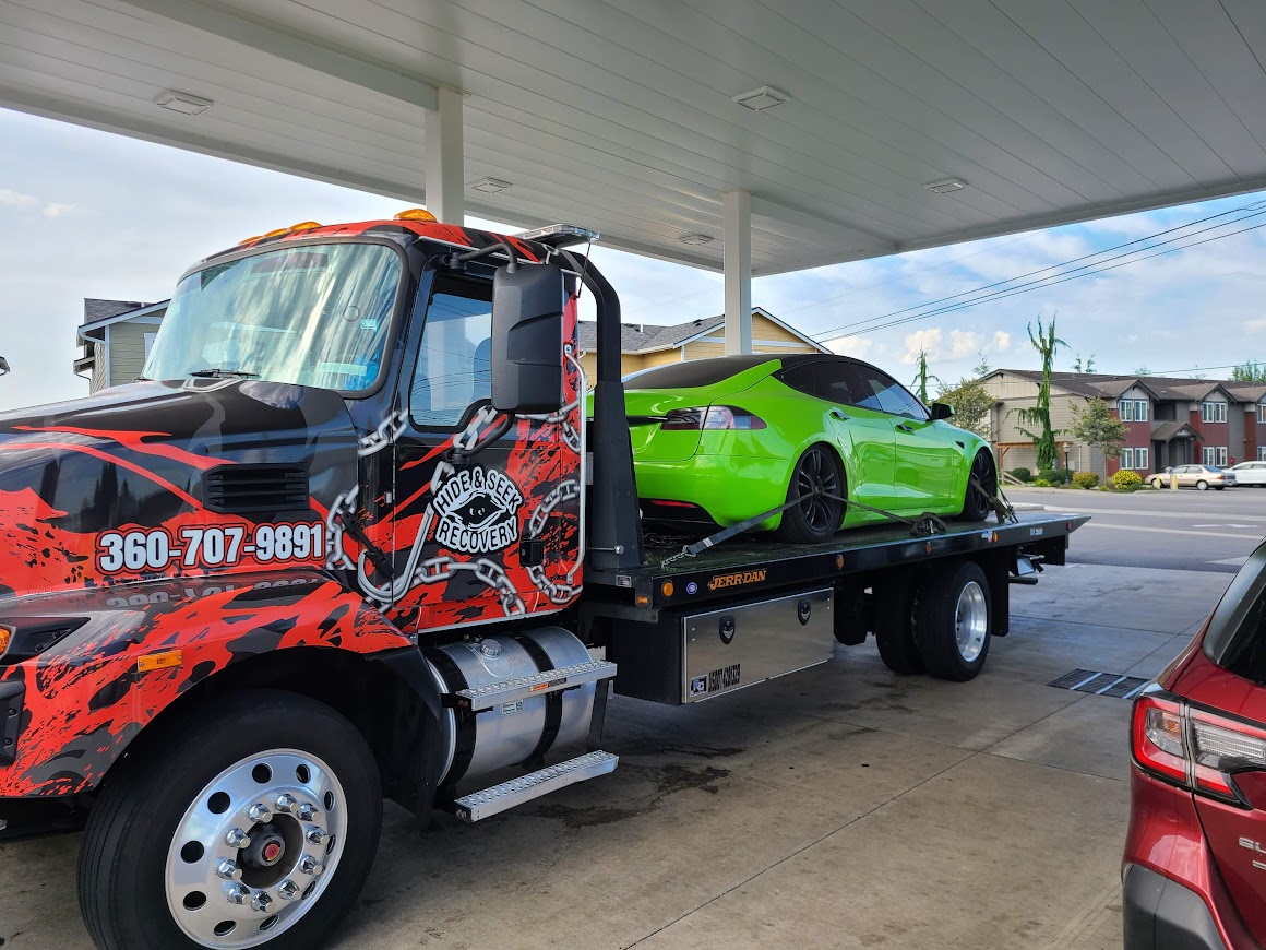
Saw this when getting gas. Not sure what I think of the color.
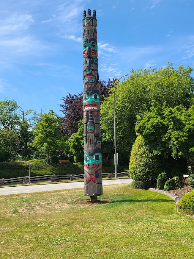
Some public art and a cool-looking tree near the border. Saw a couple trees like this, no idea what they are.
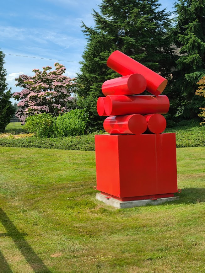
Trundled across the border. Got in the Nexus line by mistake, the agent sent me inside to do some stuff because I was in that line without a card (I guess). Didn't take too long. Border kinda came upon me, I didn't get a picture of the crossing. Came over at Abbotsford, anyway.
Had Mary Brown's Chicken while passing through Surrey. It had been mentioned in the FF thread, it was pretty good.
Anyway, the reason for me to go into Canada is because I like those geographical oddities, so I headed to Point Roberts. It's like little (I'd guess about 3x3 miles) chunk of land sticking down from Vancouver., far enough south it's part of the US.
They have a marina. Boat or going through Canada are the only two ways to get here.
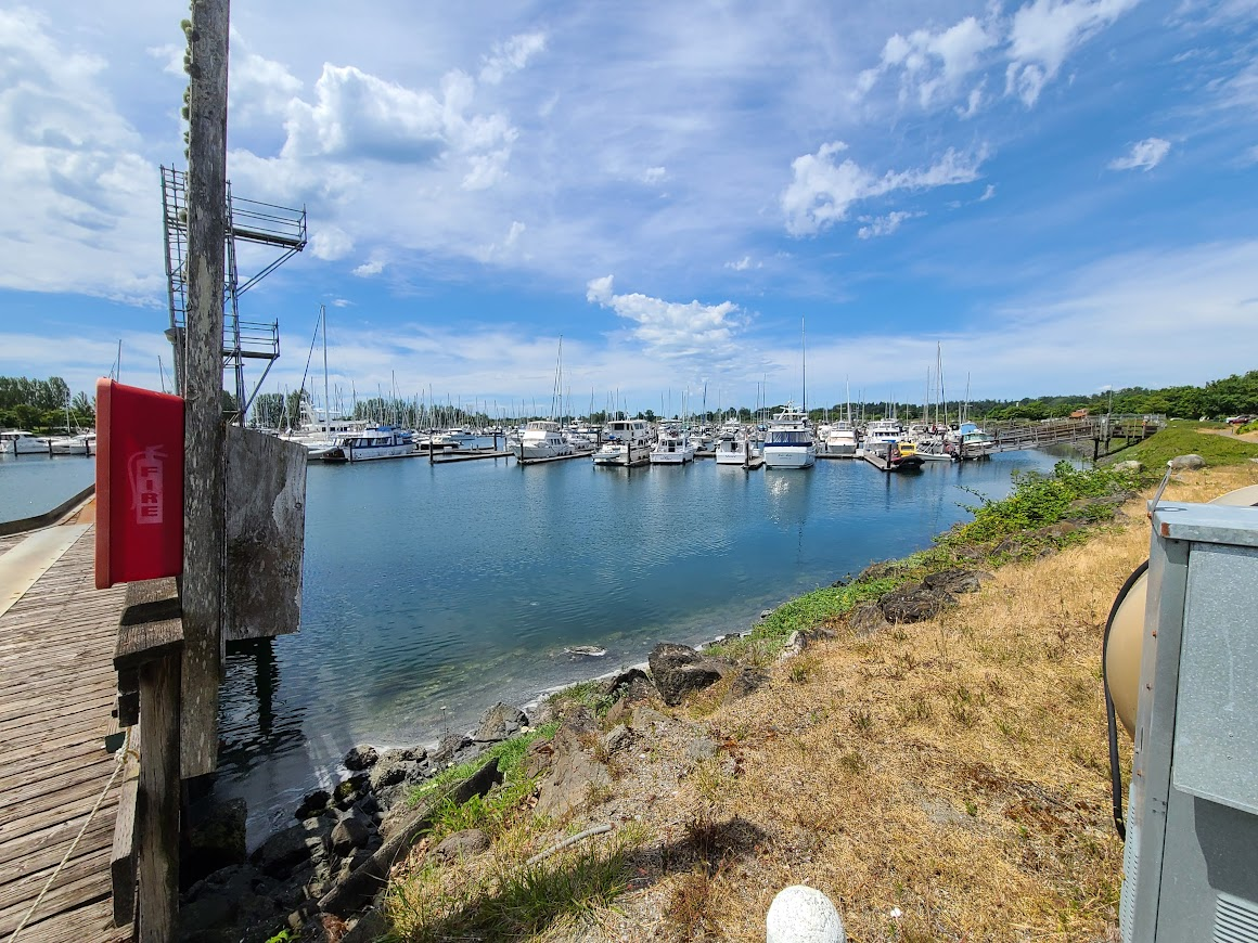
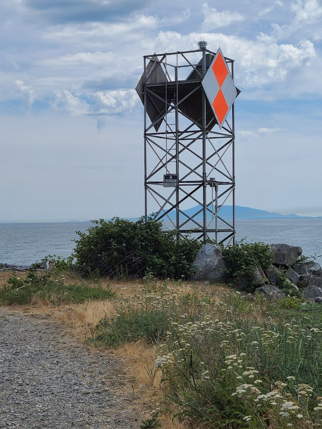
On the west side, there is Lighthouse Marine Park. I guess this is the lighthouse?
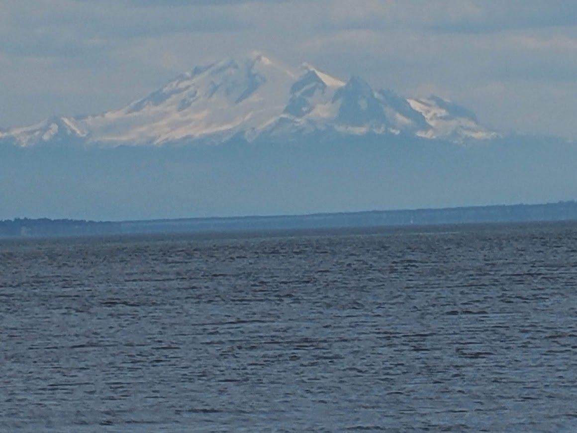
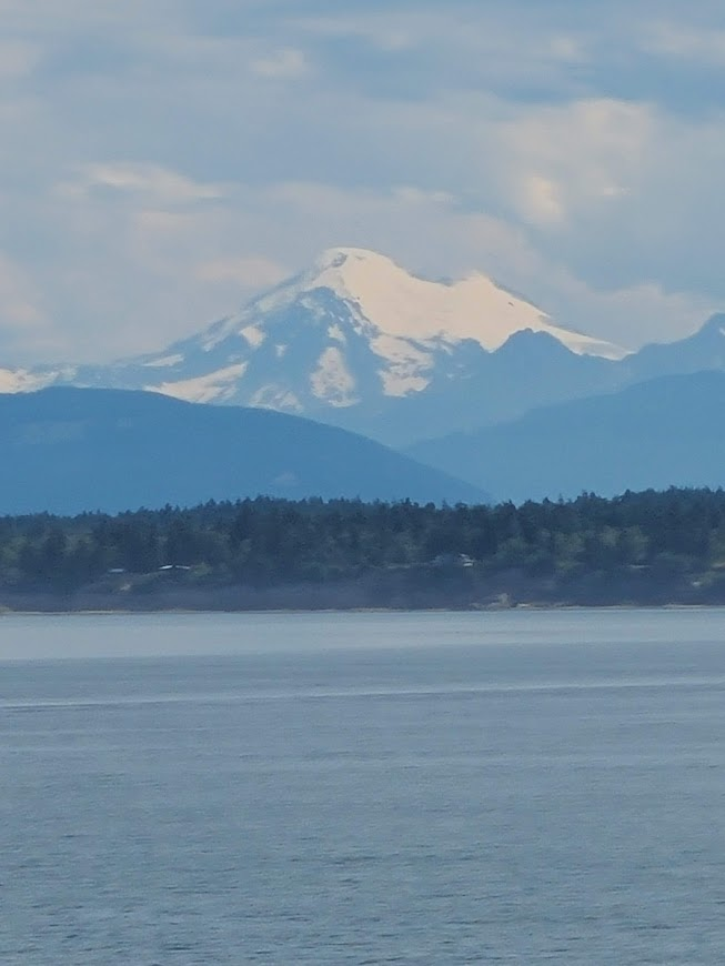
I assume that's Mt. Baker off in the distance.
And the Pacific. Took off my sandals cuz those rocks are all smooth, it'll be easy to walk down and dip my toes in the ocean.
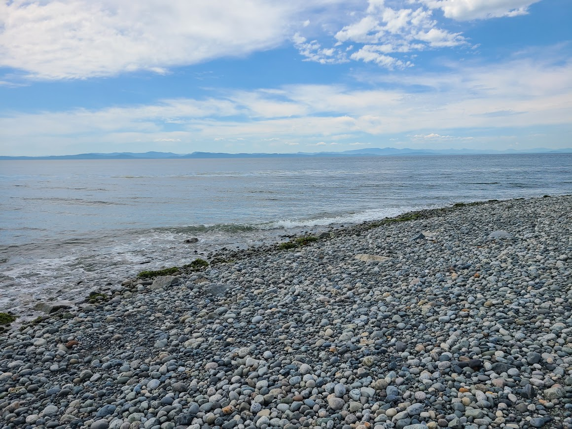
Hurt like hell. Cold, too.
Trundled up the west side. Came upon the tavern. Figured I'd stop and have a beer in the most northwesterly (continental) bar in the US. Only open weekends. Sigh.
The very first boundary marker.
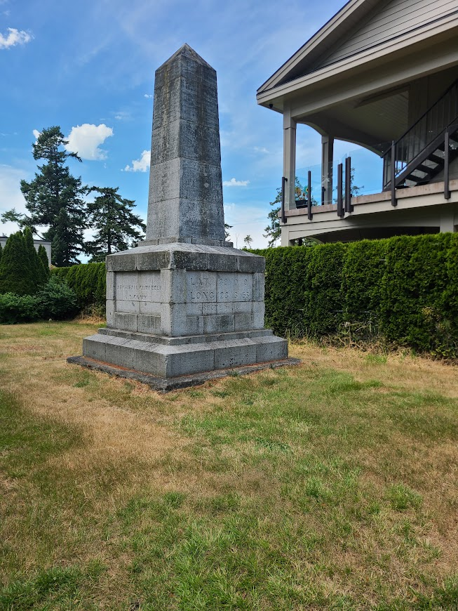
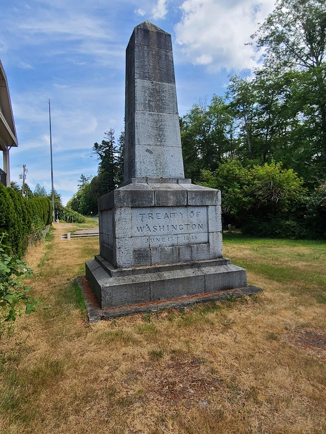
A couple views of the actual border.
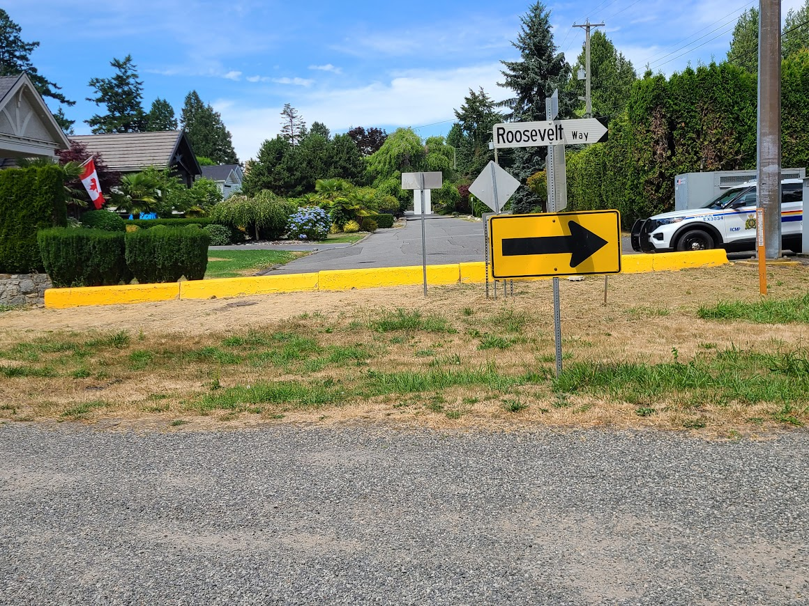
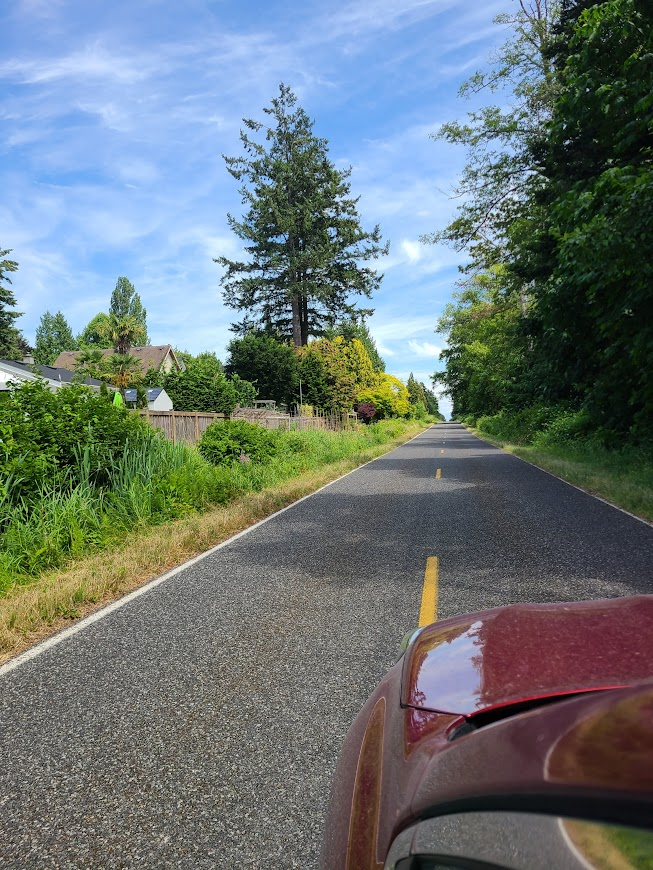
Yep, just people's fences. We need a wall. I guess.
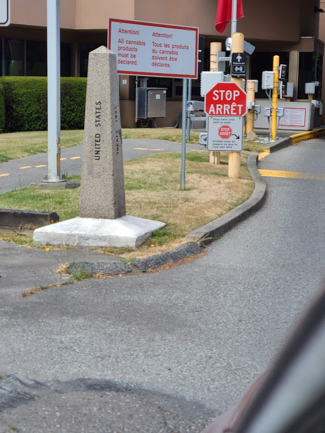
The marker at the border crossing.
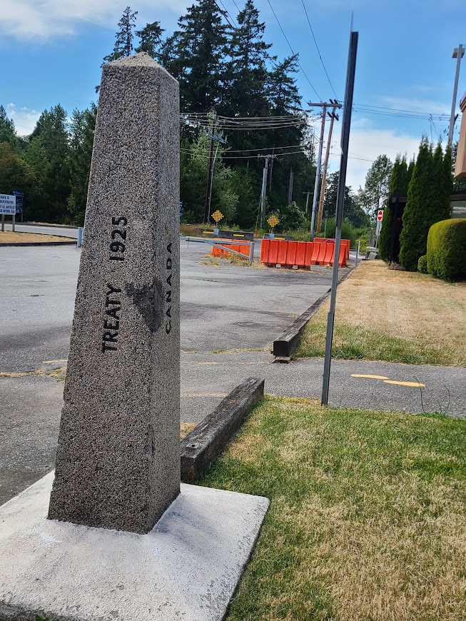
Then cruised down to the main crossing, where there's a Peace Park. Took some time to walk around that.
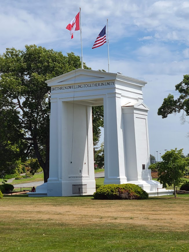
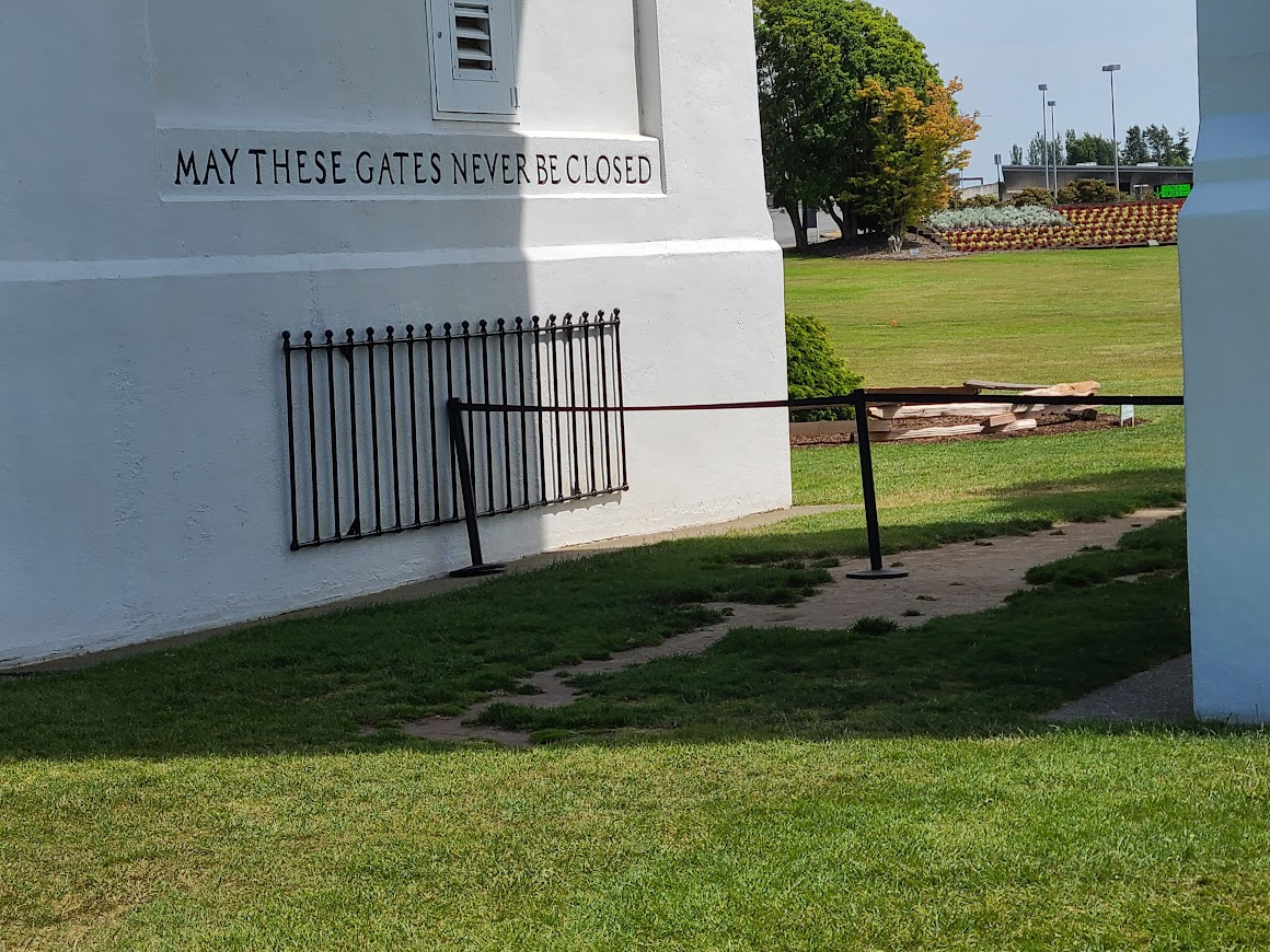
Well, I guess the gates aren't technically closed. Sigh.
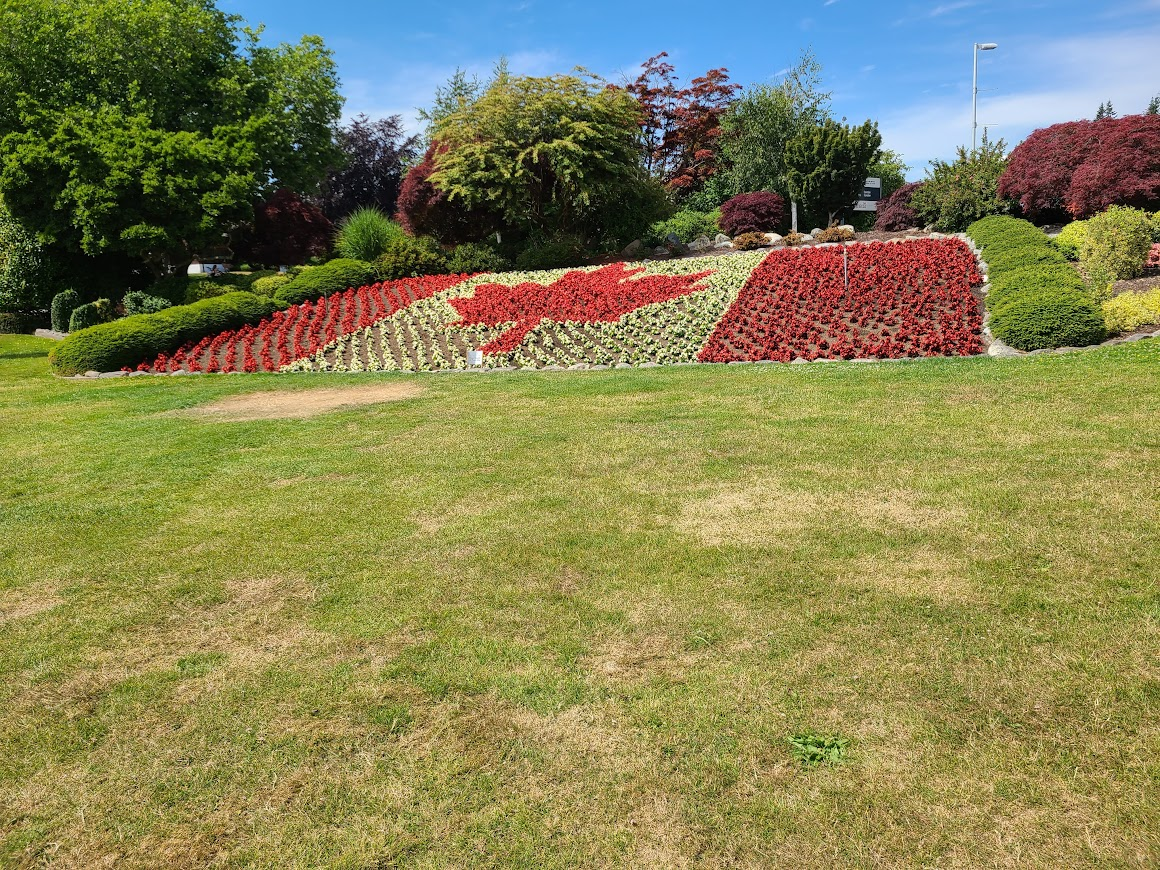
They had some nice flowers too.
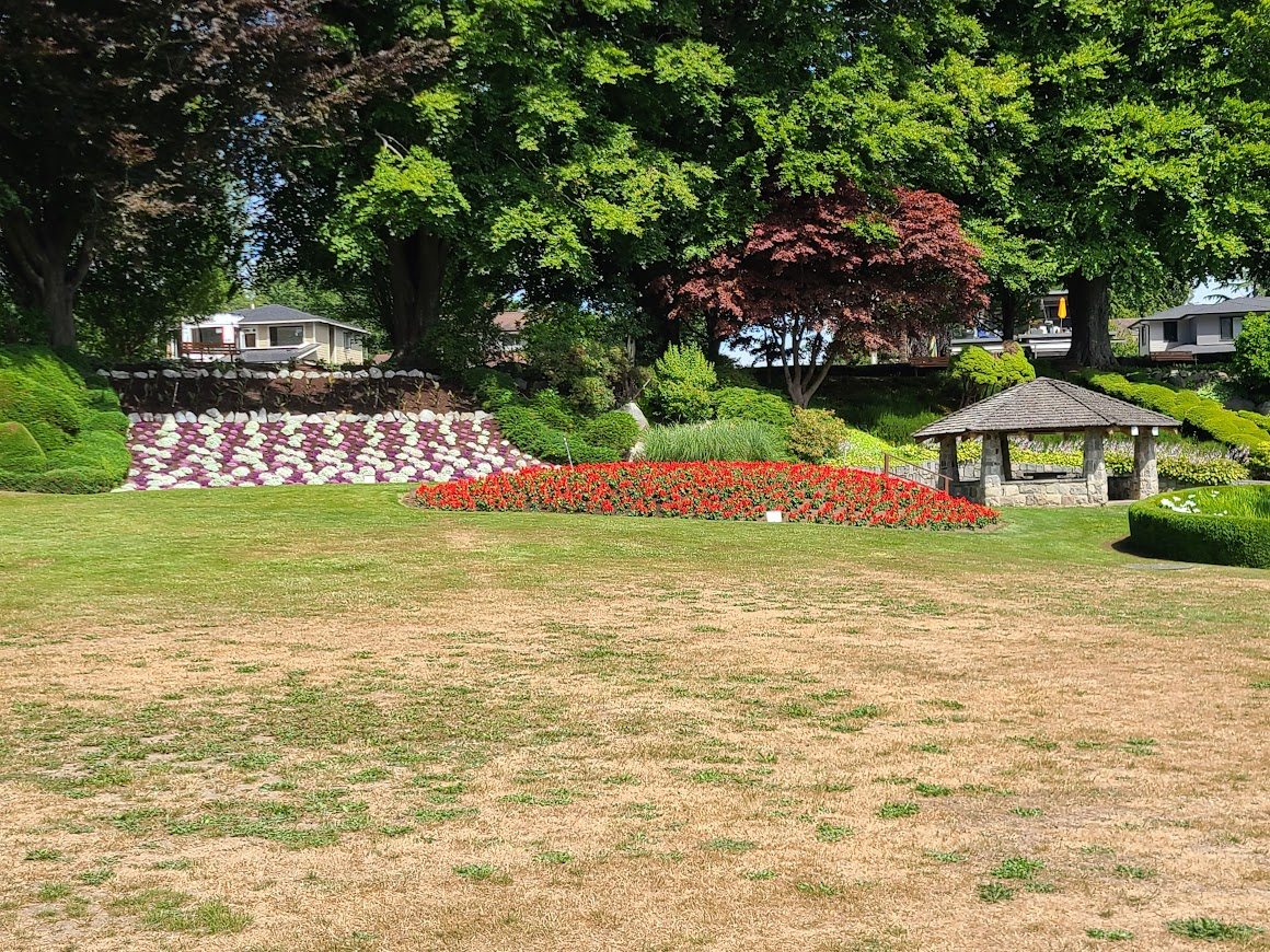
There's also a Peace Park on the US side. They want a fee to enter. Sigh.
Stopped in Bellingham to visit a friend, Nice to see him again. We got to visit for about an hour. He's going through some stuff, I hope it was helpful for him to get stuff off his chest.
Left and got a far as the next exit, where I saw a sign for a state park. Get down there, of course the check-in is closed. They have a number posted to call to make reservations, so I did so.
Amanda said I'd be in site #9. Get there, and there's a van parked. Go up to the host's site to see what we can do. Turns out they had another spot open, so just put me in 17.
Surface very stony. Could only get tent pegs in a few inches. Fortunately, it was calm so they weren't really needed.
Pulled out the poles, and one of them fell apart in hand. The inside string broke. I always pack a super-simple tool kit (no idea what I think I'm going to do with a screwdriver and pliers), but one of the things I pack is duct tape.
So, I was able to duct tape the sections together, and get the tent up good enough.
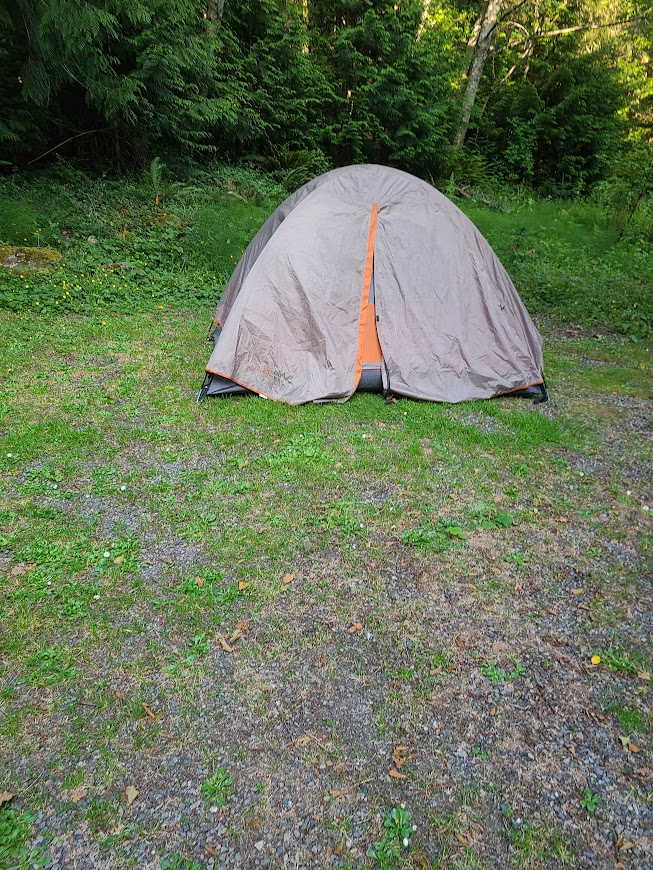
Handyman's secret weapon!
Next day, woke up and headed down the highway.
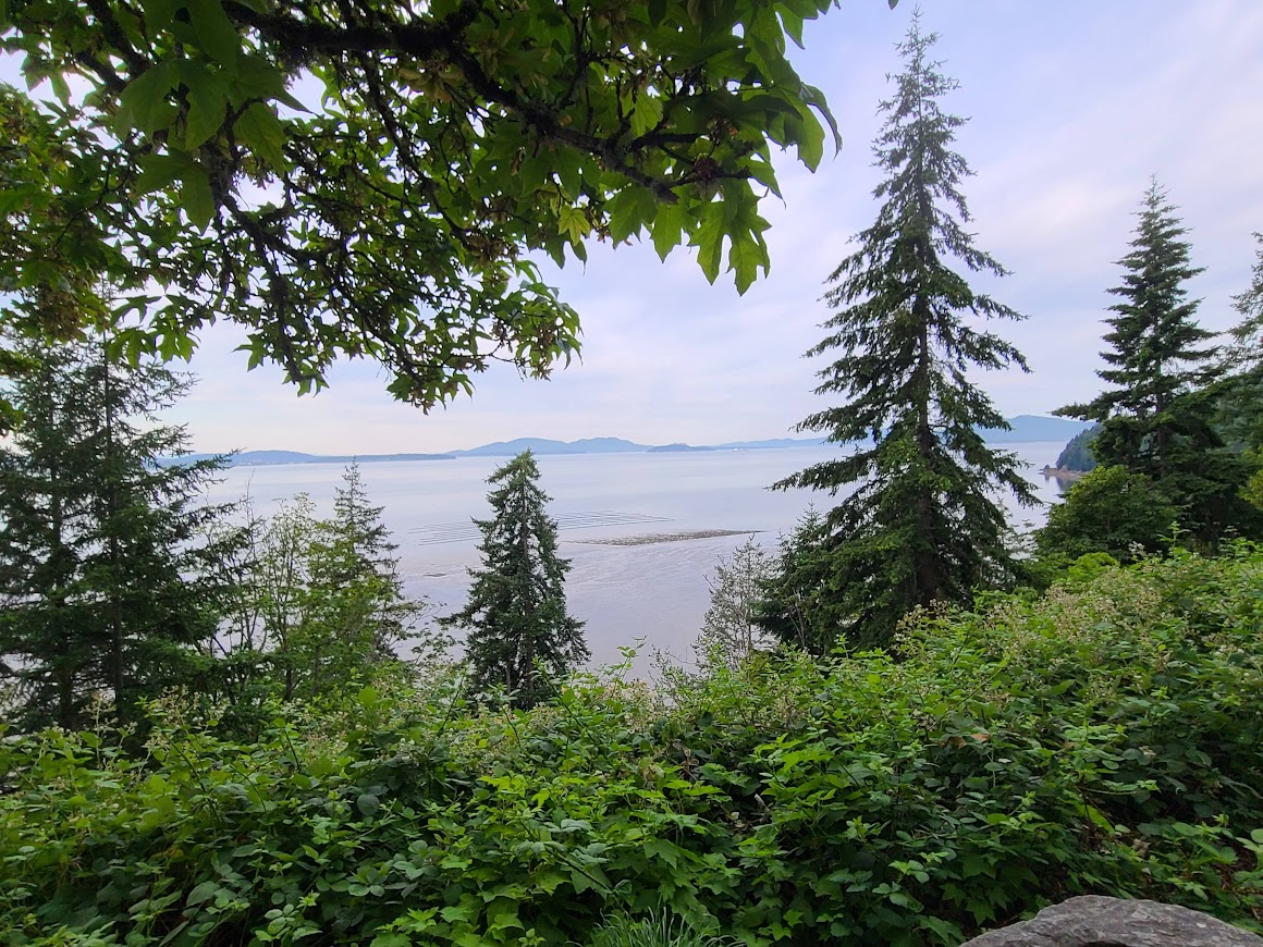
Saw Samish Bay.
Somewhere, saw a phone booth. Not sure if functional.
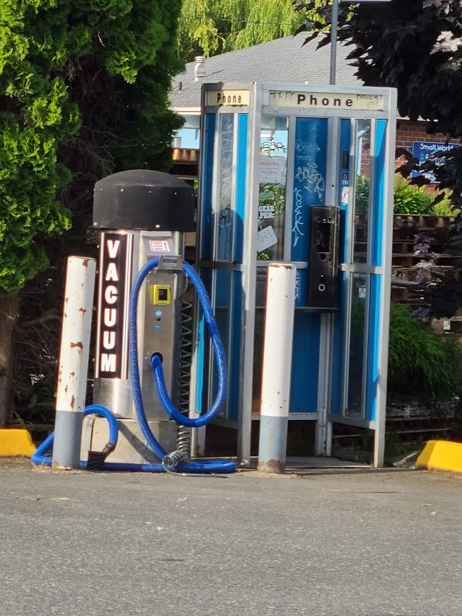
I didn't think those existed any more.
At some point, texted my friend in Seattle to see he he'd be available for a meetup.
He was in the office that day downtown. Advised we could go to lunch, but between the World Cup game and parking madness, he couldn't advise me on where to go. So, we decided to meet at his place after work.
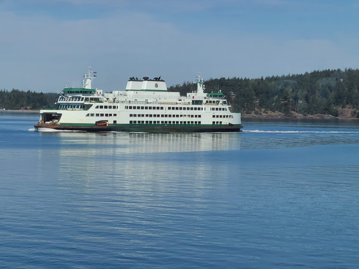
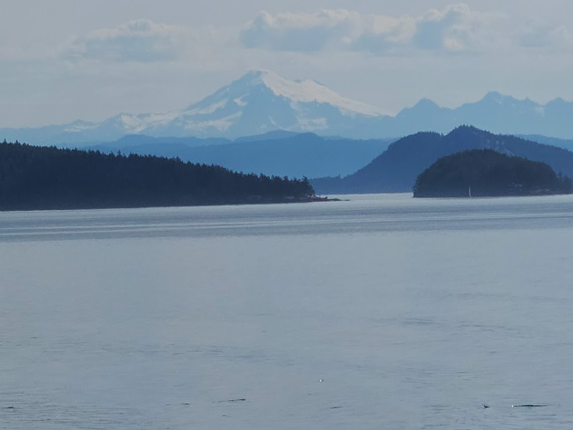
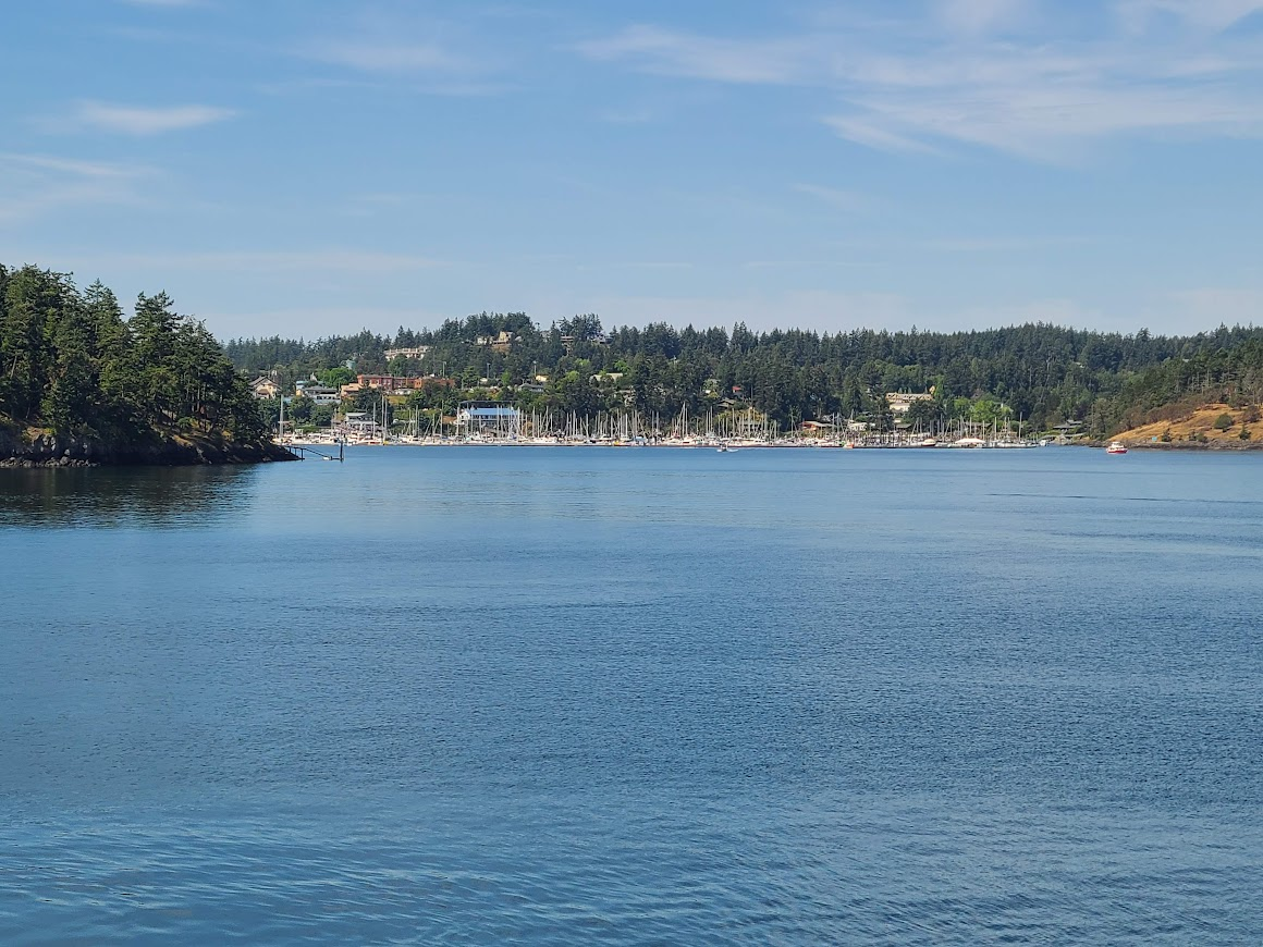
I audibled and decided to go to the San Juan Islands. Got up to Anacortes, and the next boat left in a half-hour, and was going to Friday Harbor. Well, I guess that's where I'm going. Here's what the ferries look like. It's about an hour and 15 to get to Friday Harbor.
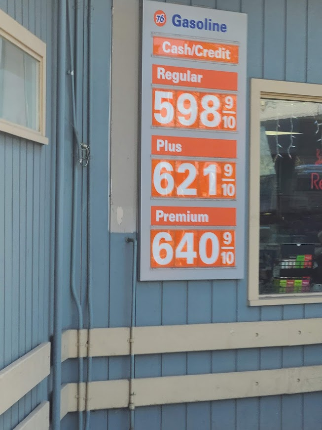
Here's what they're selling gas for up there.
Walked around a bit. Initial reaction was that it is like Key West in the old days. Not completely taken over by tourists, but getting there. Shops, restaurants and bars. Found a place to get a shake.
My options were to get back on the return, or wait three hours for the next boat. Since the place wasn't turning me on initially, and I wanted to so some errands, decided to just turn around.
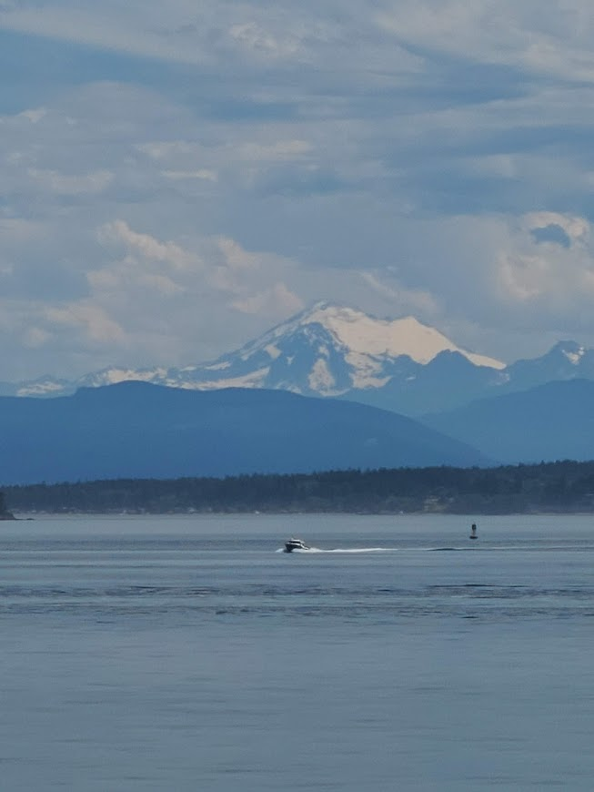
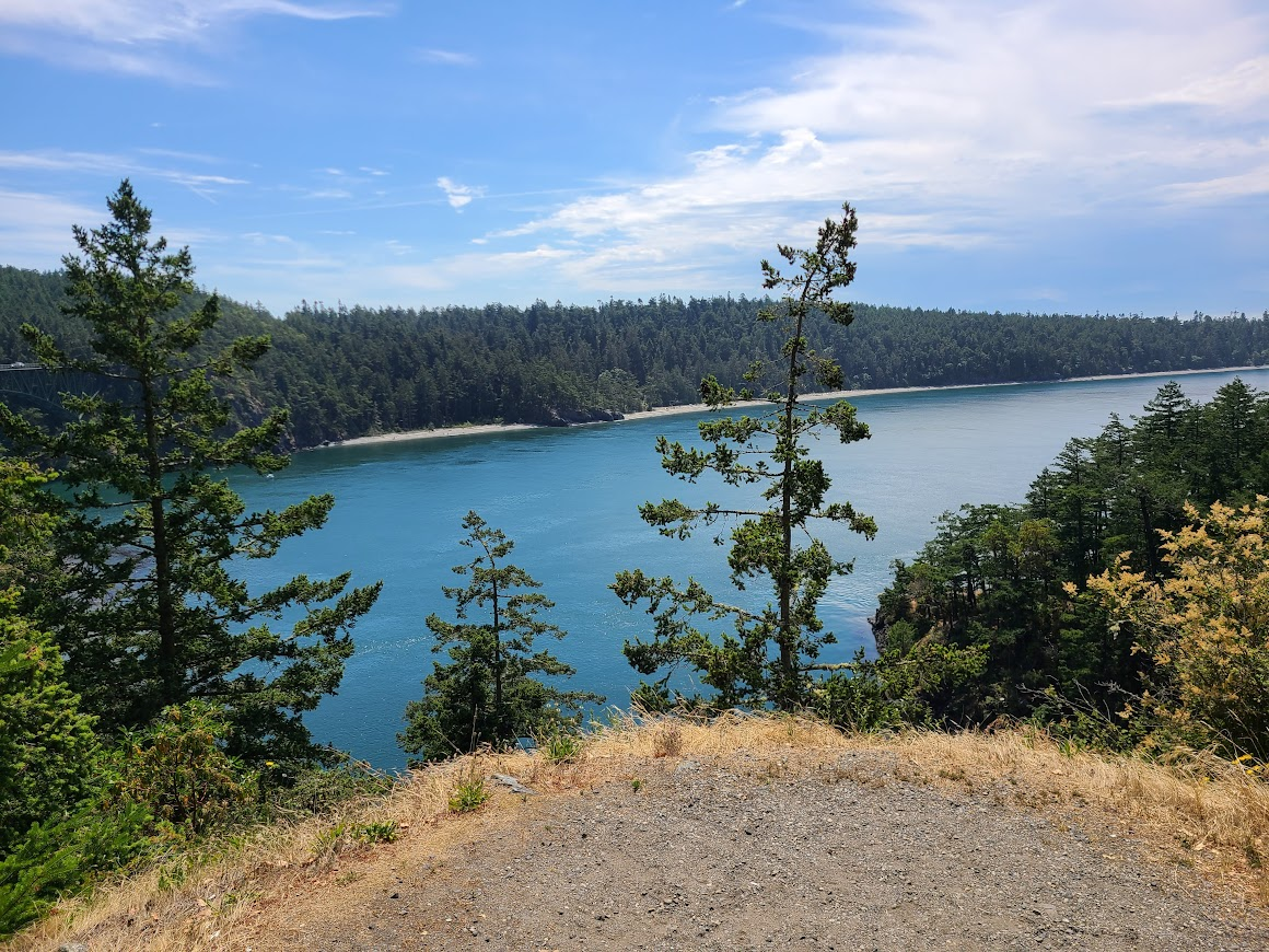
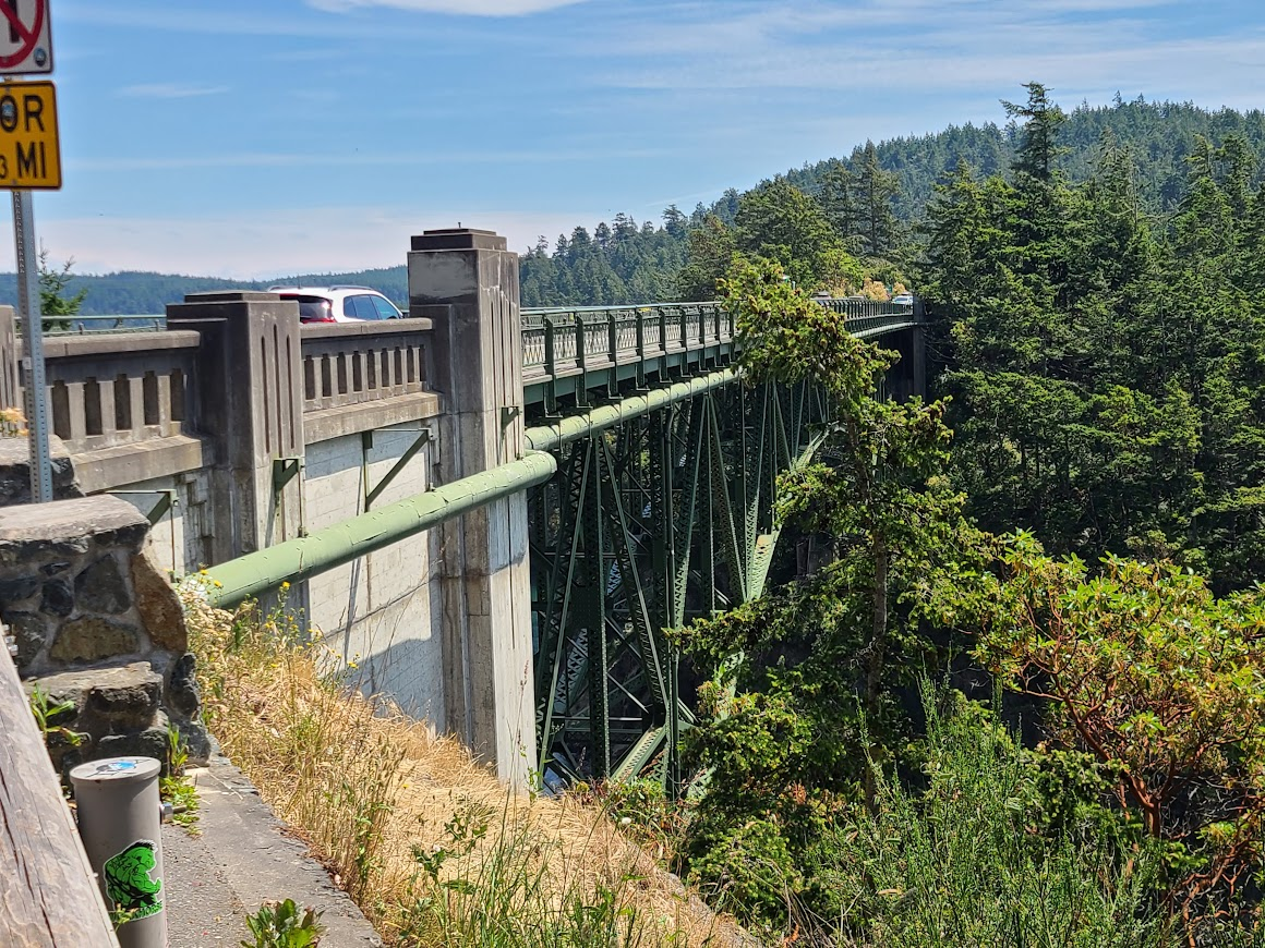
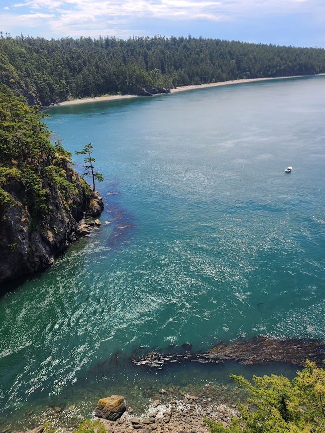
On the way toward town, stopped by Whidbey Island to see Deception Pass. Its a narrow gap, which has a bunch of different currents meeting up. That, in addition to the tides, makes it tough to navigate--especially in the old days, when it was named.
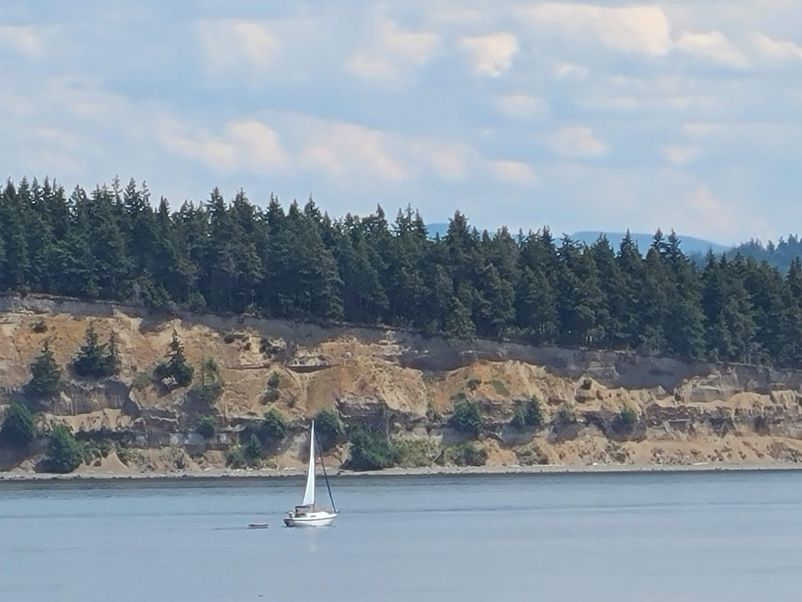
Cruised on down to Seattle. Got an oil change on the way to my friend's. He'd sent me to this spot, which was just close to his house. As I parked, he was walking up the sidewalk from the bus stop. Perfect!
Had a really nice evening catching up with him and his wife. They were having burgers before going to a movie, and were nice enough to throw one on for me. Of course, being the nice people they are, they offered to let me stay the night, but I wanted to get down the road.
On the way out of town, found Kerry Park, which is the famous overlook of Seattle.
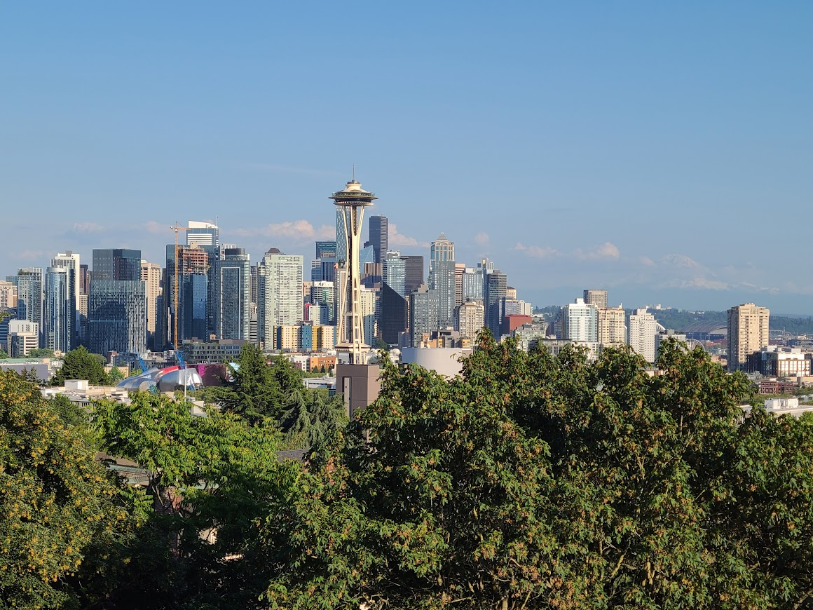
You can kind of see Rainier in the background. I bet it was a pretty spectacular sunset, but I wanted to get going.
Cruised down and around, not finding a place to stay. Finally, just about sundown (later than I like to be out), got a spot in Bremerton.
Woke to a cool, cloudy day. Saw Sequim Bay.
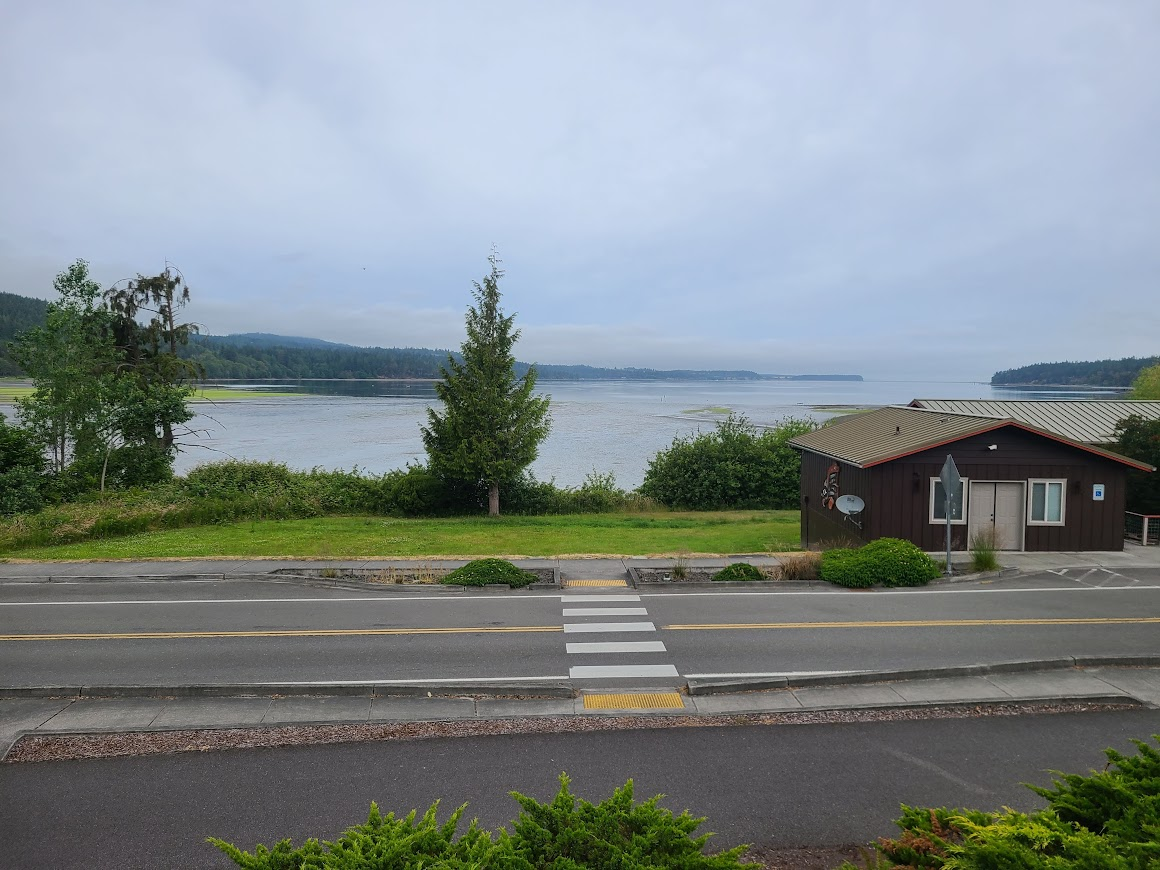
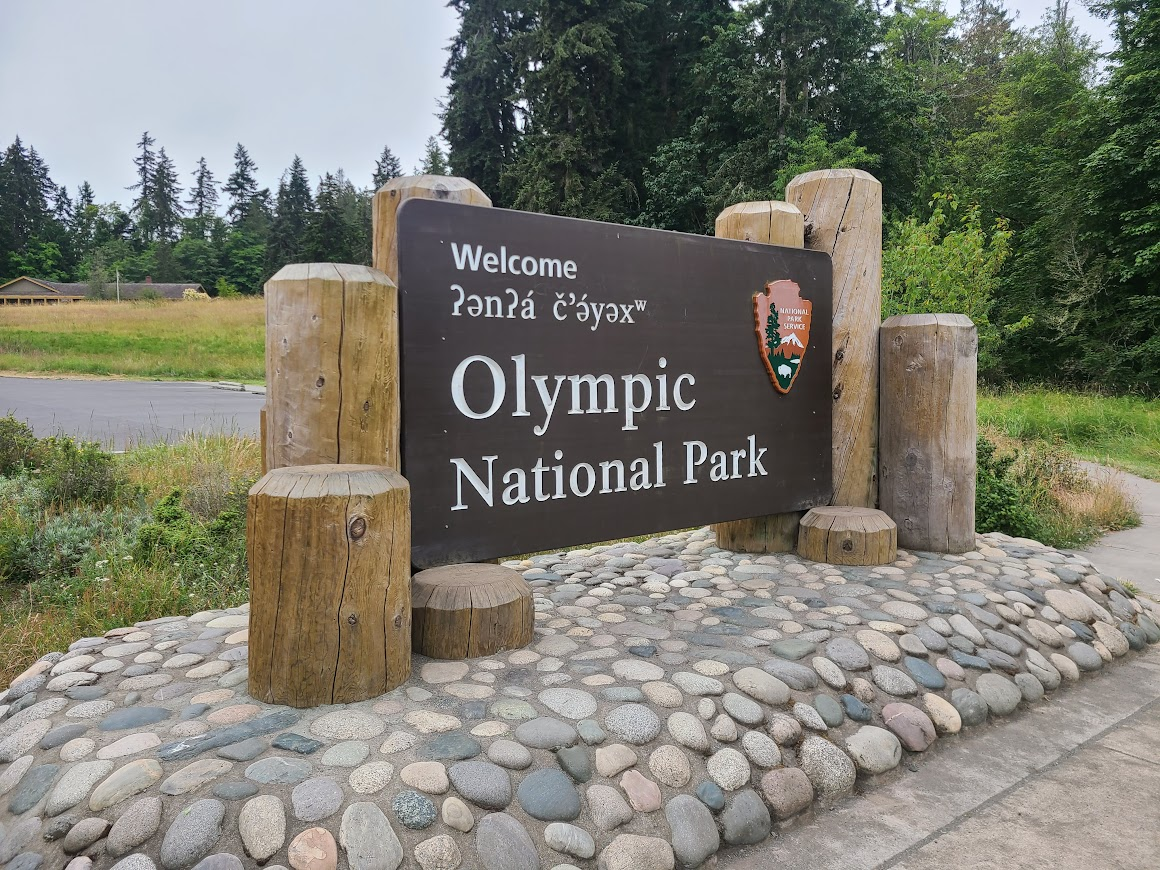
Then headed here
Puget Sound covered in cloud
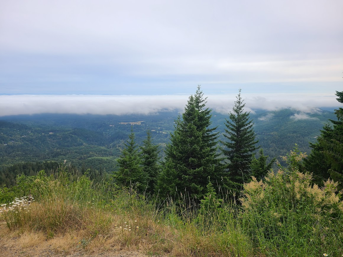
Eventually got up to Hurricane Ridge. Still not nice out, but decent views.
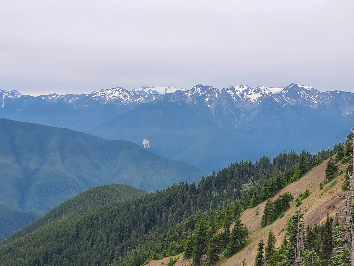
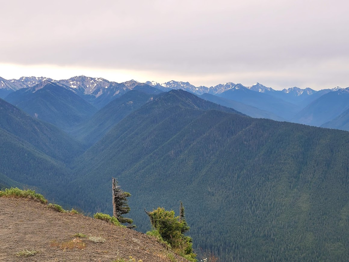
On the way down, saw this guy
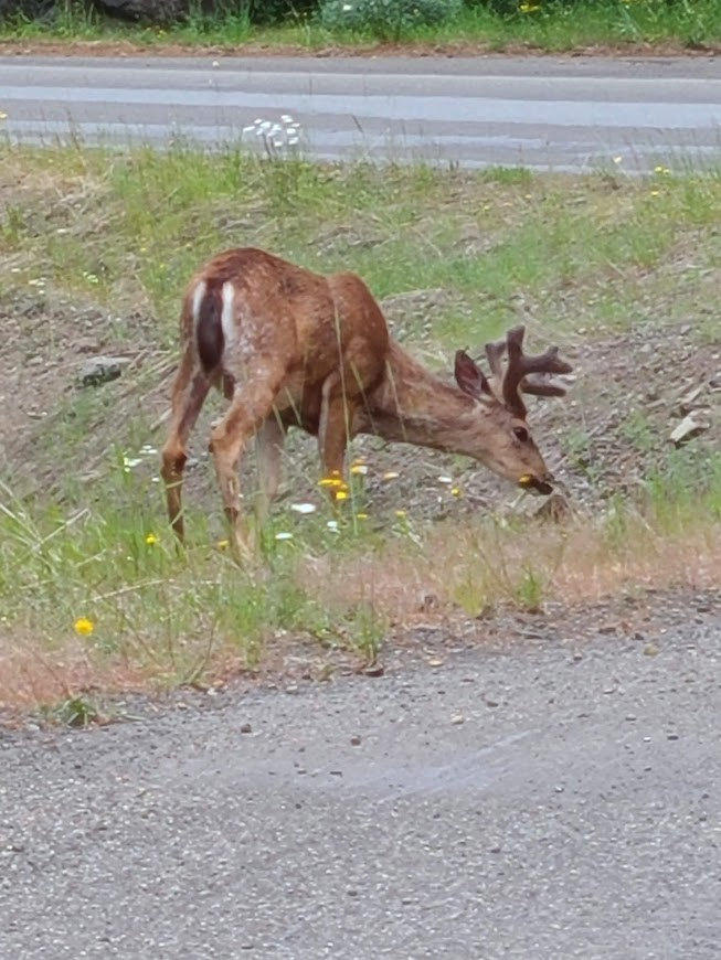
Too small to be an elk, antlers not right for a deer. Asked at the visitor center, turns out it's a black tailed deer. I was only familiar with while tails from the midwest.
Started to rain, so I went into town for lunch instead of my usual picnic. Since I was wanting to be inside something, and I like going tothe end of the road, I decided to head toward the end of the continental US.
On the way, saw interesting clouds over Clallum Bay.
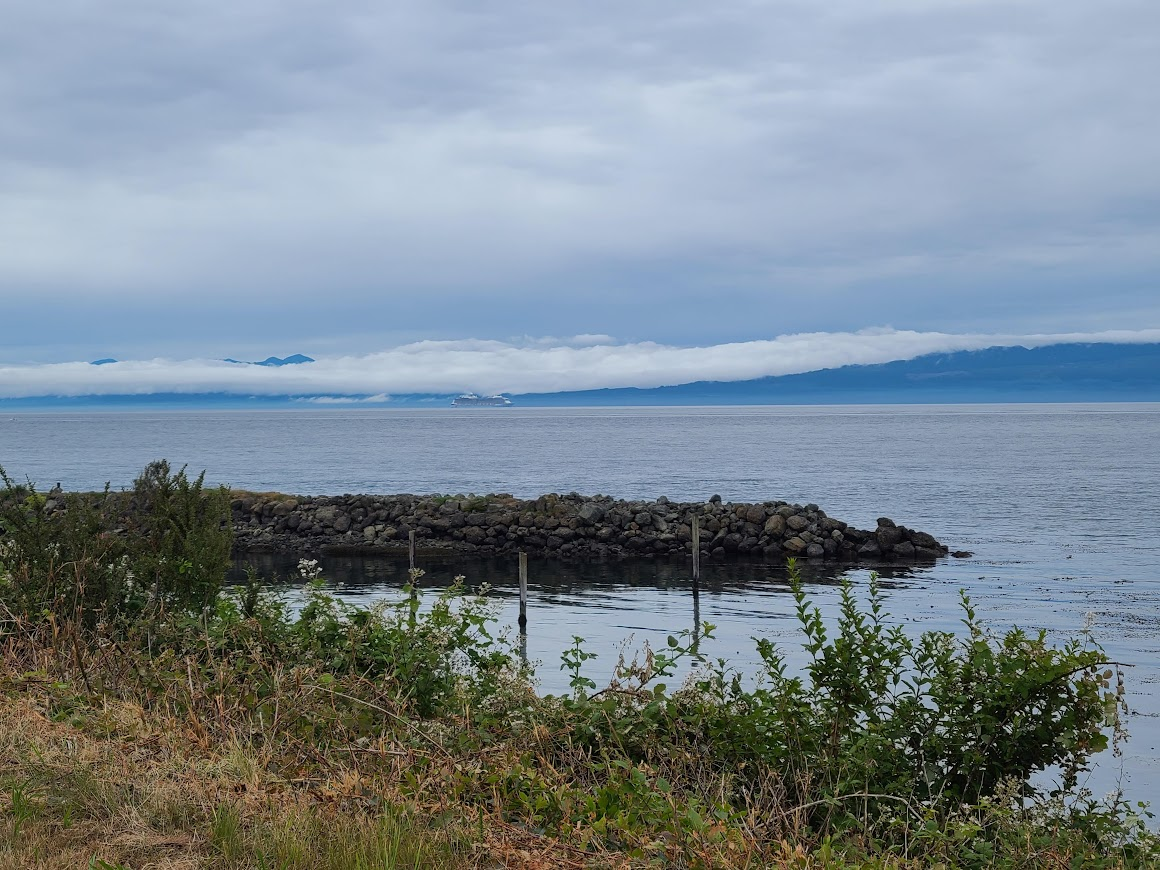
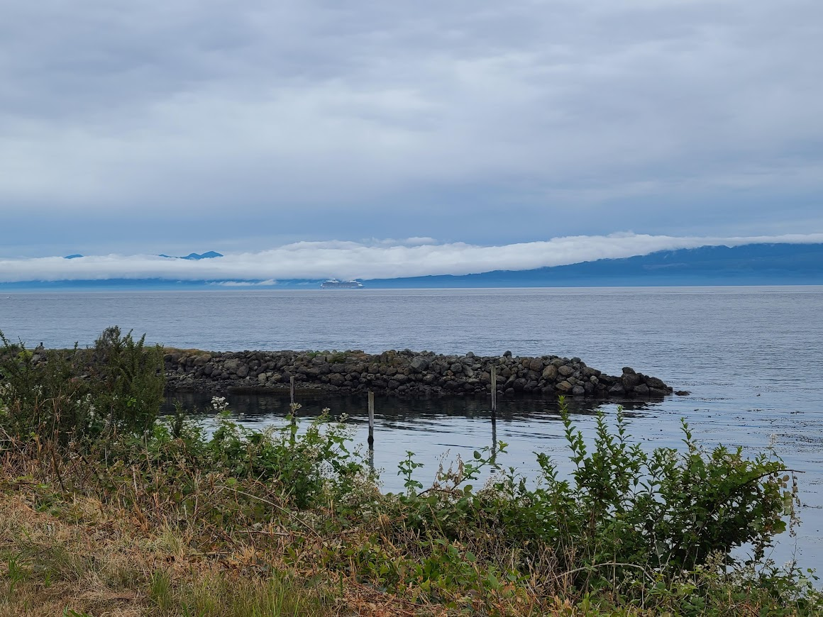
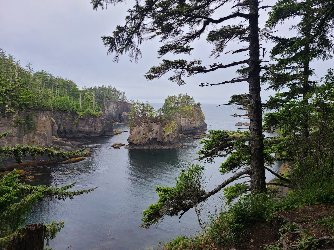
But eventually got to Cape Flattery, which is that "thumb" of Washington State.
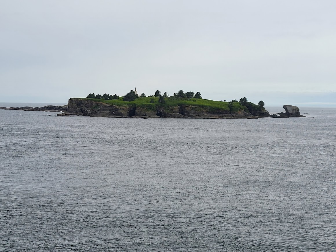
I guess that island is the real end of the US.
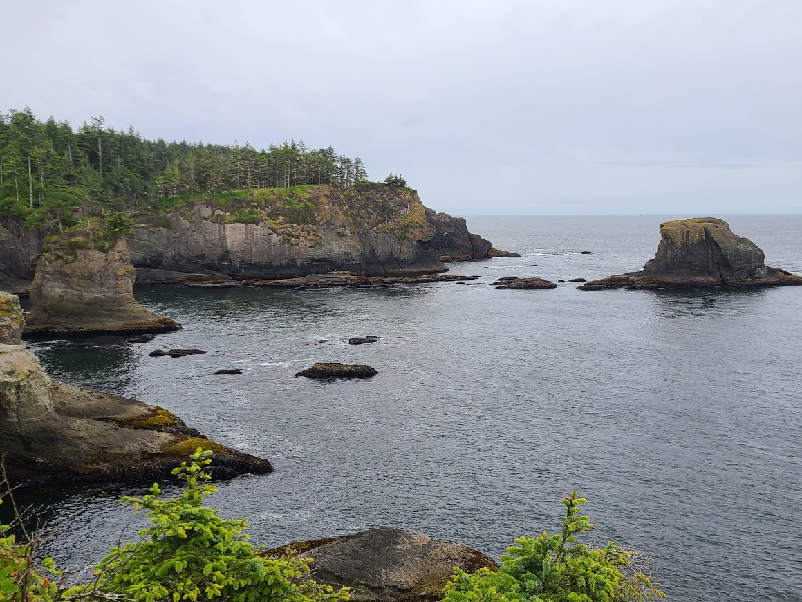
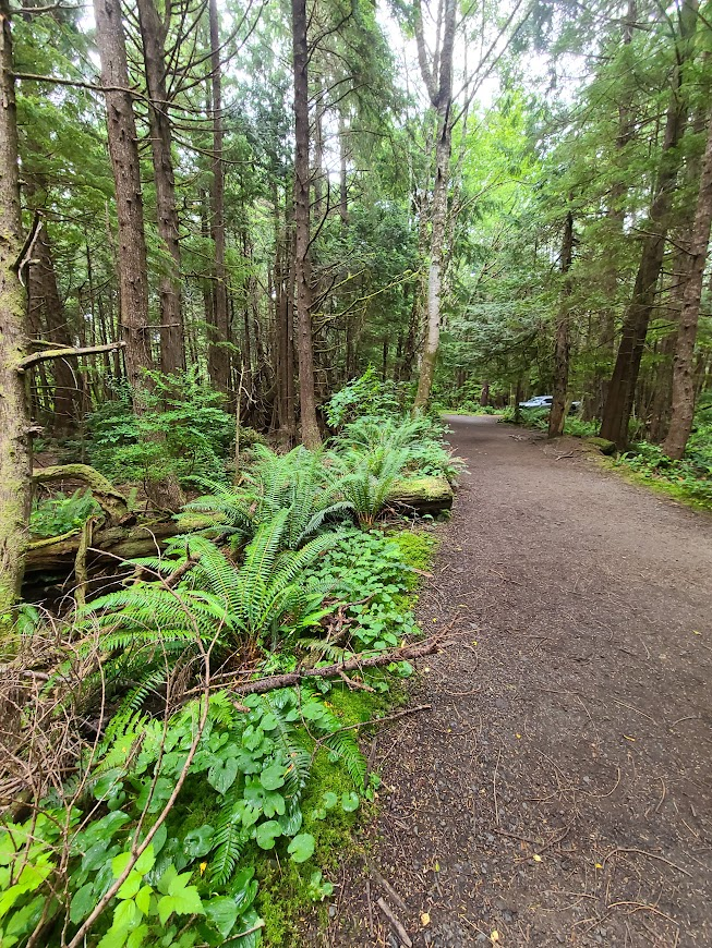
The trail there and back from parking was through a rainforest, complete with ferns.
On the way out, raining more. Cruised along, found a hotel room in Forks, WA. Well, really a hotel trailer. Apparently, the owners of the motel rent out their trailer when they're not out camping. It's working out so far, though I had trouble figuring out Direct TV's connection, It's OK, I don't need to have TV.
So I put my camera backpack in the passenger footwell, as always.
Never once have I been compelled to pull it out. Phone is doing just fine, probably better. One thing I'm having trouble with is seeing the image on the screen when framing the shot. Often there is too much glare to see the image correctly.
And my phone is super-old. I can't imagine how good they are now.
Oh yeah. The town I stopped in to get out of the rain is Forks, WA.
Apparently something to do with Twilight, there's that **** all over the place.
Sigh.
The trailer was a fun new experience. Didn't sleep well and was up early, but that's not their fault. Just couldn't get back to sleep after waking up early.
Due to this, and the tentpole incident, I've kinda decided that it's time to get home. Not going to plow through, but going to get some miles on, I think. That being said, I'm still gonna see some stuff along the way.
Headed up the road to the west visitor center, for the HOH rain forest. Figured I could learn a little about the rain forest, and maybe it would quit raining.
Got up there, the center didn't open for another 1:20. Didn't want to hang out in the cold rain for that long. Went a little bit down a couple paths, but wasn't in the mood.
Giant trees there.
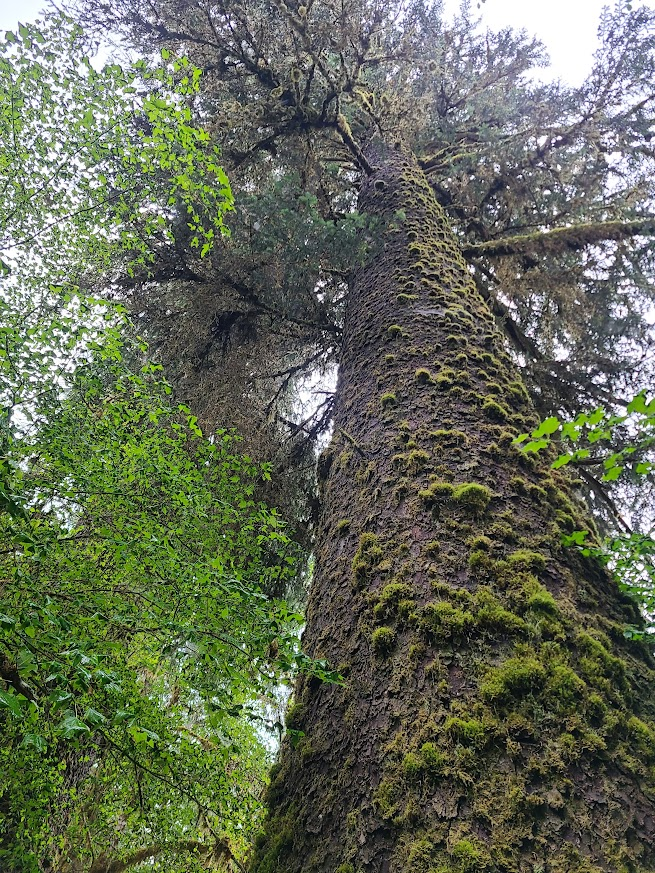
and lots of moss
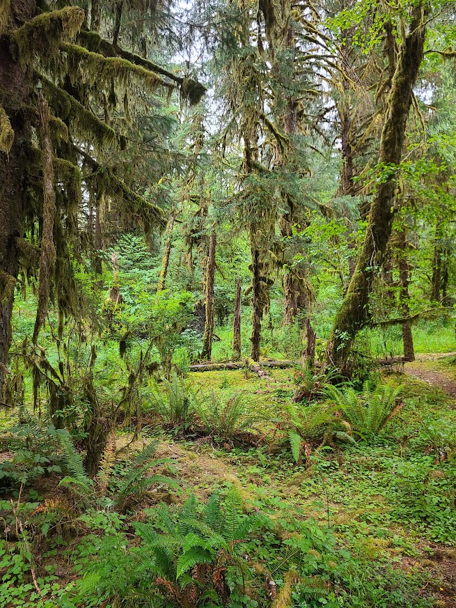
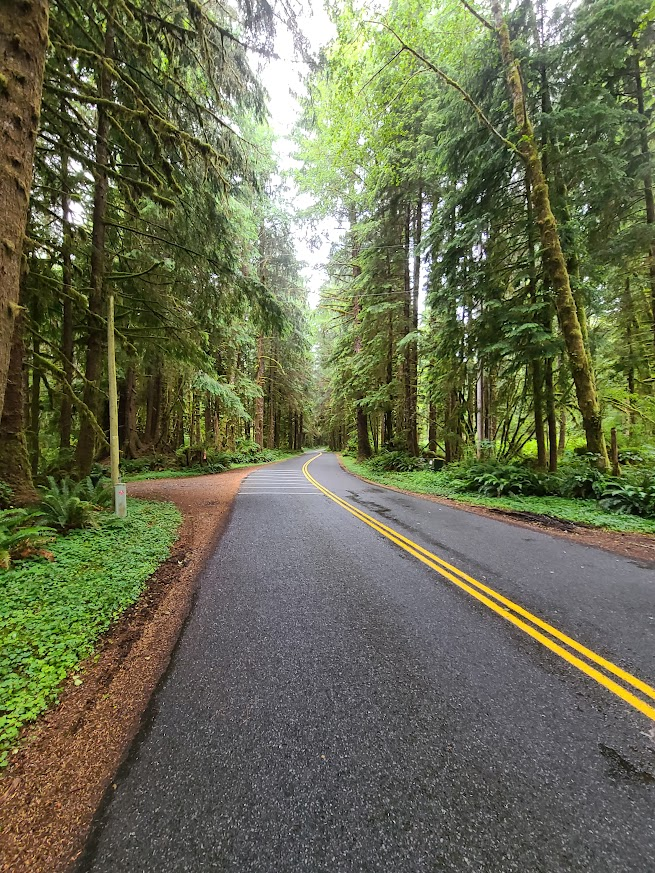
Sometimes the forest closed in on the road
Eventually the road ran along the ocean for a while.
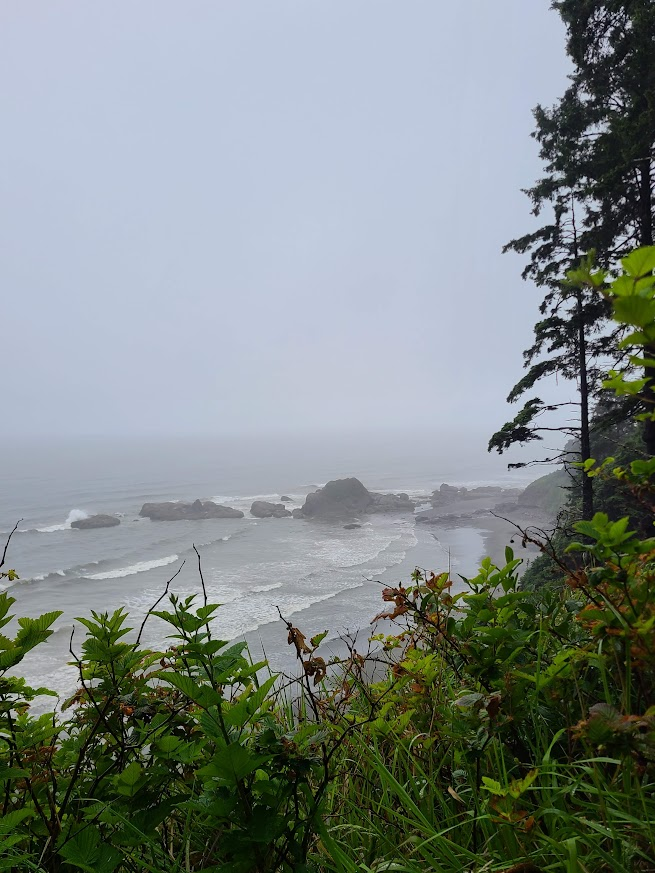
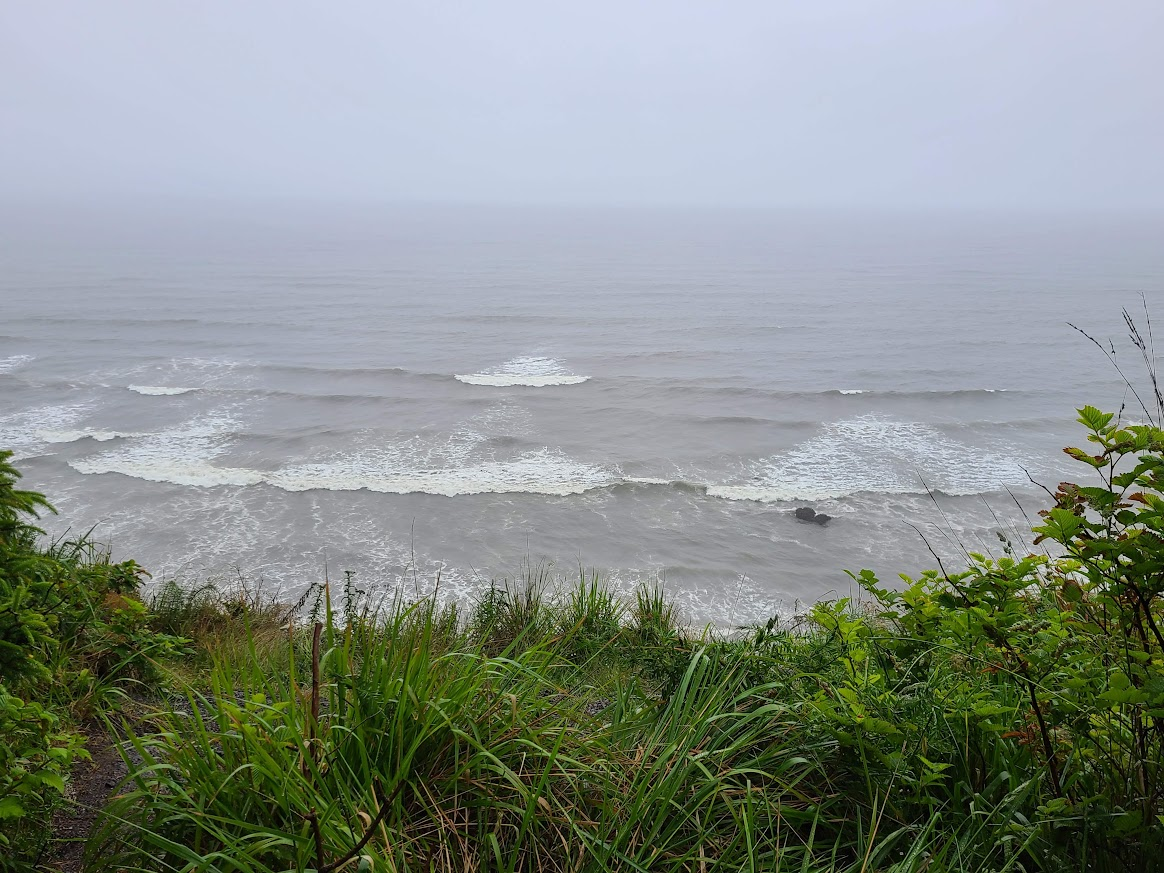
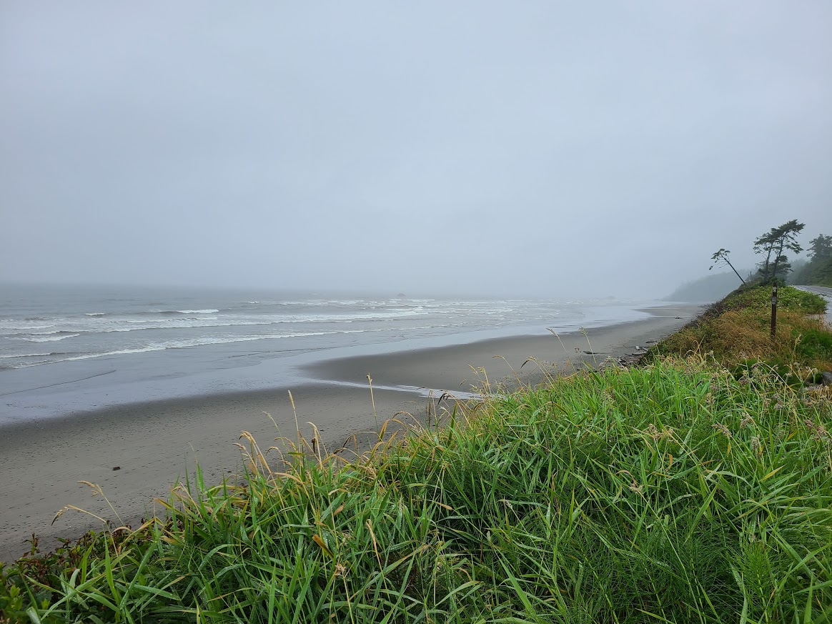
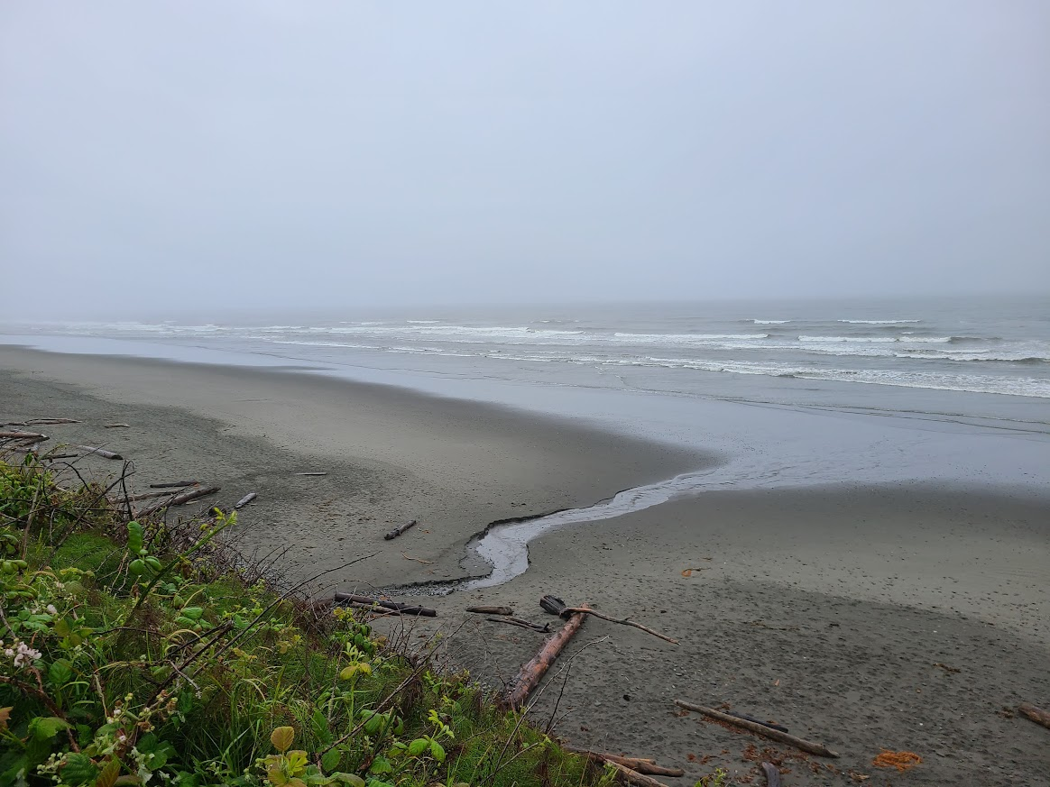
Pretty crummy out most of the day. Stopped in a small town for my usual picnic lunch (it had quit raining, but was still cool and cloudy). and ground along.
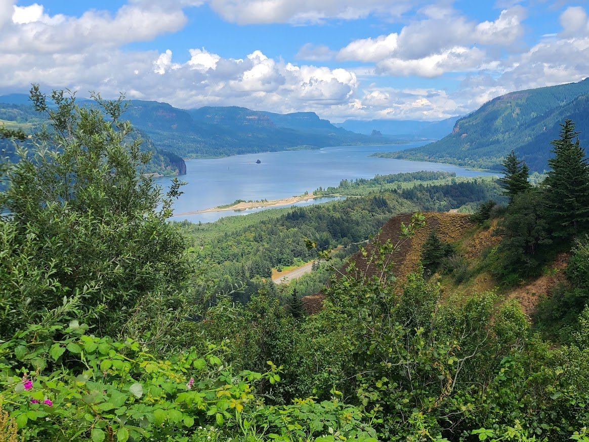
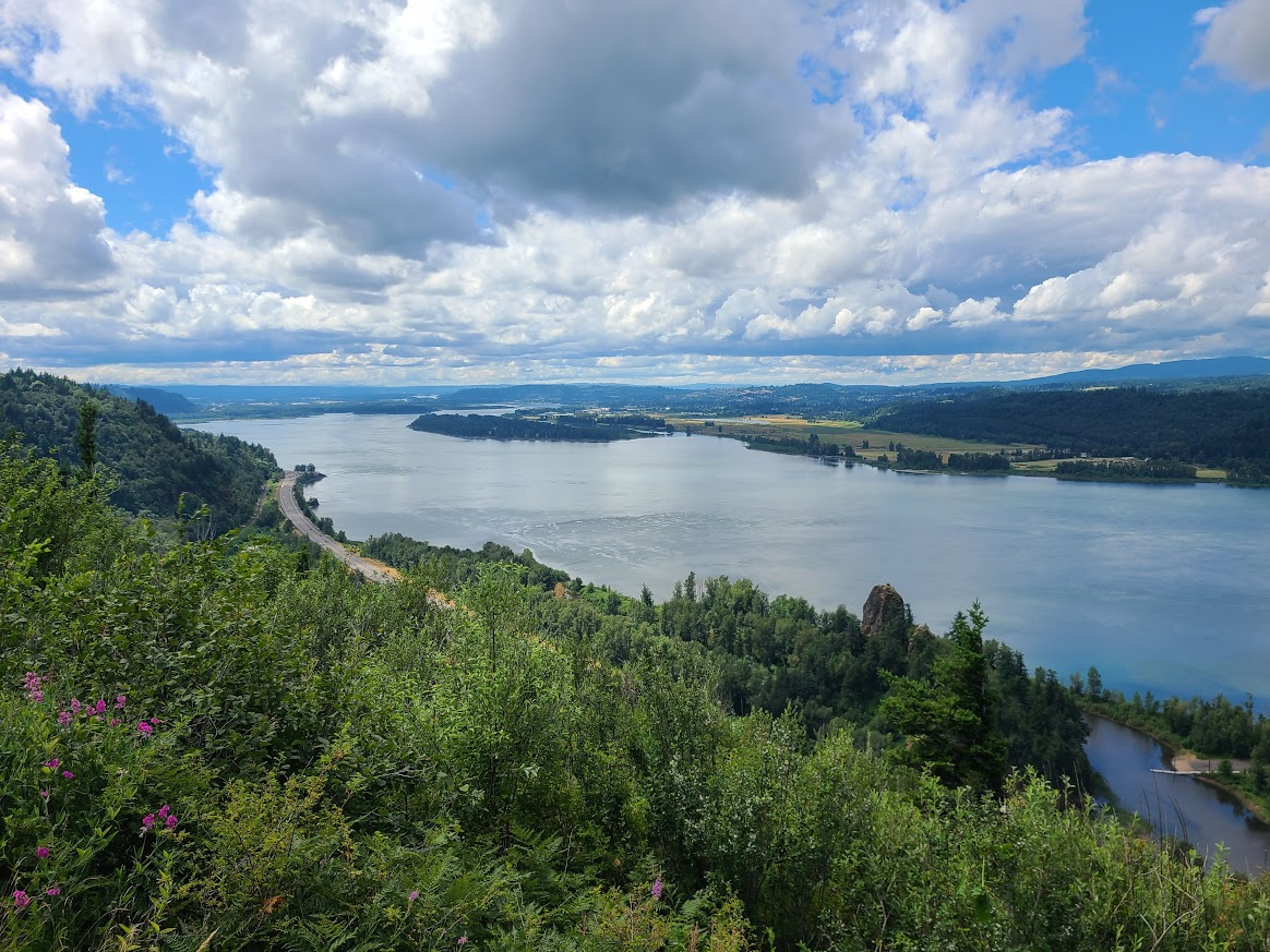
Crossed over into Oregon and started heading down I 84. It was clearing a little, and turned into a nice afternoon, so I went down the Columbia River Gorge Scenic Drive.
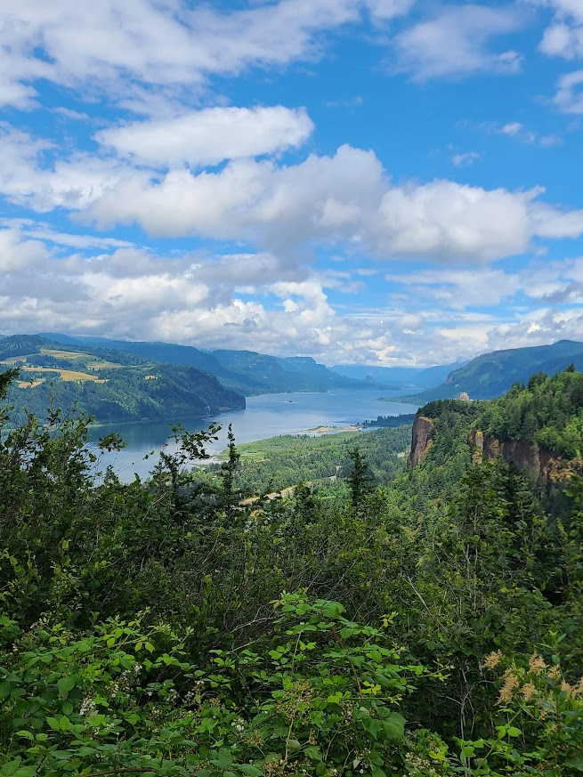
It is.
There are a few stops along the way with various scenes. One of which is Vista House.
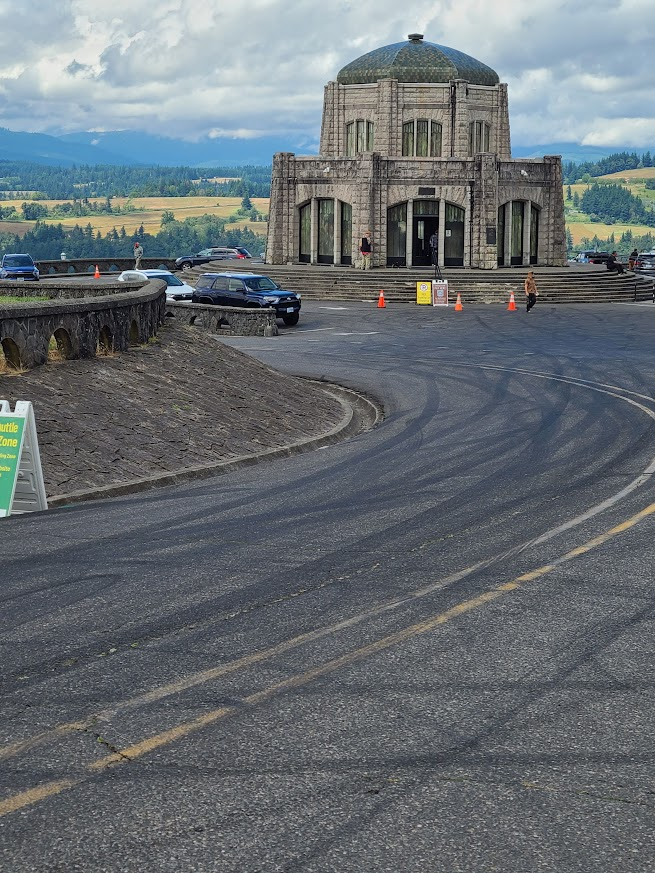
Kinda reminds me of the Sleeper House in Jefferson County, where it commands a view and is on top of a bluff. Not stylistically, of course.
They have QR codes to pay whatever the fee is. I went in and talked with the volunteer, pointing out I don't have a data plan, so I'd like to pay directly. Apparently they don't have any option other than the QR, and don't provide a hotspot.
He said I should be OK to skip it. I said that was what I was going to do, but maybe they could provide a hotspot or a way to pay directly at the info desk as well.
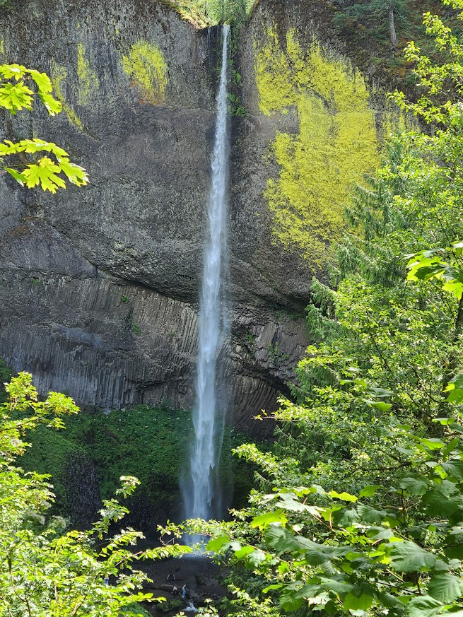
Latourell Falls
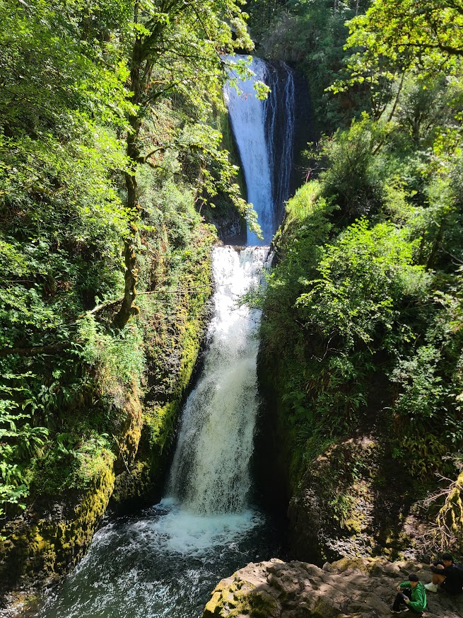
Bridal Veil Falls
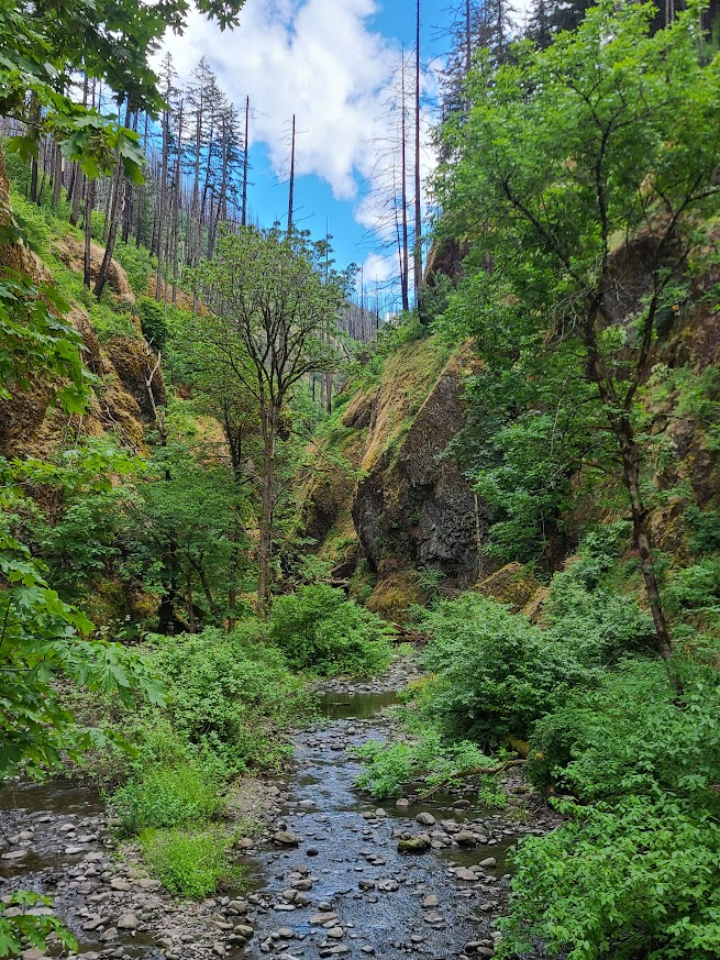
Oneota Gorge
Horsetail Falls
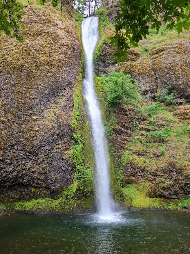
They're working on the parking lot near Multnomah Falls (the star of the show), so I had to miss that and one other. I was getting pretty hungry by this time, so figured I'd go down the road a little, find something to eat and get a place to stay.
Immediately open getting on I 84, traffic is jammed. There's a single lane ahead, so we're poking up to that. Eventually got through, pulled off in Cascade Locks, and pulled into a motel. Asked rate, guy said we could negotiate to get me to say yes. Still expensive, but knocked $25 off.
By staying so close, the plan is go back tomorrow morning, when there (hopefully) will be less traffic. We'll see.
Walked down the street to find something to eat, and noticed a brewery about four blocks down on my side, and a block down across the street. I bet I'll find out if they make good beer tonight.
Have the car gassed up, so no matter which direction I go tomorrow, I'm ready to travel.
The worst part of this site being ruled by terrorists for a few days was missing out on this TR. We ran a lot of the same WA/OR route on our one trip out there about 20 years ago. Some of the pics are eerily similar. We spent exactly 0 nights in tents though.
Looks like a fun trip--except for the tent parts.
It'll be fine. Worst case, f the weather is nice, I can duct-tape the segments together for an overnight.
Saw a sign for outdoor gear last night, but they didn't have replacement. Had a re-stringing kit, but it looked like something I didn't want to take on, on the road.
There's a very good local-chain outdoor/hardware/etc store right on the main corner by house. If I haven't found a solution by then, easy-peasy to walk up and get some help from them. Or a new tent.
Opened the door, and saw it was raining. Rats. Well, maybe it will clear up by the time I get to the falls.
Had my last two breakfast burritos while packing up, then out the door. Still rainy when I got there, but not too hard. First up was Wakeena Falls.
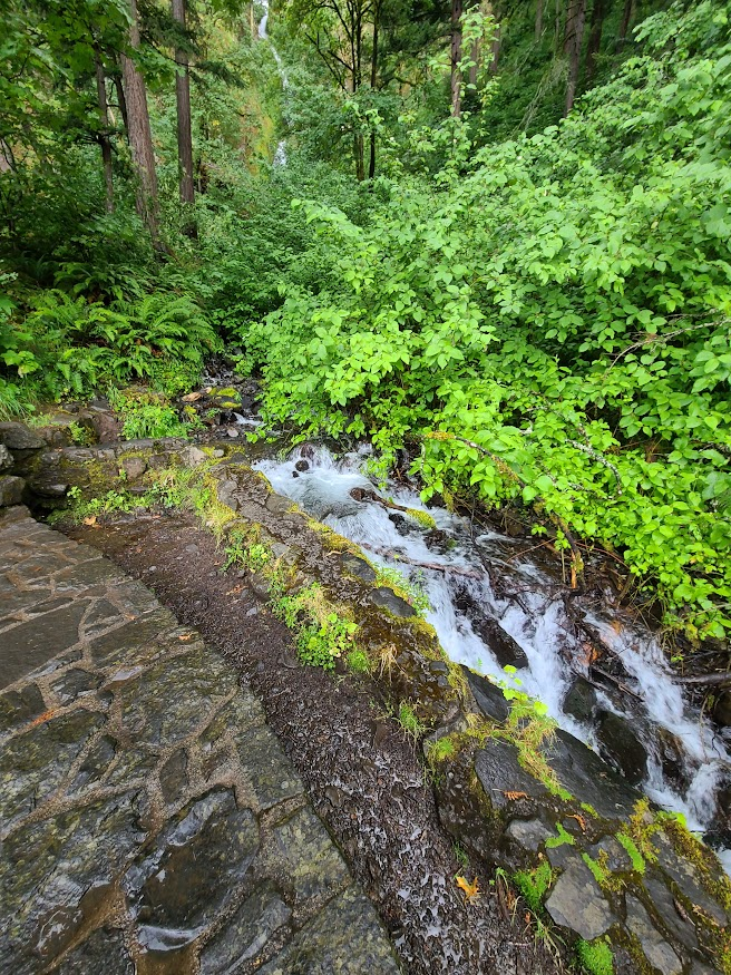
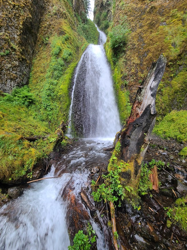
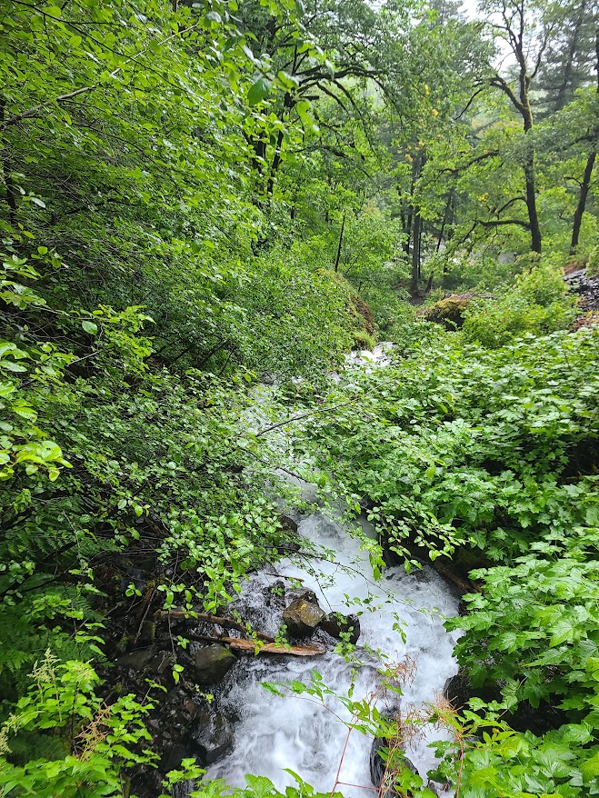
There's a paid lot by Multnomah Falls, or I can take the .5 mile in the rain. Since I'm cheap, and needed a walk, trundled over through the forest.
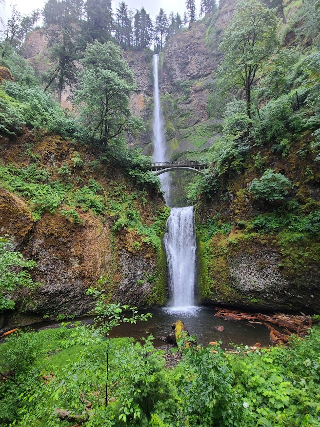
Took the trail up to the bridge.
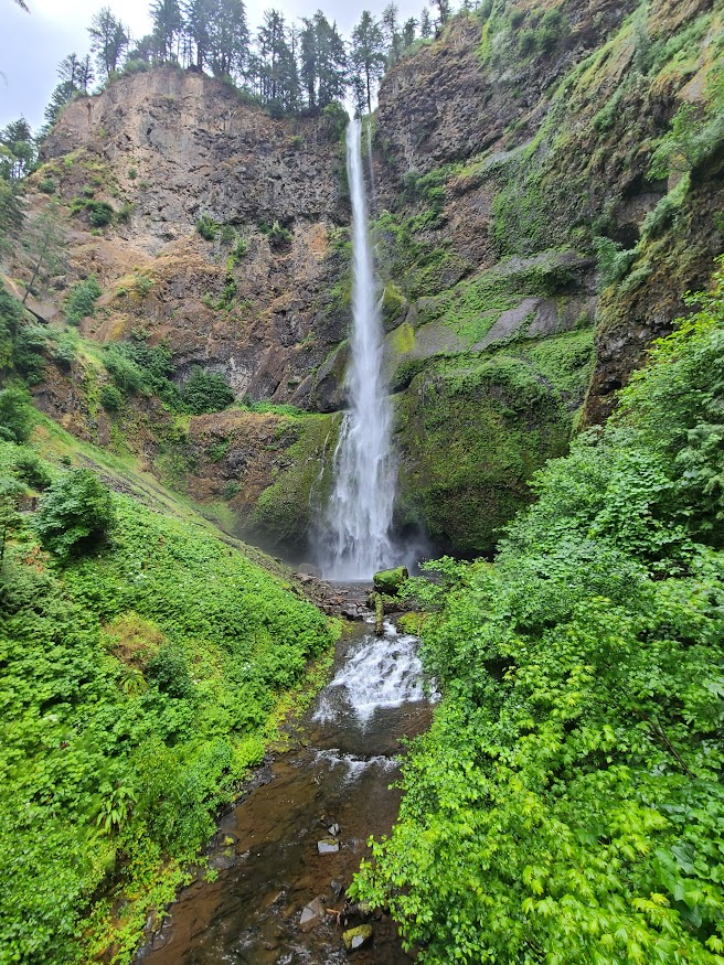
The trail continues on to the top, but I've never seen much value in seeing a waterfall from above. Took a picture of the lower falls from the bridge instead.
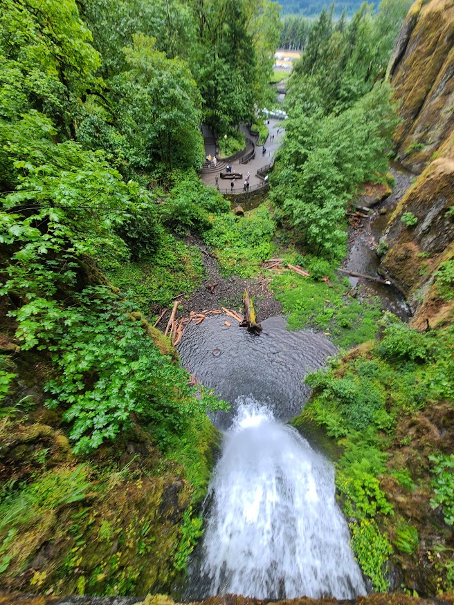
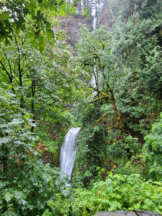
Back east. Decided to go over to Washington, figuring the two-laner would give more opportunity for scenery instead of I 84. The toll bridge guy couldn't use my card, as his reader only uses the stripe not the chip, and it's worn. Well, you've identified the problem... Paid cash and moved on.
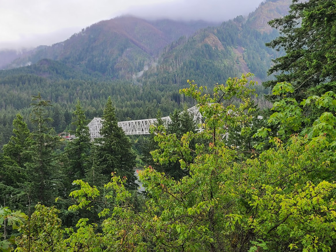
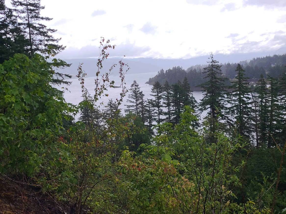
Drove along, and there were surprisingly few pullouts. Turns out, the railroad runs right along the bank, then the road right next to it. But there were a few spots.
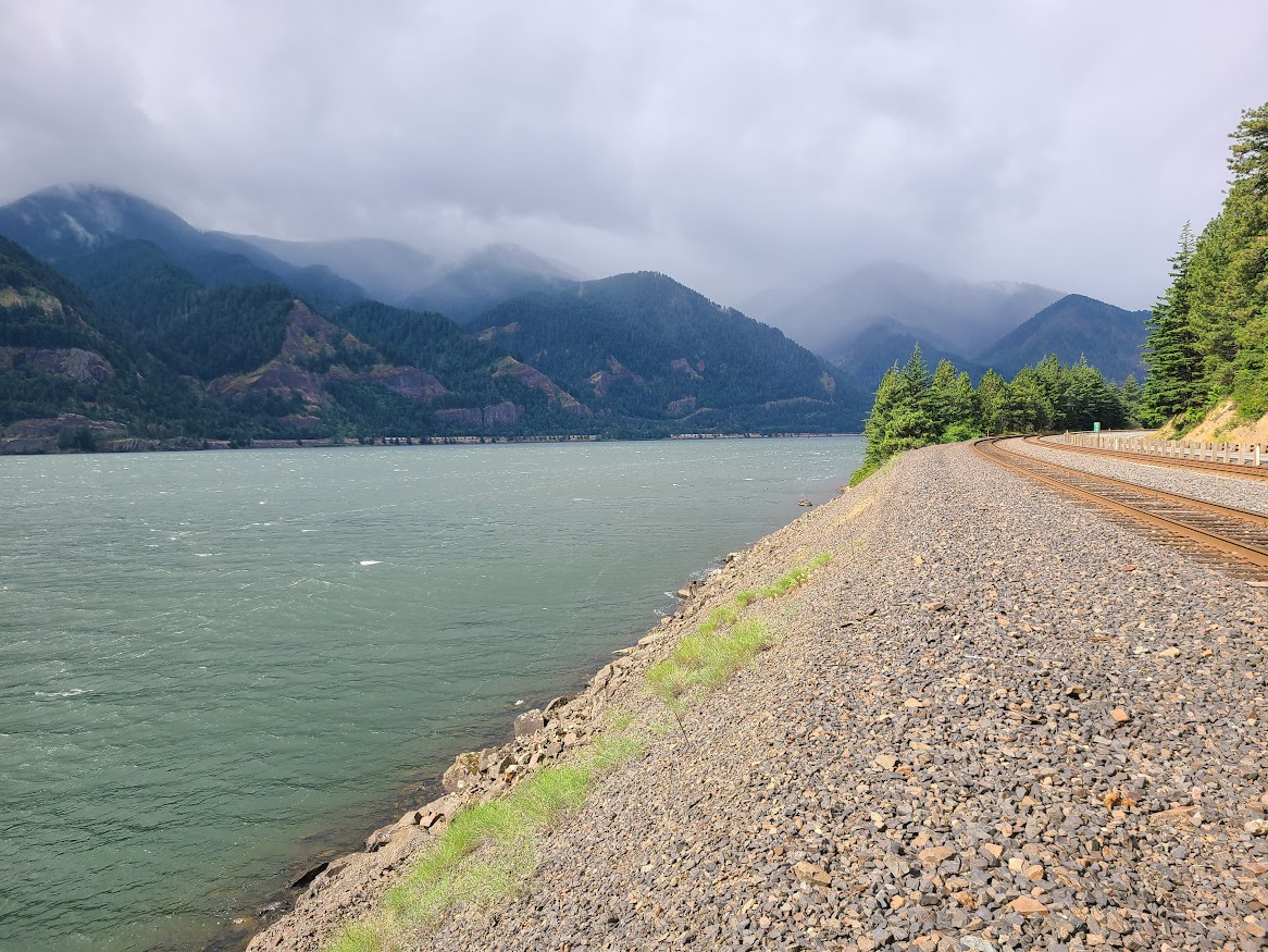
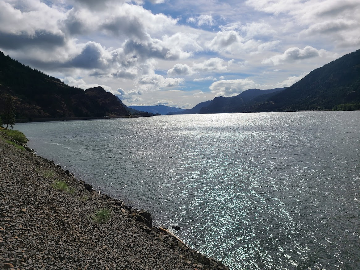
The rain and clouds broke some, but it was really windy all along the way.
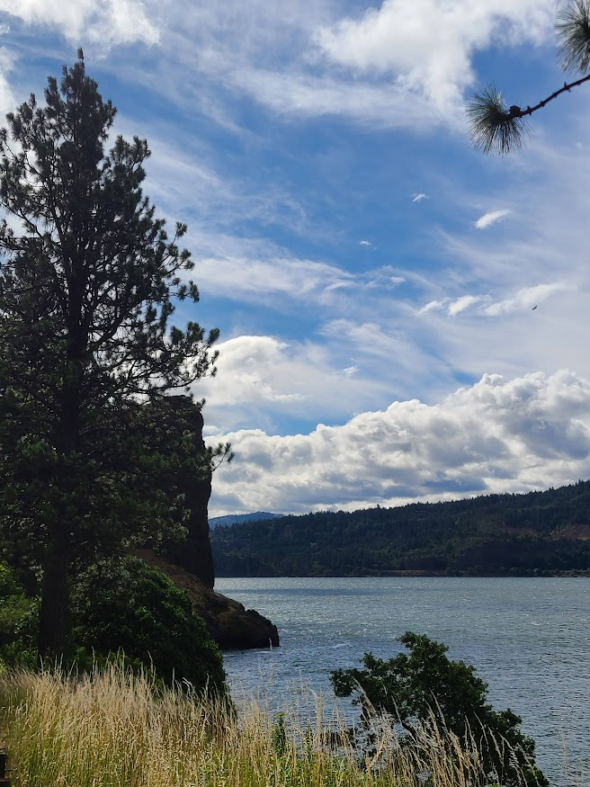
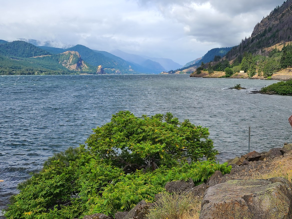
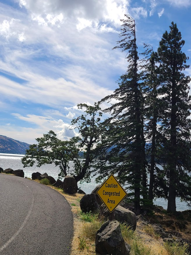
At some point, I was trying to back into a spot, and heard a grinding noise. Crap. Fortunately, just barely scraped the back up light plastic and the fender above that on the guardrail.
As Jeremy Clarkson used to say, "that'll buff right out." Pretty sure I have some No. 7 rubbing compound in the garage.
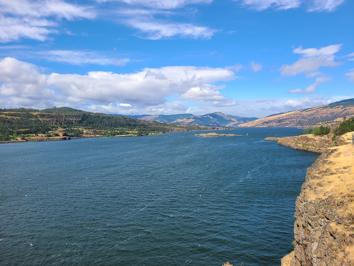
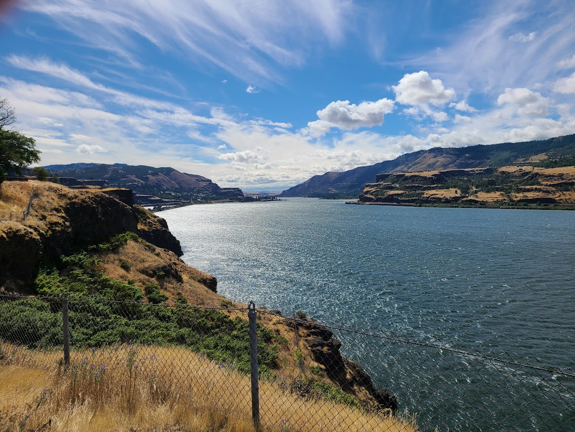
Went a ways upstream, then decided to get back on the interstate. Crossed back into Oregon at The Dalles.
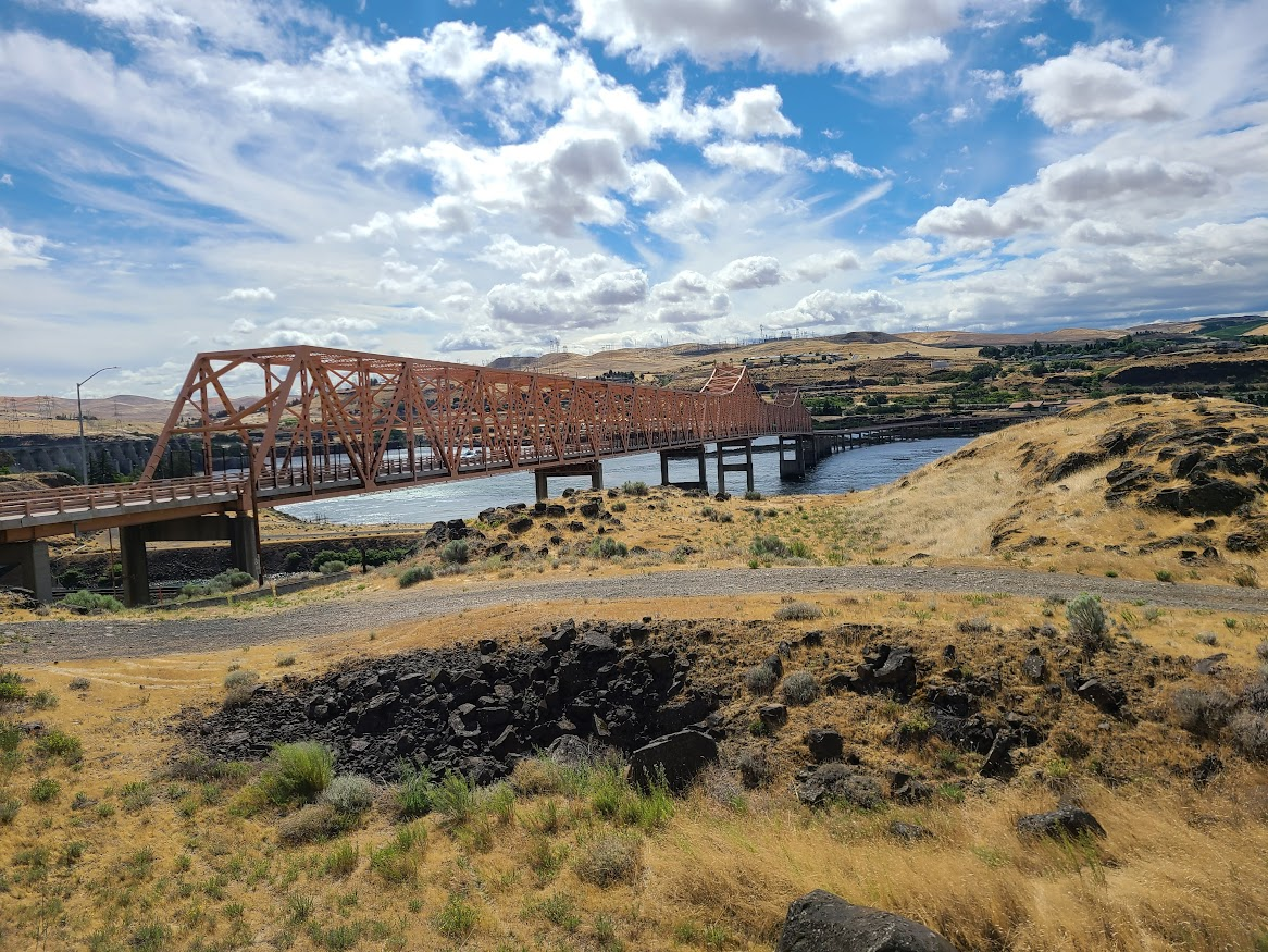
Now the landscape changed to more like high desert grassland. Pretty volcanic, rocky soil.
Went a ways, stopped for lunch. Saw Wild Horse Pass casino out in the middle of nowhere, and the gas station was cheaper than most I've seen. Went in, intending to play some cash for an hour or two. Unfortunately, all three tables were in play for a tournament. Got some gas and hopped back on the highway.
I mean, the middle of nowhere between Pendleton and La Grande. Nothing of size for 20 miles in either direction. Just after leaving the casino, I 84 goes up over some mountains. There's an overlook up there.
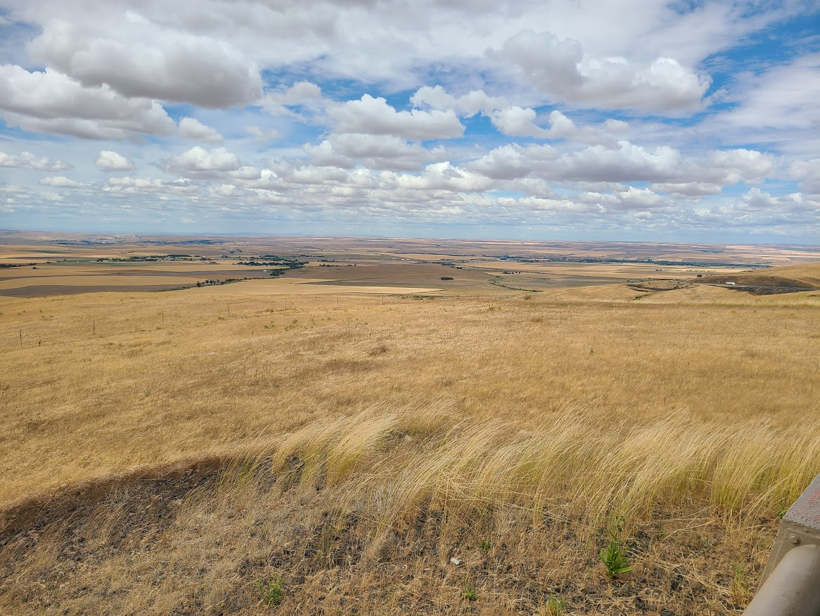
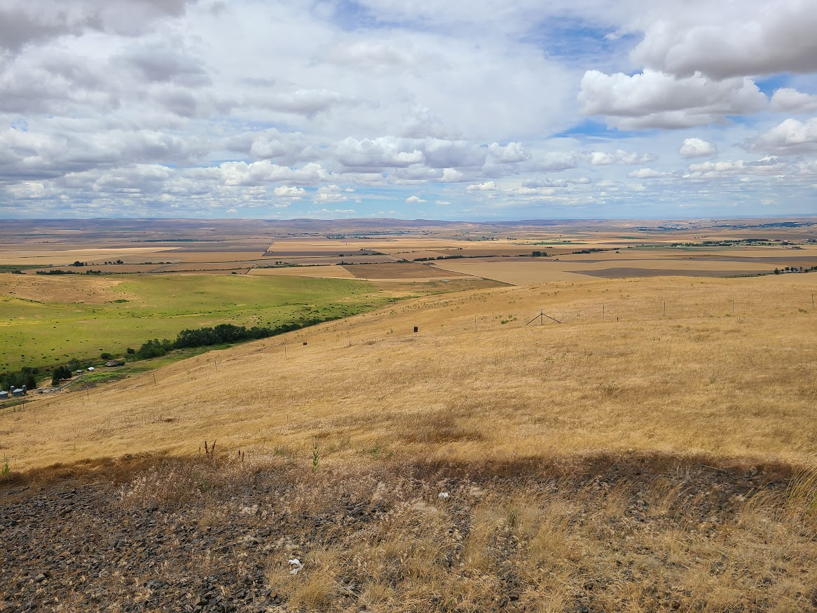
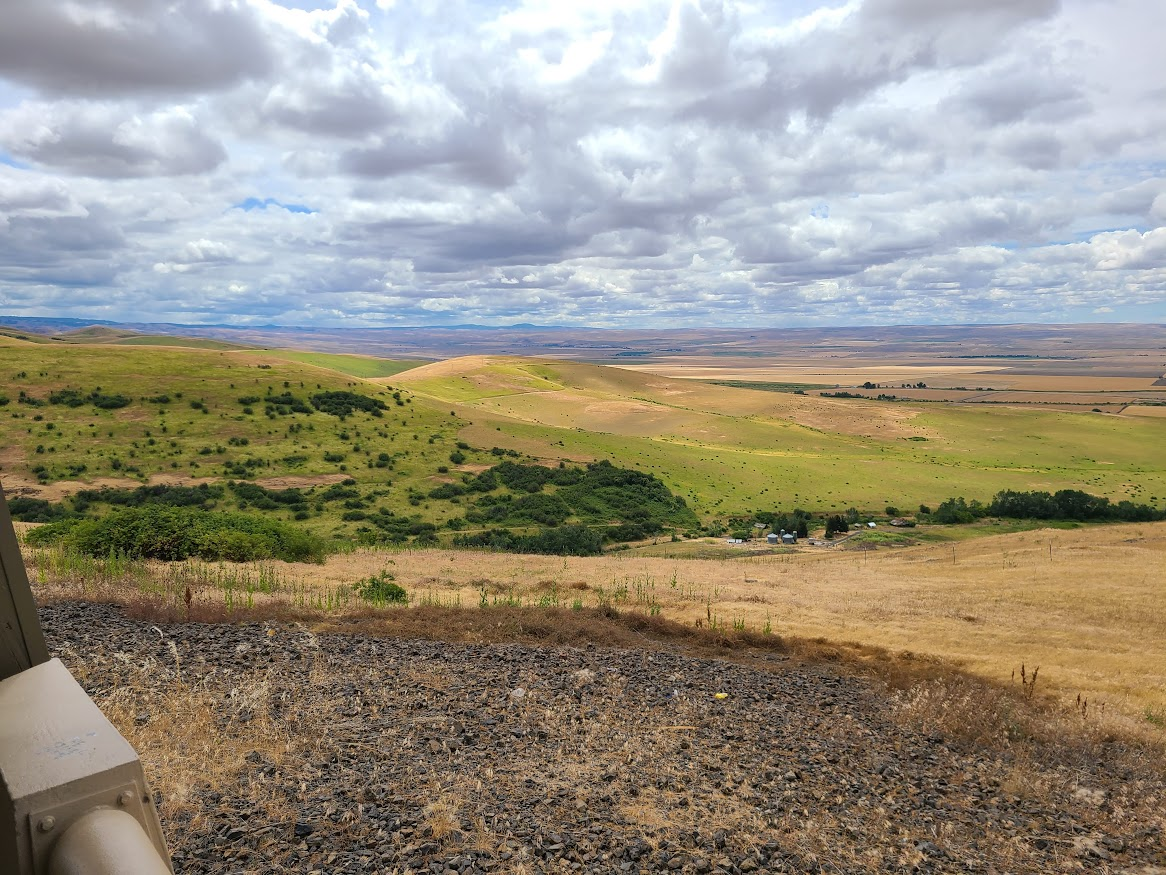
The casino is somewhere in the first picture. I could see it IRL, but can't find it now.
Taking Red's generally sage advice, I got back on the back roads to go through the Wallowa mountains. Here's Mt. Emily, which (I think) it the bit that I 84 had to go up and over.
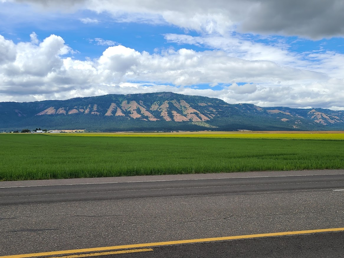
I liked the patchwork of colors on this hill, but the photo doesn't really show it.
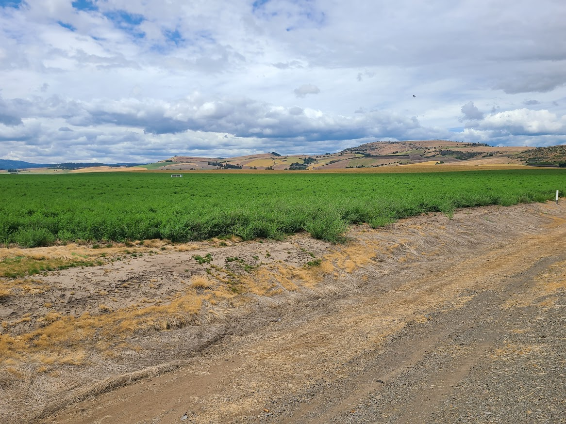
The light started working against me. Clouded up and got flat.
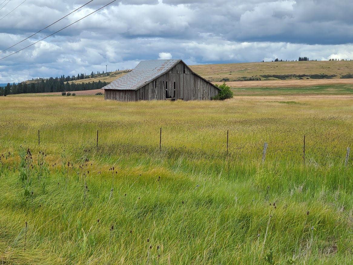
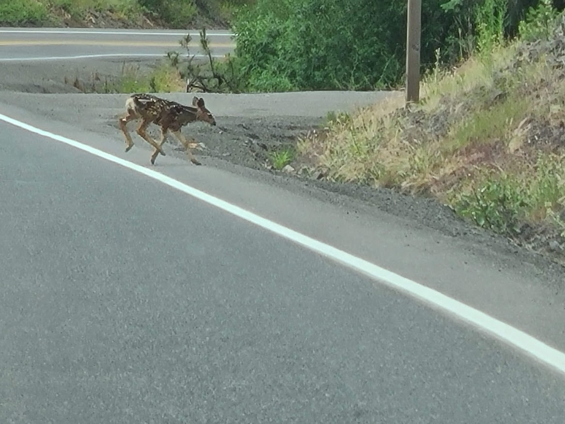
Came around a corner, and saw these guys.
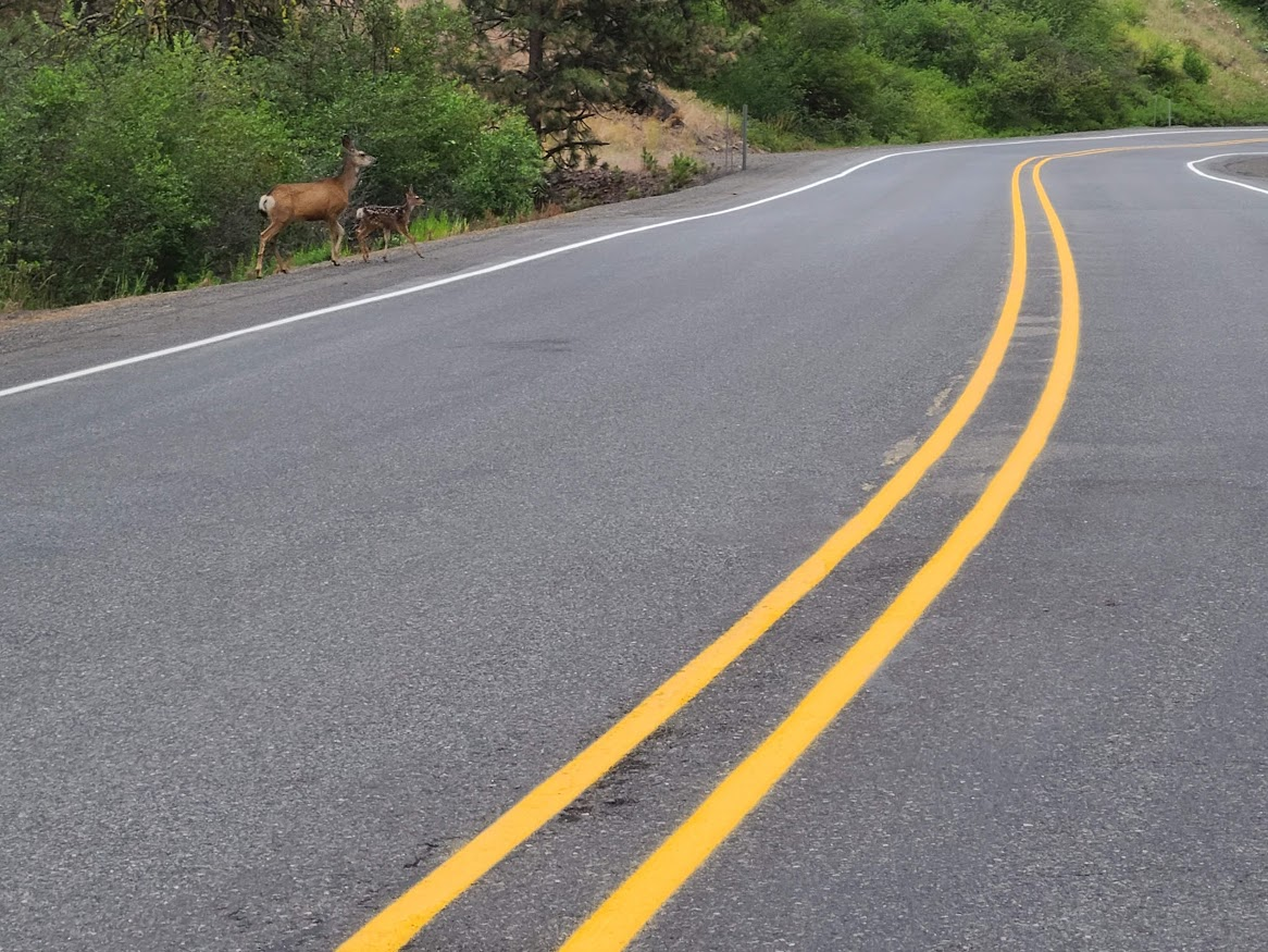
Had to get on the brakes a little bit, but not too bad. I'm pretty good about sticking close to the speed limit. I'm not in a hurry. Then, they scampered off across the road.
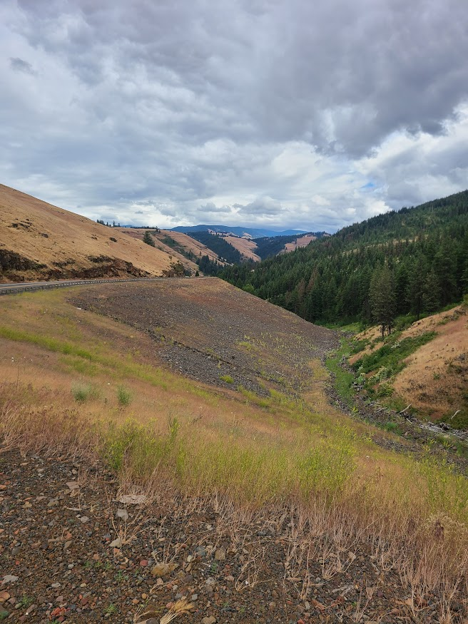
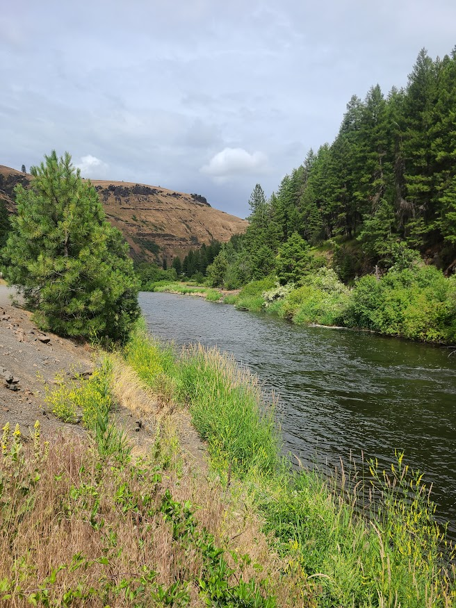
Then followed the Wallowa River. Ended the day in Enterprise, as it seemed like I was running out of towns to stay in. A bit early of a stop, but that's ok.
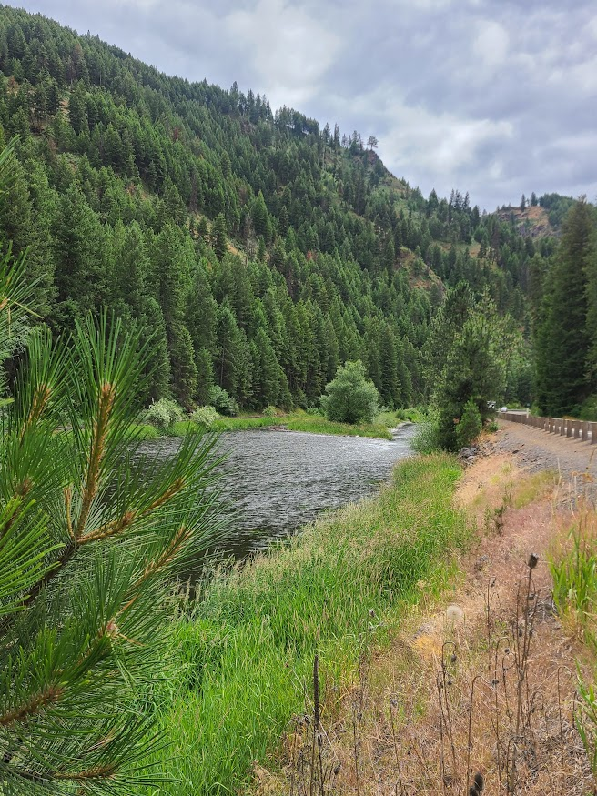
This little town has a brewery about a mile away. May walk over and have a beer, we'll see.
One thing I've forgotten. Leaving Mountain Home the other day, saw an icon on the dash I don't recall ever seeing before.
A white steering wheel. After a while, it turned green, and auto-steering was turned on.
Since I was in the middle of nowhere, on a straight road, and nobody else was around, I let the car drive.
It worked pretty well, though after a little bit, I got a warning to put my hands on the wheel.
It stayed on through the next afternoon. Not sure how I feel about it. On the one hand, it did a pretty good job keeping me in lane. But it felt weird, near-continuous micro-adjustments.
No idea how it got turned on, or why it's back off.

One thing I've forgotten. Leaving Mountain Home the other day, saw an icon on the dash I don't recall ever seeing before. A white steering wheel. After a while, it turned green, and auto-steering was turned on.Since I was in the middle of nowhere, on a straight road, and nobody else was around, I let the car drive.It worked pretty well, though after a little bit, I got
I think we can go ahead and assume you were hacked by a classroom full of Korean middle school girls as their science project.
I think we can go ahead and assume you were hacked by a classroom full of Korean middle school girls as their science project.
I always try to find myself in support of science.
Up early today. Cloudy cool, somewhat rainy morning. Started walking over to the place motel guy recommended for breakfast, saw they wouldn't open for longer than I cared to wait. Headed down to the next (and last) town down the road, and found a cafe.
First thing I noticed was several guys sitting around the big table having coffee. As more came in, they just grabbed a mug and poured themselves a coffee. Seems like this is the place locals go, must be good. It was pretty good, got a nice breakfast.
Went to head up the Hells Canyon, but missed the turn and ended up by Lake Wallowa just south of town.
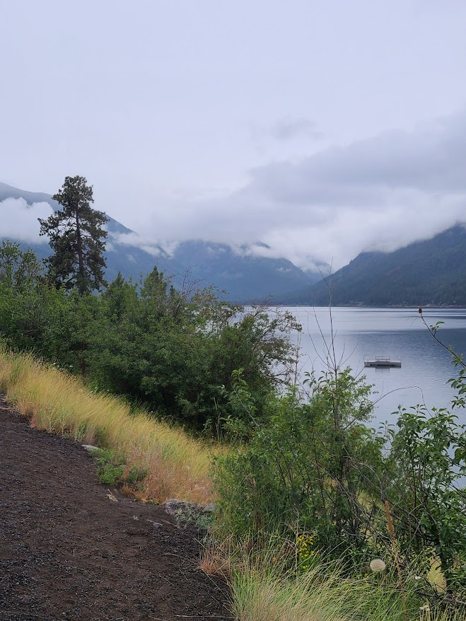
NBD, turned back into town, reconnected to interwebs at the cafe, and got my bearings. Started churning up the road. Soon, there was a warning that there's no gas beyond this sign. Well, probably not literally; I imagine there's a town somewhere. Just not if you're only going to Hells Canyon. I've got over half a tank, the Subie tells me that's good for ~400 miles, we're all set.
After a while, the road to the canyon splits off. Not sure if it's a forest road or what, but kinda narrow with no marking. Sometimes in pretty rough shape--going all over the road to avoid the bigger potholes. Fortunately, nobody was around; I believe I counted 6 other vehicles in the entire ~60 mile drive through.
Ground along, it's cloudy and icky. Did see this little cascade along the way.
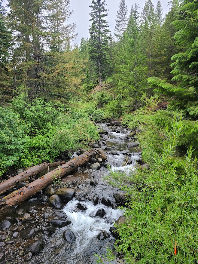
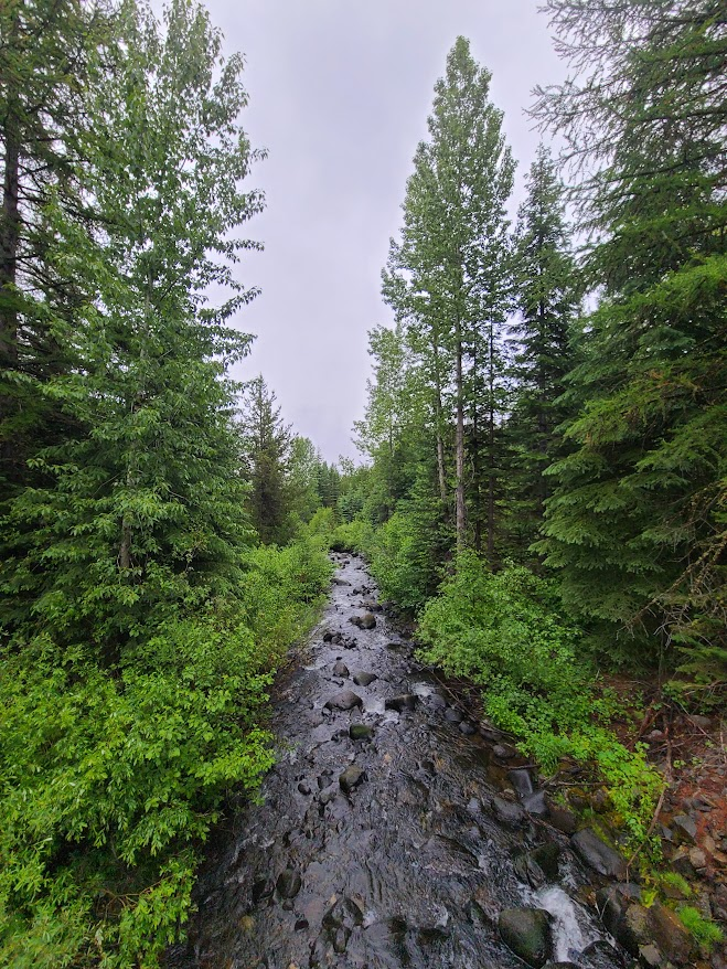
When getting back in the car, one of the vehicles I saw passed by. A U Haul. Not the huge truck, but the littler box truck. Still, not the sort of thing I'd take on this kind of road.
Finally got up to the canyon. This was right there.
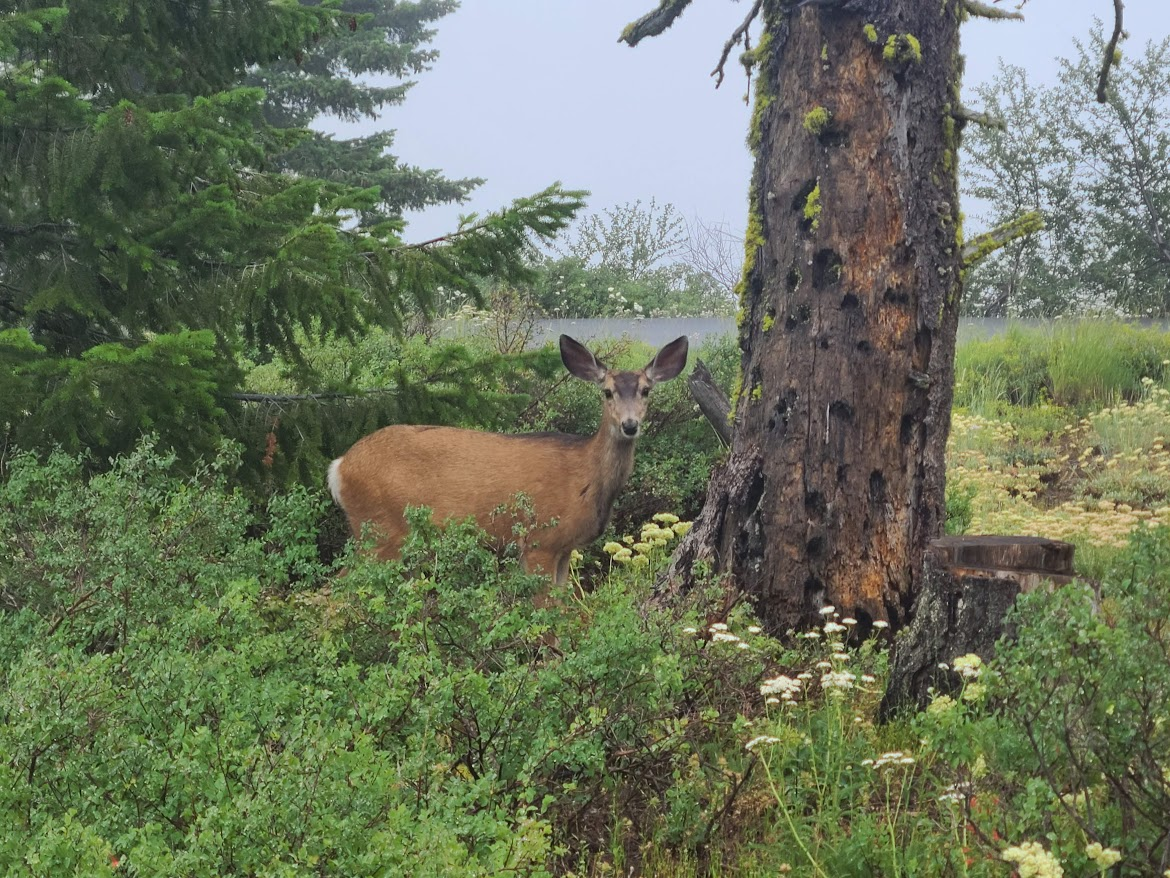
By the time I got out of the restroom, she was standing over the asphalt path leading to the view. I approached and made the click-click sound (but staying a reasonable distance away). She scampered off a little bit, and I got to see this.
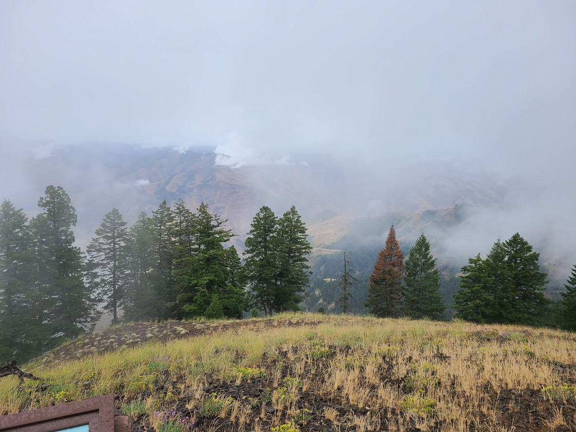
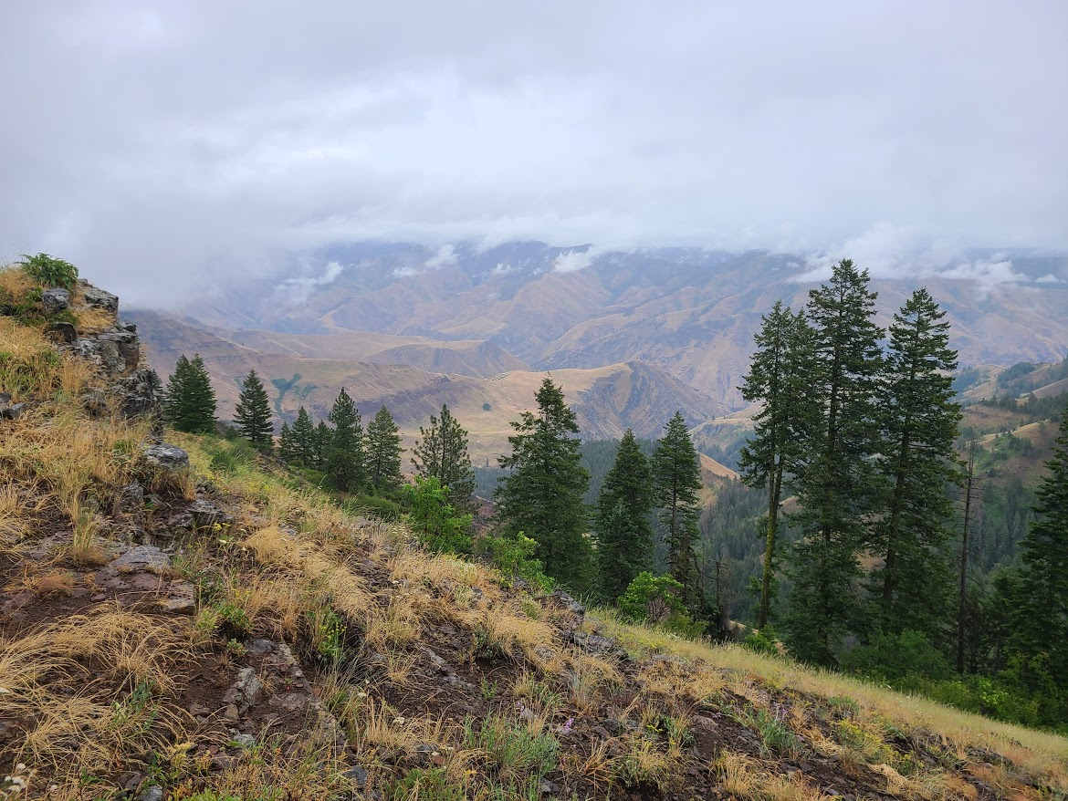
My bad fortune to get there on a bad viewing day. On the plus side, nobody else was up there, so it was peaceful. (P.S. if you're out in nature, enjoy it quietly). Did hear some wolves or coyotes across the canyon howling.
Coming back down, there was a pullout with a slightly better view
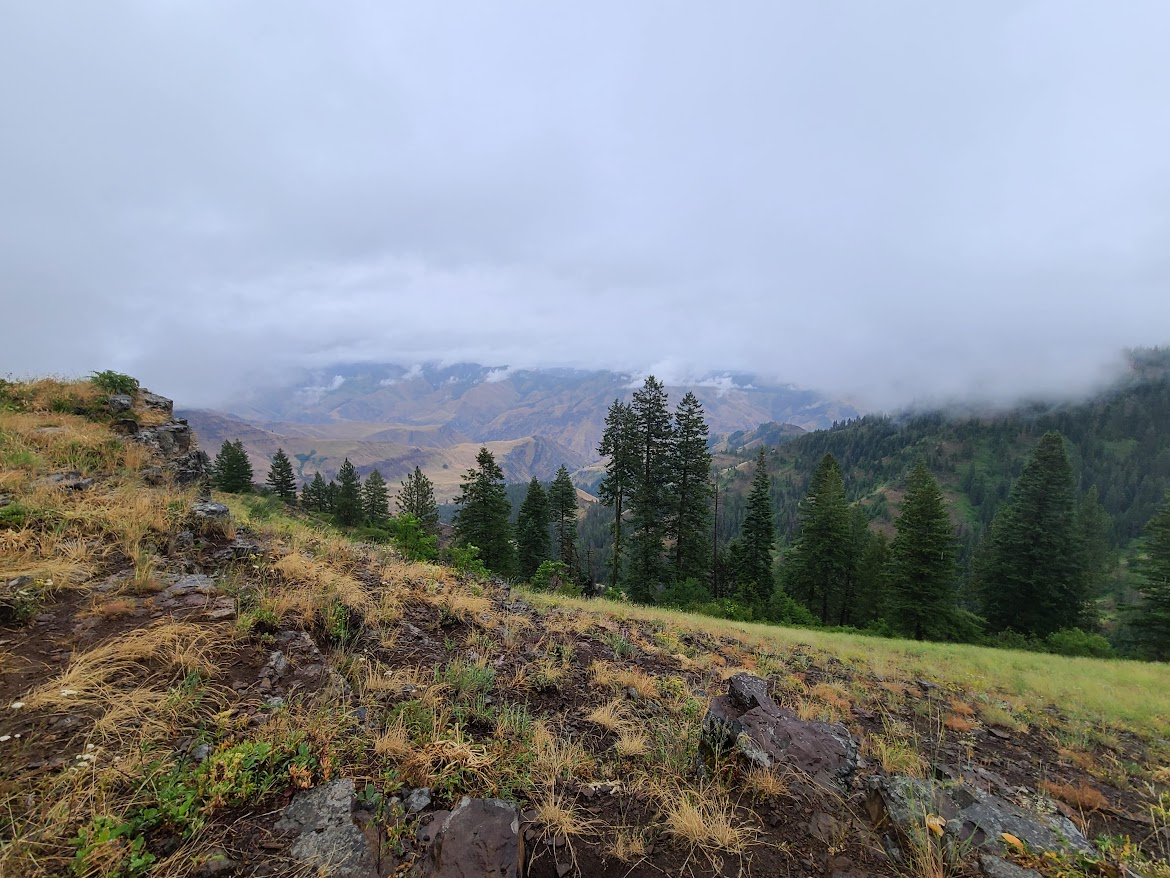
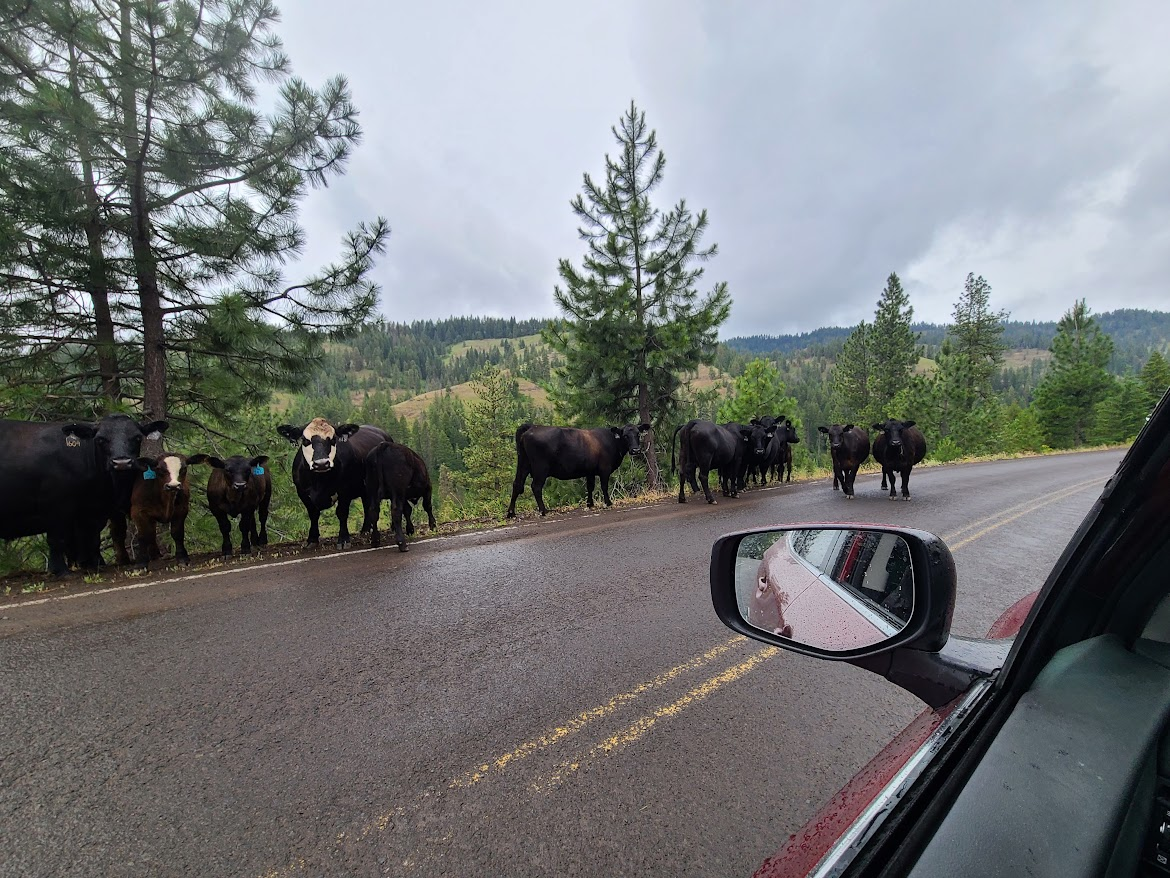
The road going down was in better shape. Found a herd.
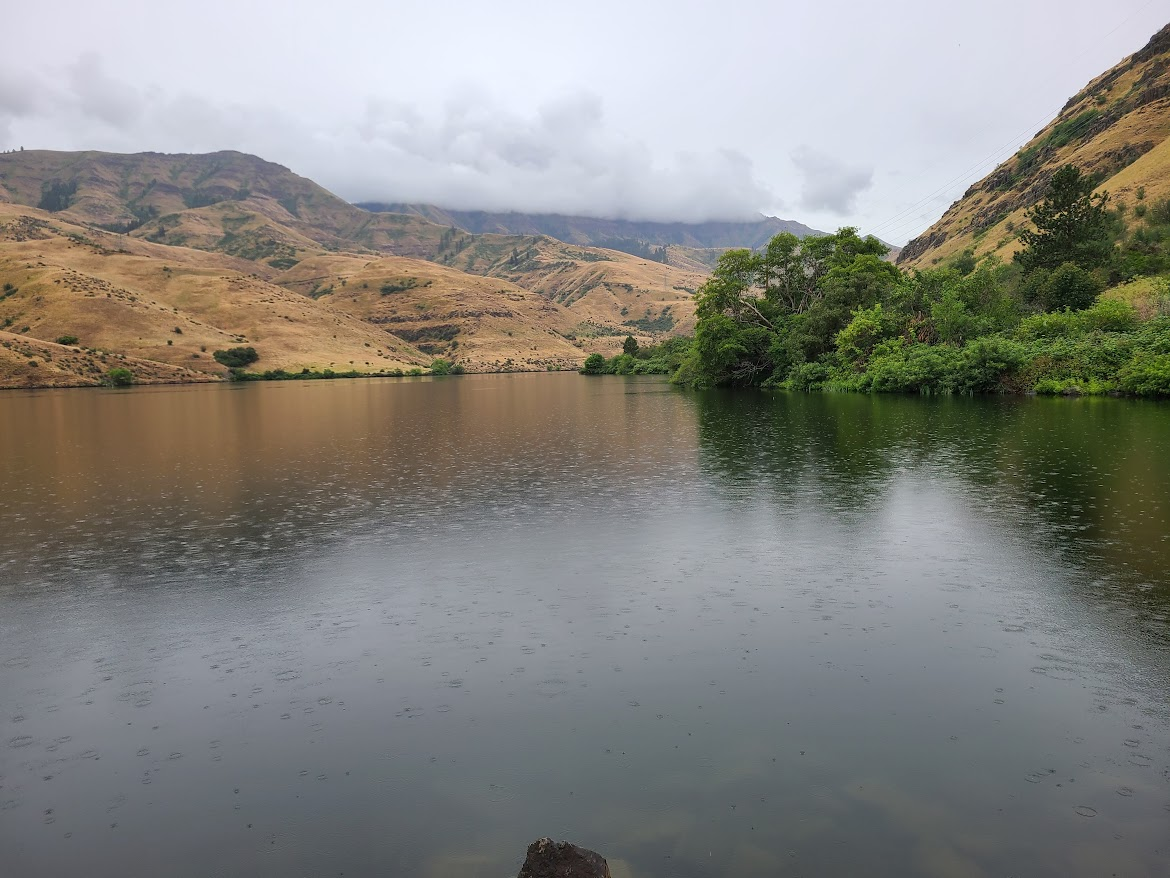
Eventually found the road back to Potatoland. The last little section had a sign warning that it was a private road, drive at your own risk. Saw Oxbow Lake.
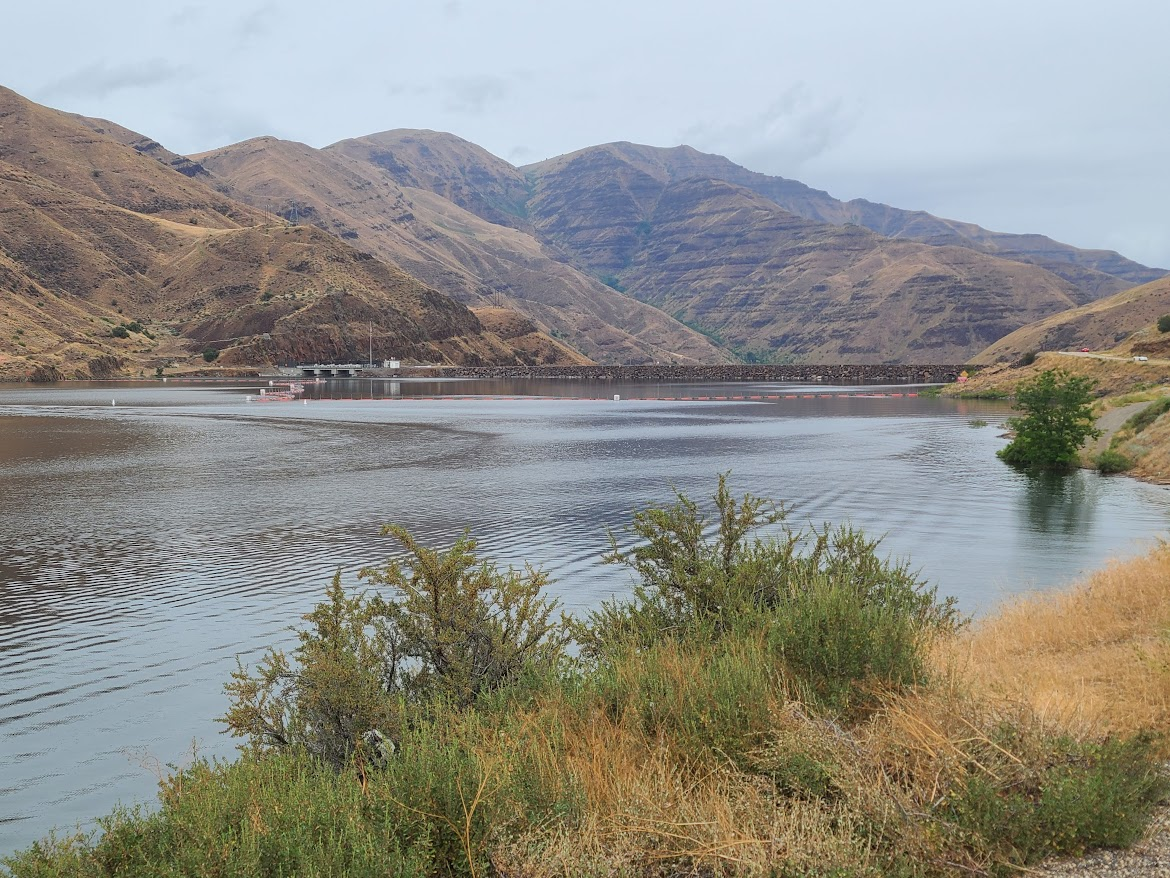
The road in question goes over this dam. I assume it's Idaho Power that owns the road. I wonder if the privacy warning means the police won't come in case of accident, and AAA will tell you that you're on your own if there's a breakdown.
Trundled along to Cambridge, about 28 miles inside Idaho. Stopped at a little town park for my lunch. Saw this.
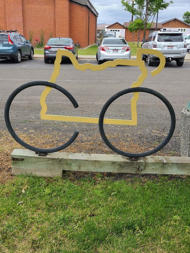
I wonder why a park in Idaho has a bike rack in the shape of Oregon.
Passing through town, saw this place.
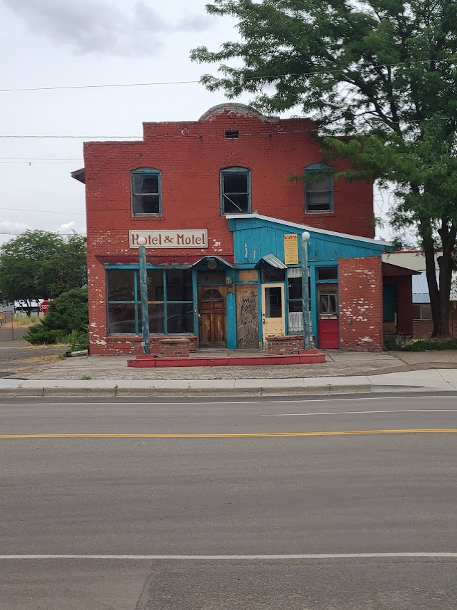
Too bad it was too early to stop for the night. Kinda drove along across Idaho, stopping in Twin Falls. Saw this.
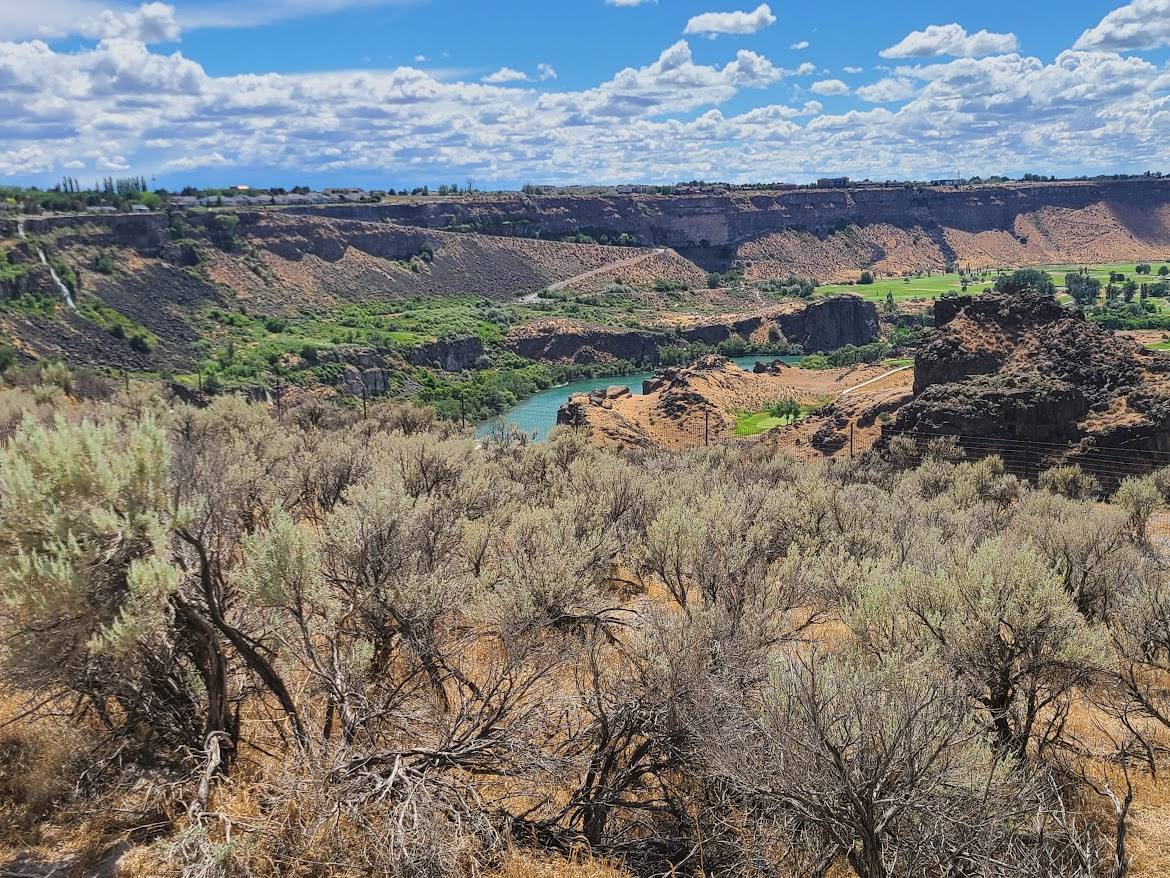
Not pictured: the giant flag they'd strung across the gorge. Cause, you know, you can't just enjoy nature on its own merits.
Went down to Shoshone Falls Park and saw them.
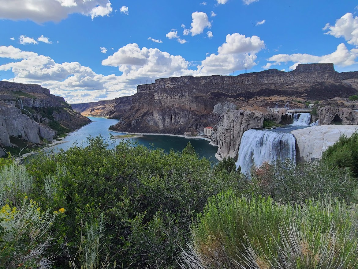
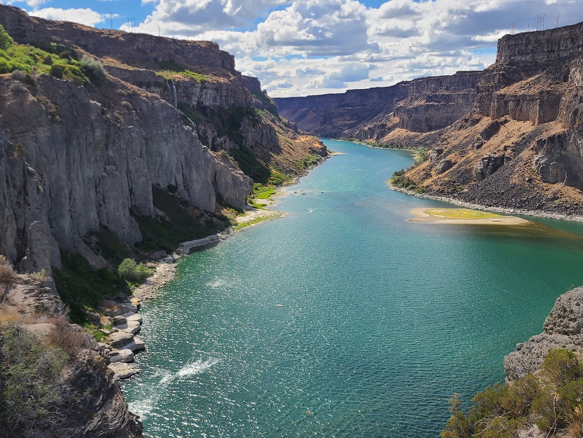
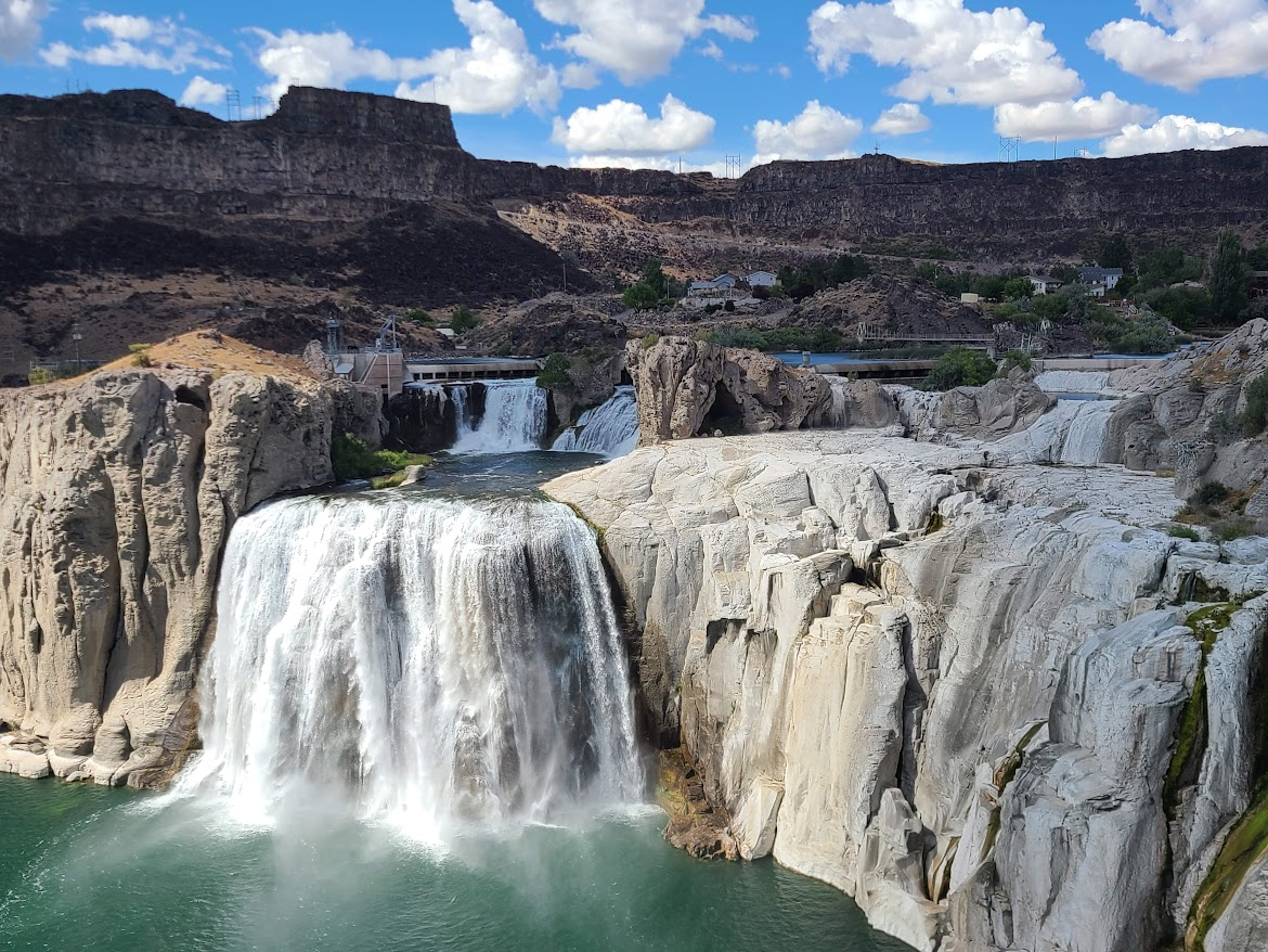
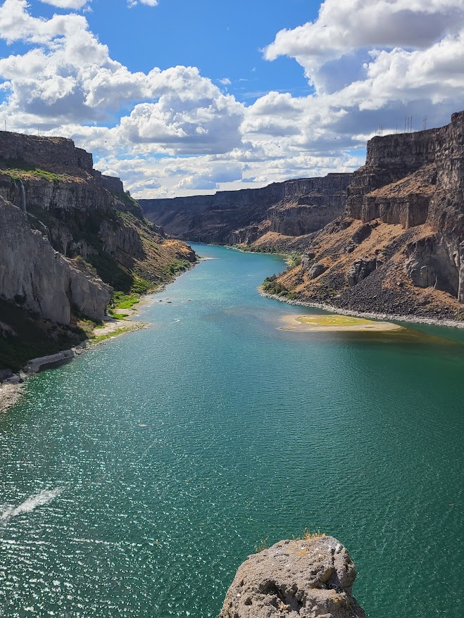
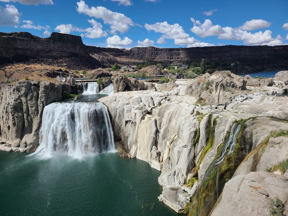
I guess one of the twins was a dam.
Since I was out of town, took the back roads to Burley ,passing by many fields of taters and barley (and a little corn). There was a big Coors elevator for the barley. Sigh. Well, I guess it's better than making bread out of it.
At least the sun came out, but the wind (of course) picked up.
Anyway, in for the night at a place in Burley. Not sure what tomorrow's route will be; straight(ish) home or take a detour. See how I feel in the morning.
I know it's only June but did you have your moose tags for the early season?
Passing through town, saw this place.
Too bad it was too early to stop for the night. Kinda drove along across Idaho, stopping in Twin Falls. Saw this.
Love this. Here's where I pull over and grab my camera. I really admire photogs who can shoot these old buildings, but I am not among them.
Nice pics. We spent three days traveling through Idaho several years ago and thought we had seen most of it. Nope. I guess not. But we did love what we saw of it.
Looks like you had a fun trip with more than a few "What the hell! Let's just see what happens" moments!
Thanks, Mack. As mentioned, my SLR has stayed in the bag. Some things to get better at, but phone cameras are astounding.
Tom, some of that. When I was sitting in my Seattle friend's back yard, I mentioned how I always felt kinda uncomfortable about these "drop-ins". I'd texted him that morning to see if he was available for a meetup. I can't notify much earlier, because I never know where or when I'm going to be somewhere. So I try to make clear there's no expectation, but I also feel as if others sometimes scramble to get together. That's not what I want, either.
Not sure where the right middle ground is.
yet another demonstration of the variety of countryside in this part of the world.
you suggest the view could be better minus moody clouds, others may beg to differ
Happened to stop for the night in Burley, ID.
A guy I knew from college was nicknamed "Burly". Super nice guy. Had health problems all his life, died early.
Going into Burley brought back a lot of nice memories of Brant.
Thanks, Mack. As mentioned, my SLR has stayed in the bag. Some things to get better at, but phone cameras are astounding.Tom, some of that. When I was sitting in my Seattle friend's back yard, I mentioned how I always felt kinda uncomfortable about these "drop-ins". I'd texted him that morning to see if he was available for a meetup. I can't notify much earlier, because I
Oops! I wasn't referring to that at all. I was referring to heading onto the private drive all by your lonesome and driving past the sign warning you that there were no more gas stations when you only had a half-tank. Not completely sure that I'd do either of those.
Well, the Subie has an 18-gallon tank, and I have the display set to the view which shows MPG and trip life (not the right phrase, but you get it).
Of course, the latter goes up and down depending on terrain and driving. I was more concerned about a breakdown of some sort, where I'm without cell coverage, than I was about running out of gas. There'll be something withing 340 miles, which includes the urban areas of Potatoland.
Up a little late, on the road about 8. Cloudy and cool. Hit some light showers in southern Idaho, then went into Mormonland.
Skipped by SLC and headed toward Wyoming. This feature is called Devil's Slide.
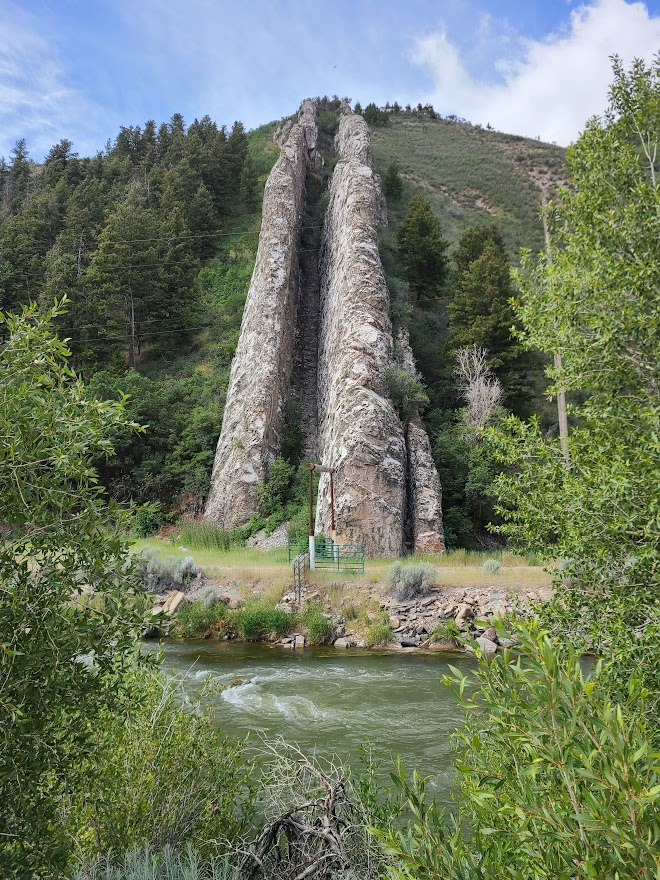
Starting to look like the red rock of Wyoming
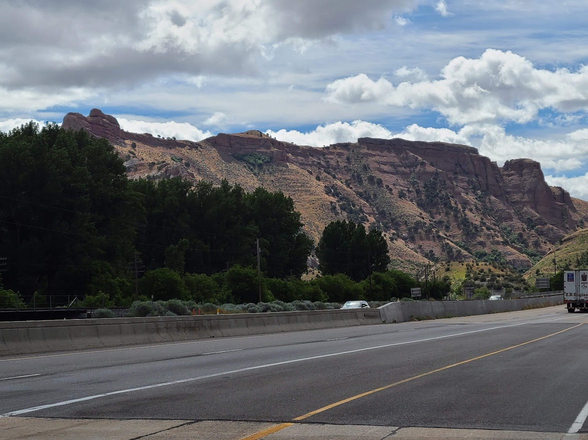
Stopped in Evanston for gas. While there, drove around a bit looking for a lunch place (windy and about 60, the usual picnic wasn't looking too good). The only thing I saw was a coffee shop which claimed to have good food. IDK, something about the exterior was off-putting to me.
Went back by the highway and went with Arby's. I don't prefer to get chain food when on the road. I'd rather give my money to something local. Looking back, what I should've done was steal their wifi and do a search for other things.
Also, I completely forgot that Little America is just down the road. I could've plowed through and got something there. I did stop and get another totally unnecessary cone though.
While there, I looked at google maps, and it was giving a travel warning for I 80 east of Rawlins. High winds, sustained 40-50 with higher gusts. That doesn't sound like fun to drive in. Looked at my atlas. There aren't many routes into CO from WY; but, the east side of Flaming Gorge NRA was a new route to me, so I decided to go down that road.
Oddly enough, the area near Flaming Gorge is the reason I have to Subie at all. Was out on a road trip, had trouble with the pickup and aborted. When I got back, got a reliable road trip vehicle.
Noticed this when getting back on the highway.
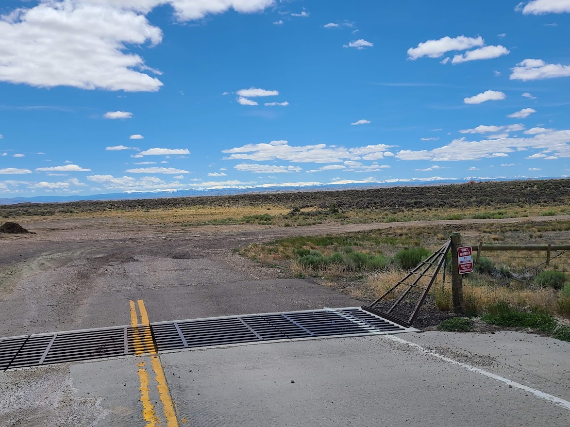
I think those are the Uinta mountains in the distance. Going toward Flaming Gorge.
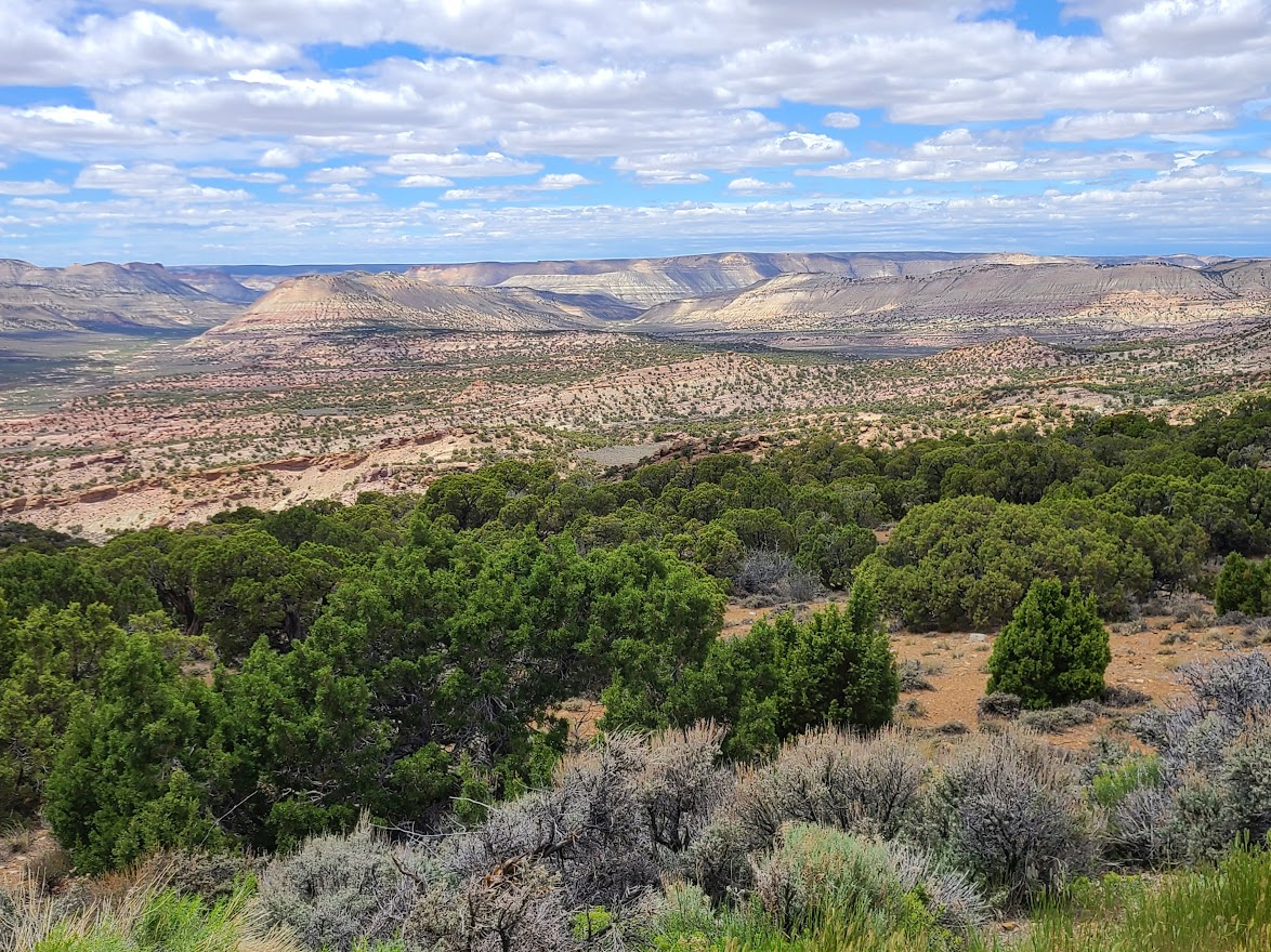
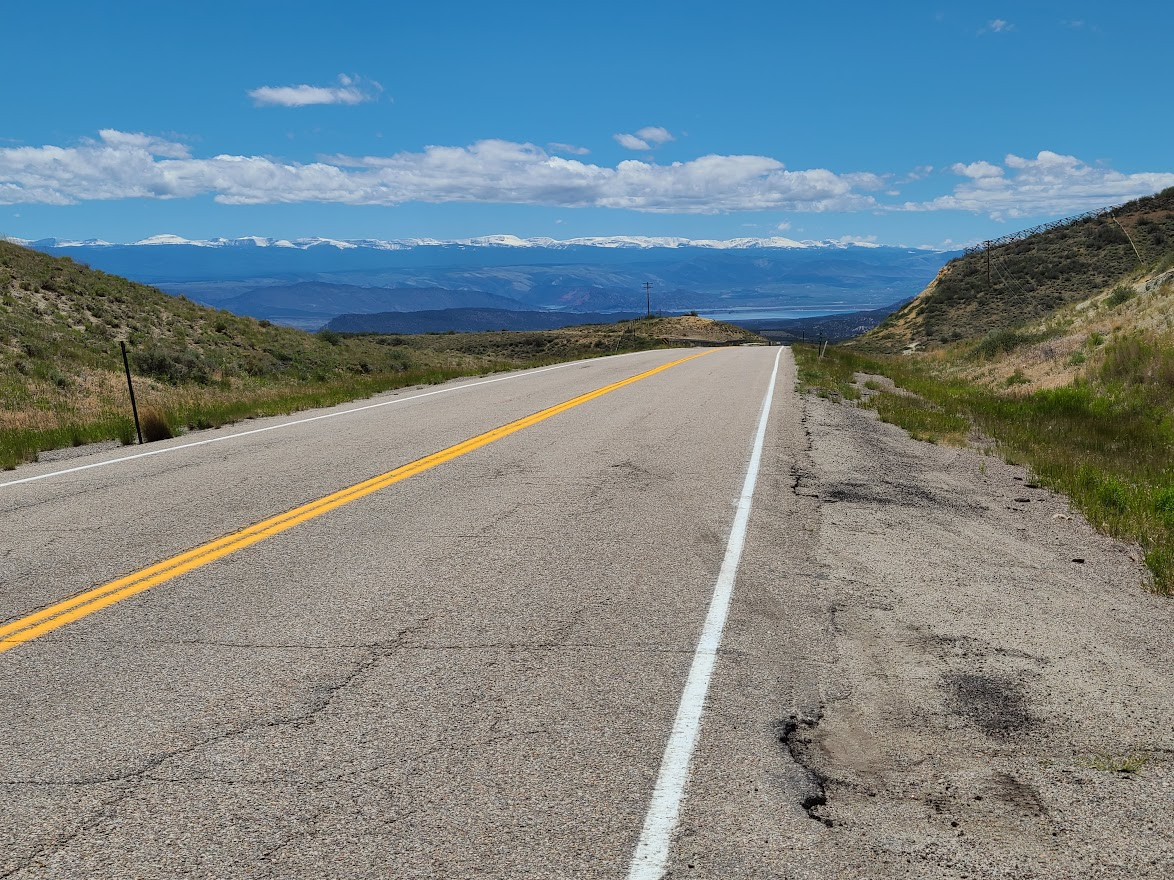
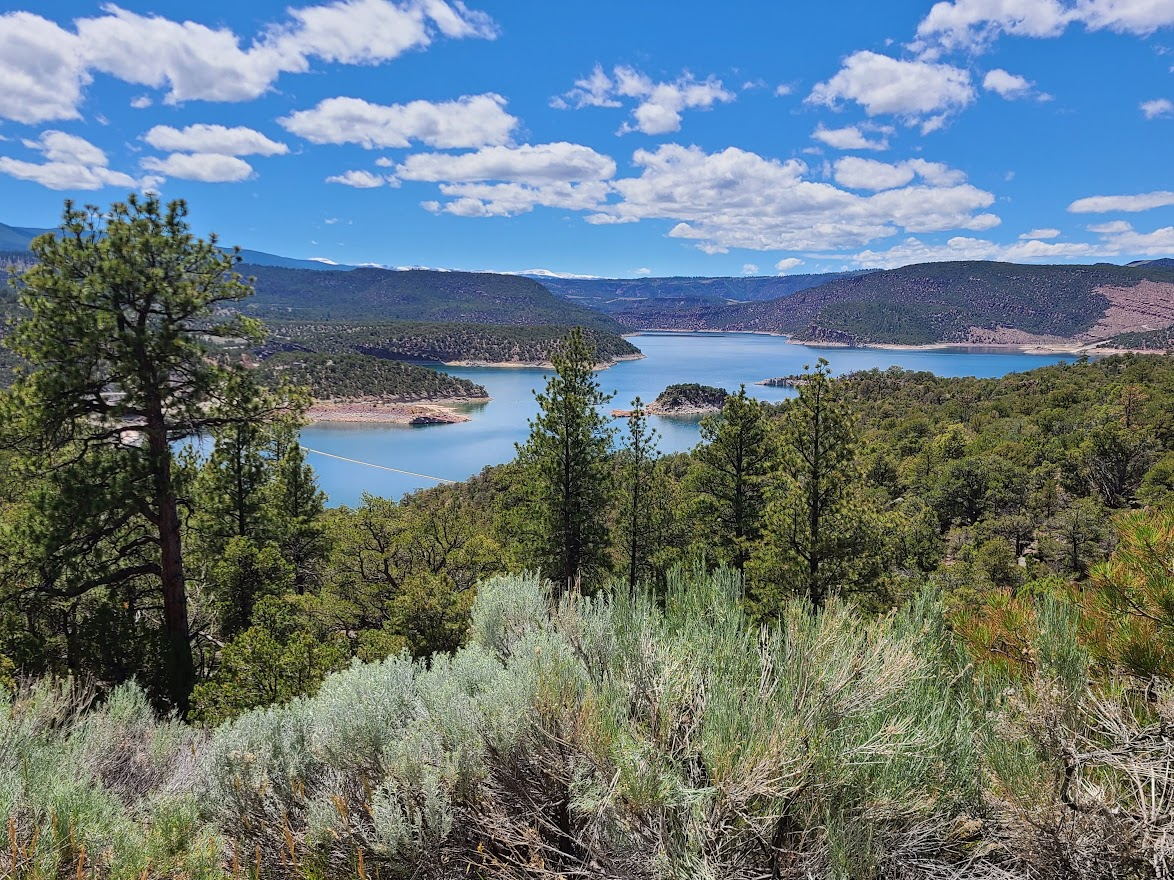
By now, the clouds had broken. Not much wind, about 75, really nice. Now headed toward Vernal.
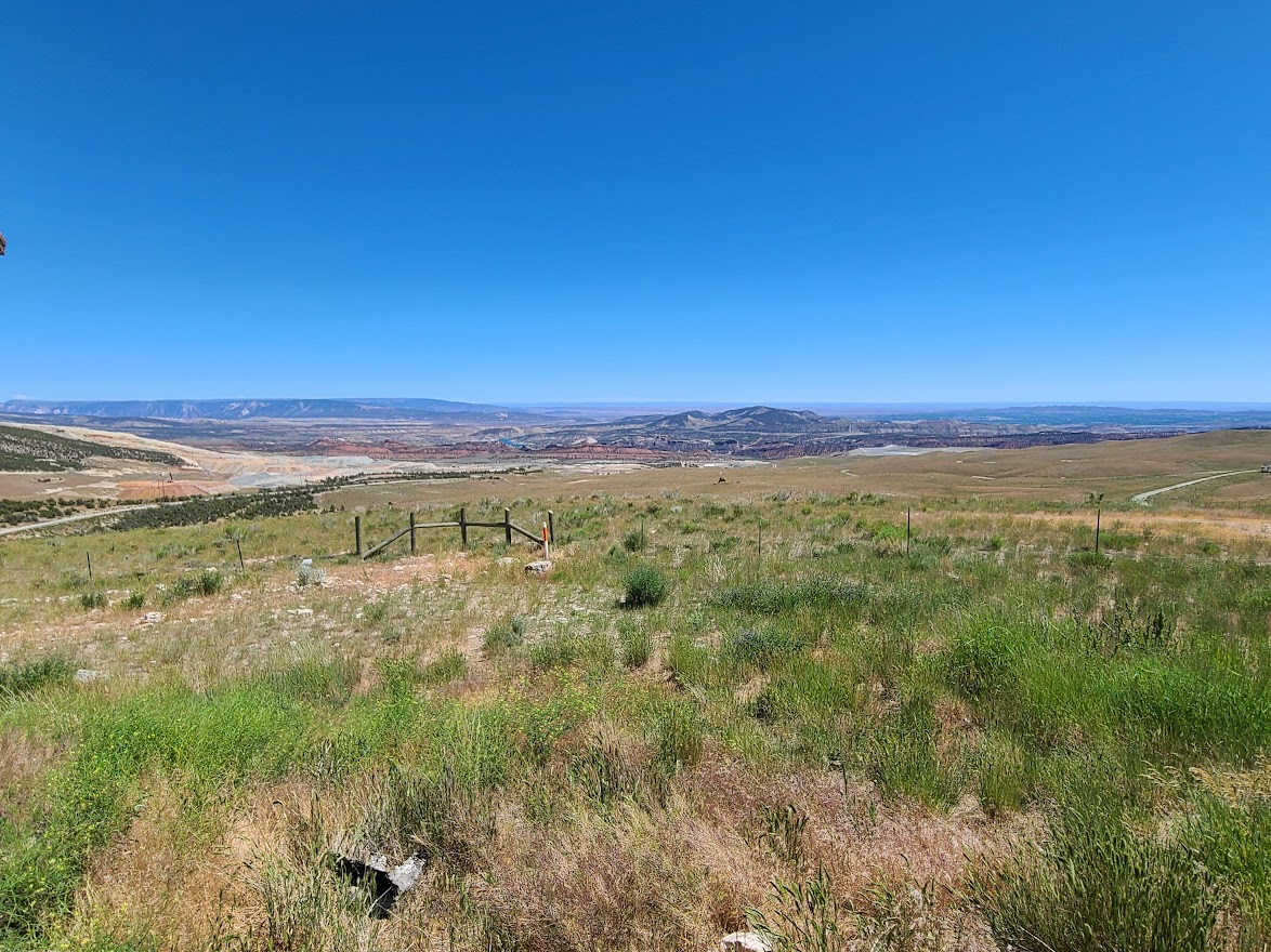
This rerouting meant I got to go to this:
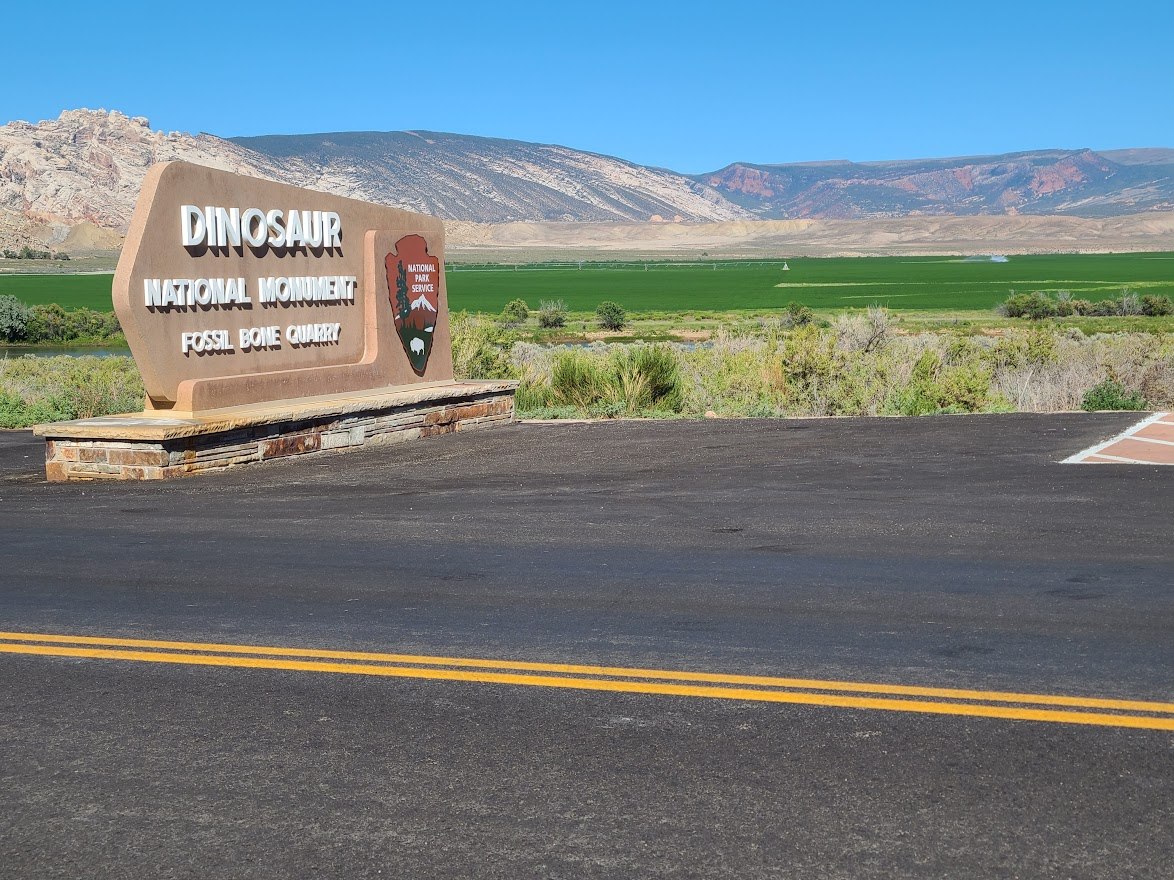
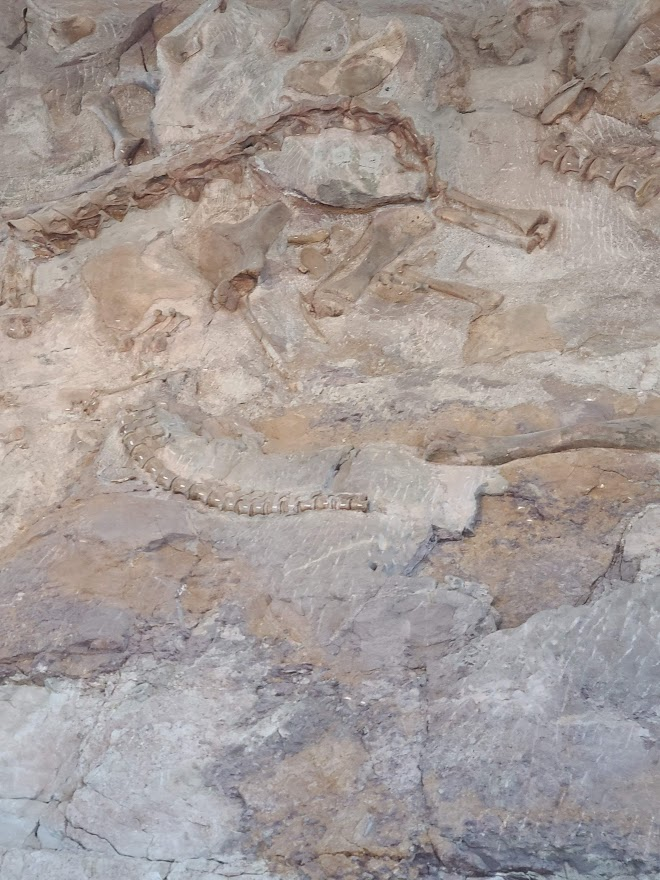
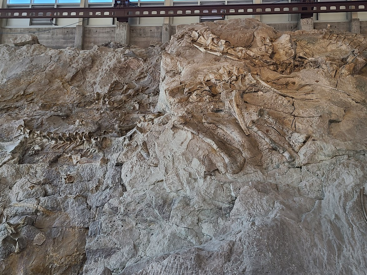
I'd been here years before, but it's still pretty interesting. The original excavator had the idea (back in the 1910s or 20s) to leave a section in place so future people could get a notion of how they are buried in the real world.
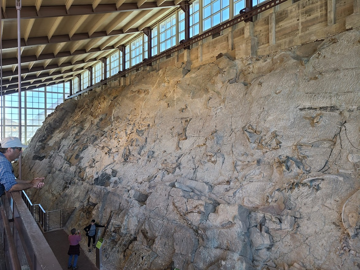
Some are quite obvious
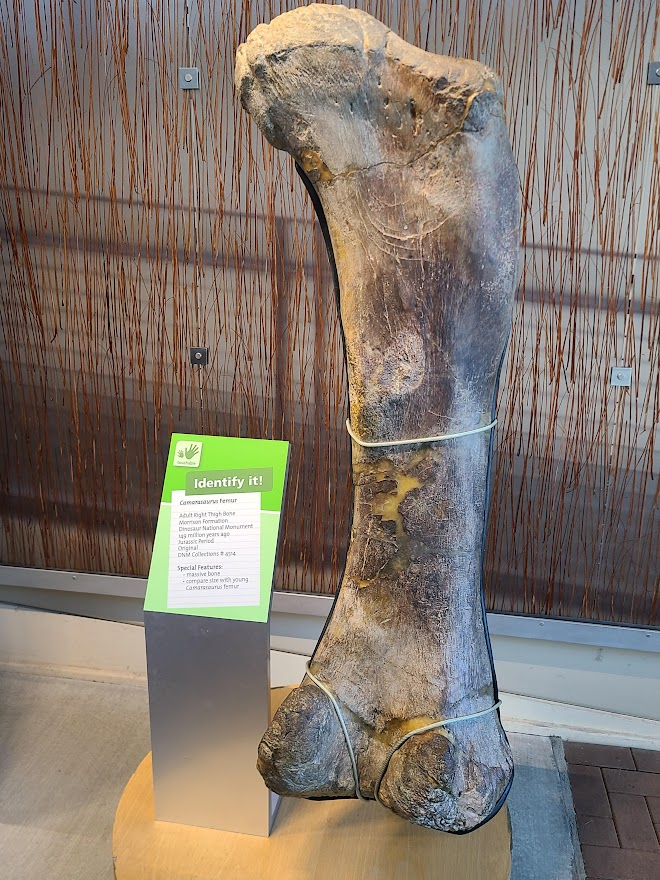
They do have some displays you're allowed to touch. Reminded me of Petrified Forest, which makes sense. This one was probably 5' tall.
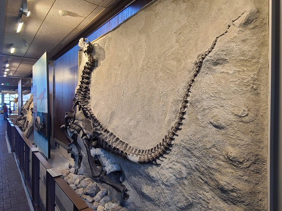
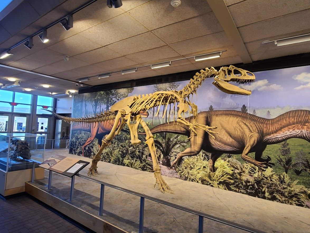
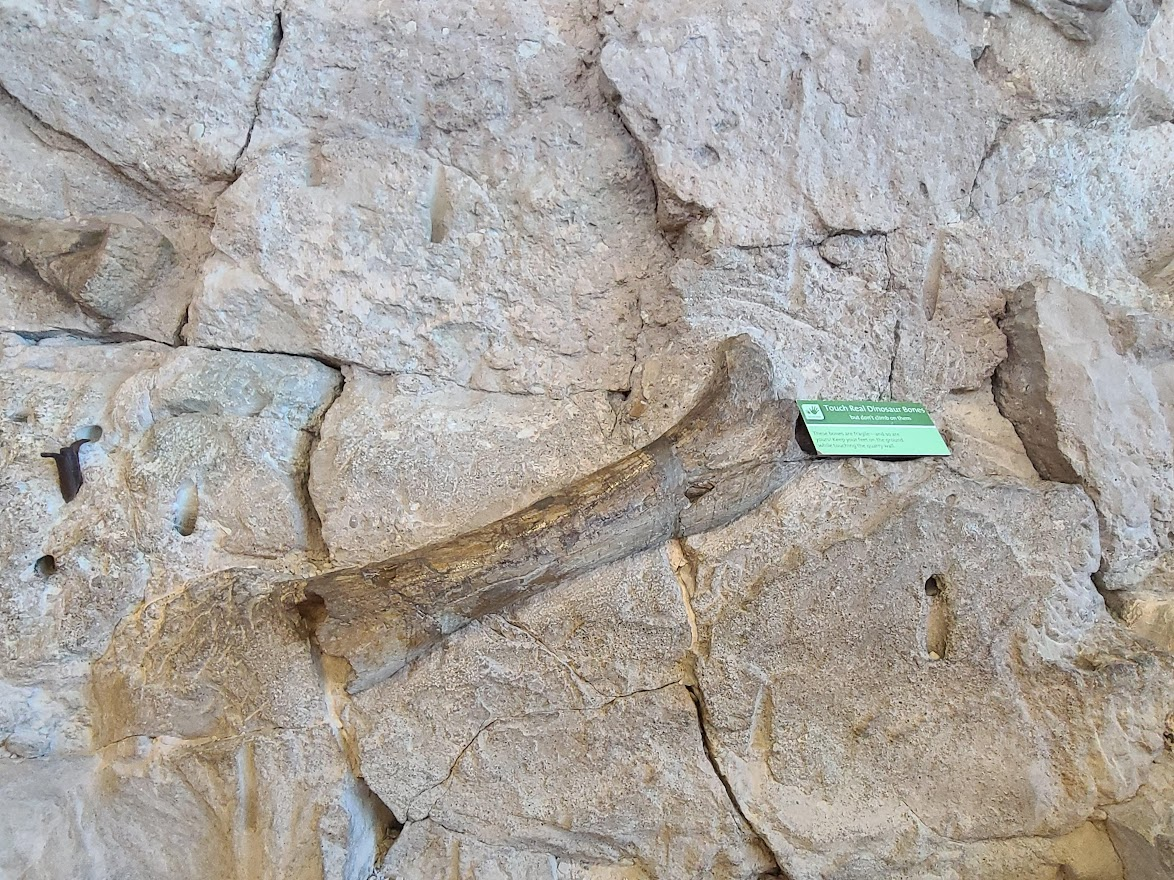
The quarry is about a five-minute tram ride from the visitors center. There's a nice trail back. Since it was nice out, walked along that. Only saw a couple geckos.
I guess this must be the mascot.
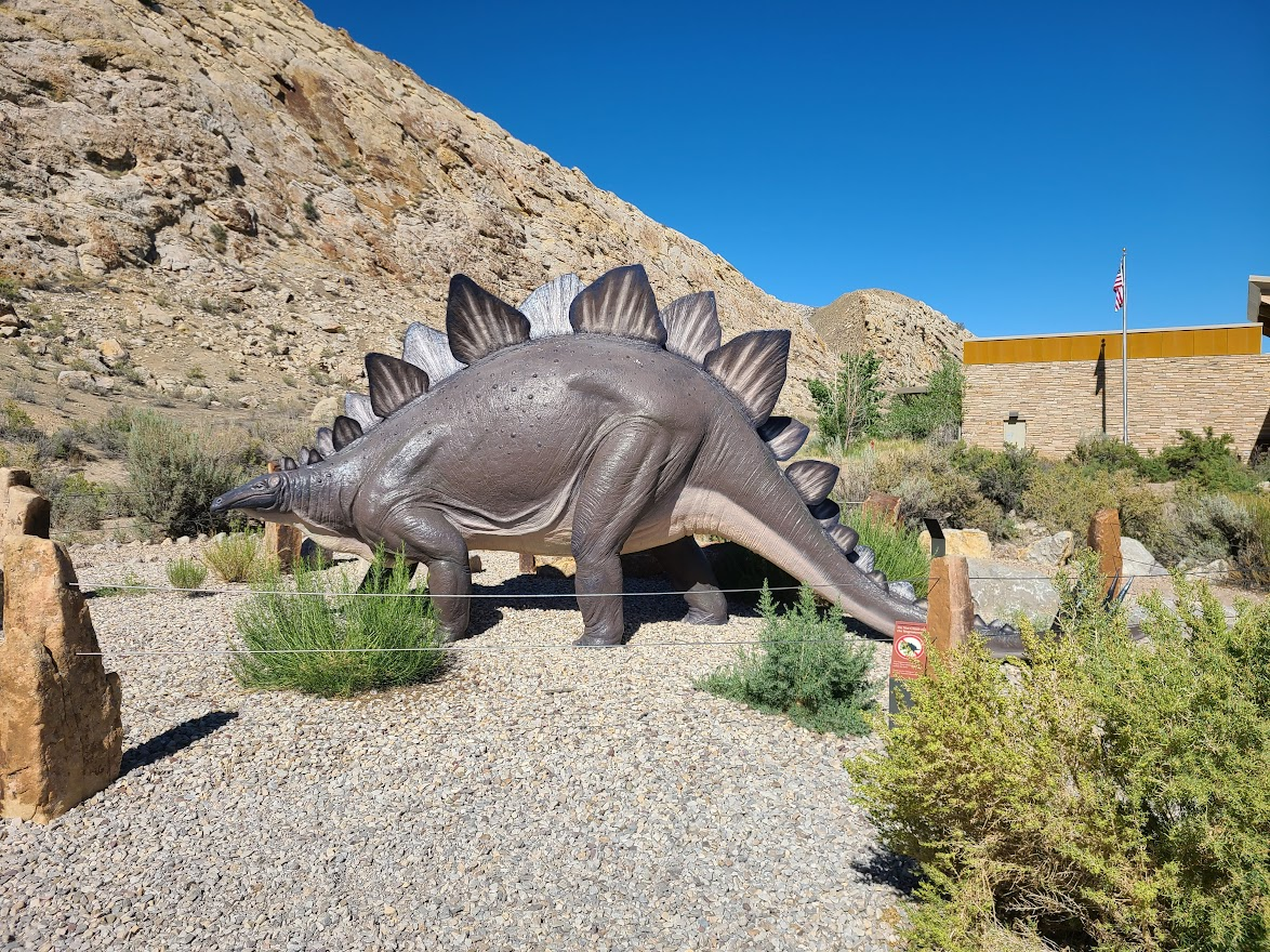
Since I'd had my restaurant meal earlier, and it was nice out now, had a sandwich before taking off. Decided to have a Mountain Dew since I knew I'd be getting back late. Ground along, got to Rabbit Ears Pass by Steamboat about sundown. Just after that, I've got a decision:
- 1. Stop and stay somewhere
- 2. Turn left, more direct
- 3. Turn right to I 70
Didn't really consider #1, though Kremmeling does have hotels. #2 means more driving on twisty mountain roads, and I take the chance the RMNP closes the west gates at night. I chose the glorious path of least resistance, and went toward I 70.
Tough for me to go at night, but Mr. Moon tried to help.
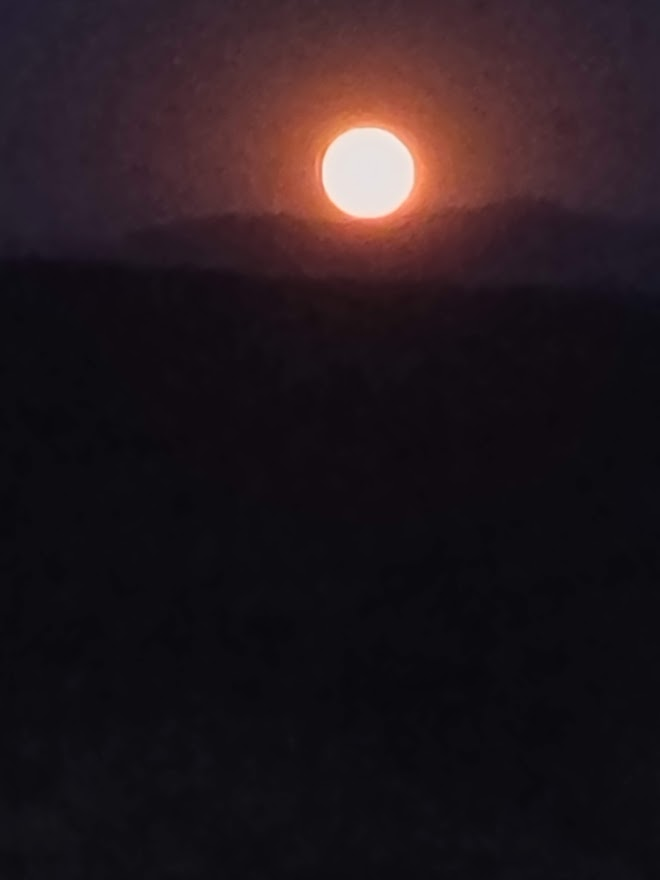
Could use brights to help define the roadway when there wasn't opposing traffic, so it wasn't too bad. Got to Silverthorne, then up to the tunnels and down, down, down to Denver. Finally got home just after 11. Dragged stuff in, had a few beers and went to bed.
Of course, up early today. Sigh. Got something to eat, then to the store for milk and bread. Home, started laundry, walked to the post office to retrieve mail. Will need to mow and that sort of thing, but no hurry. Back to my boring life.
Stats:
Two countries, one province and six states. Entered Utah and Washington 3 times, all other two (if you count starting in Colorado as 'entering').
.768 gallons of gas saved due to the Subie's auto-shut-off when stopped, over 1h 36m 22s.
5195.6 miles at 34.8 MPG.
End mileage just over 39000, but don't feel like going out to check for sure. Five year old car.
I think the highest I paid was something like $5.29 in the Olympic peninsula. Lowest $3.99 in Wyoming.
I'm sure there will be other things I remember to mention later, as usual.
Nice weather all the way through Seattle, then clouds and rain all the way back except the one afternoon near Portland and the final afternoon.

